Department of Commerce
National Oceanic and Atmospheric Administration
National Weather Service
National Centers for Environmental Prediction
Aviation Weather Center
AWC HOME
Advisories:
SIGMET/AIRMET
Intl SIGMET
Forecasts:
Area Forecast
Low SIGWX Progs
Mid SIGWX Progs
High SIGWX Progs
CCFP
Convection
Turbulence
Icing
Winds/Temps (FB)
Center Weather
TAFs
Observations:
PIREPs
METARs
RADAR
Satellite - Domestic
Satellite - Intl
Programs/Pages:
Flight Folder
Charts (GIF/PNG)
Horizontal Weather Depiction (HWD)/RADAR Summary
Volcanic Eruptions
Significant Weather (SIGWX)
Canadian Graphical Area Forecasts
Clouds and Wx
Ice and Turb
Wind and Temperature
Area A
(Americas)
Area B1
(AMERS-AFR)
Area C
(Europe-Africa)
Area D
(Asia)
Area E
(Asia-Australia)
Area F
(Pacific)
Area G
(Asia)
Area H
(North Atlantic)
Area I
(North Pacific)
Area J
(South Pole)
Area M
(Pacific)
ADDS
Standard Briefing
Adverse Conditions:
CONVECTIVE
Convective SIGMETs
(WST)
National Convective Weather Forecast
(NCWF)
Collaborative Convective Forecast Product
(CCFP)
Convective Watches
(WW)
SIGNIFICANT METEOROLOGICAL INFORMATION (SIGMETs)
Domestic SIGMETs
(WS)
U.S. Offshore SIGMETs
Oceanic FIR SIGMETs
International SIGMETs
AIRMETs (IFR Conditions, Moderate Icing, Moderate Turbulence)
AIRMETs
(WA)
Synopsis:
WEATHER CHARTS
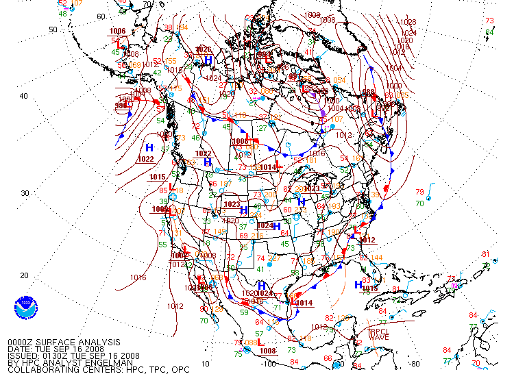
Surface Analysis
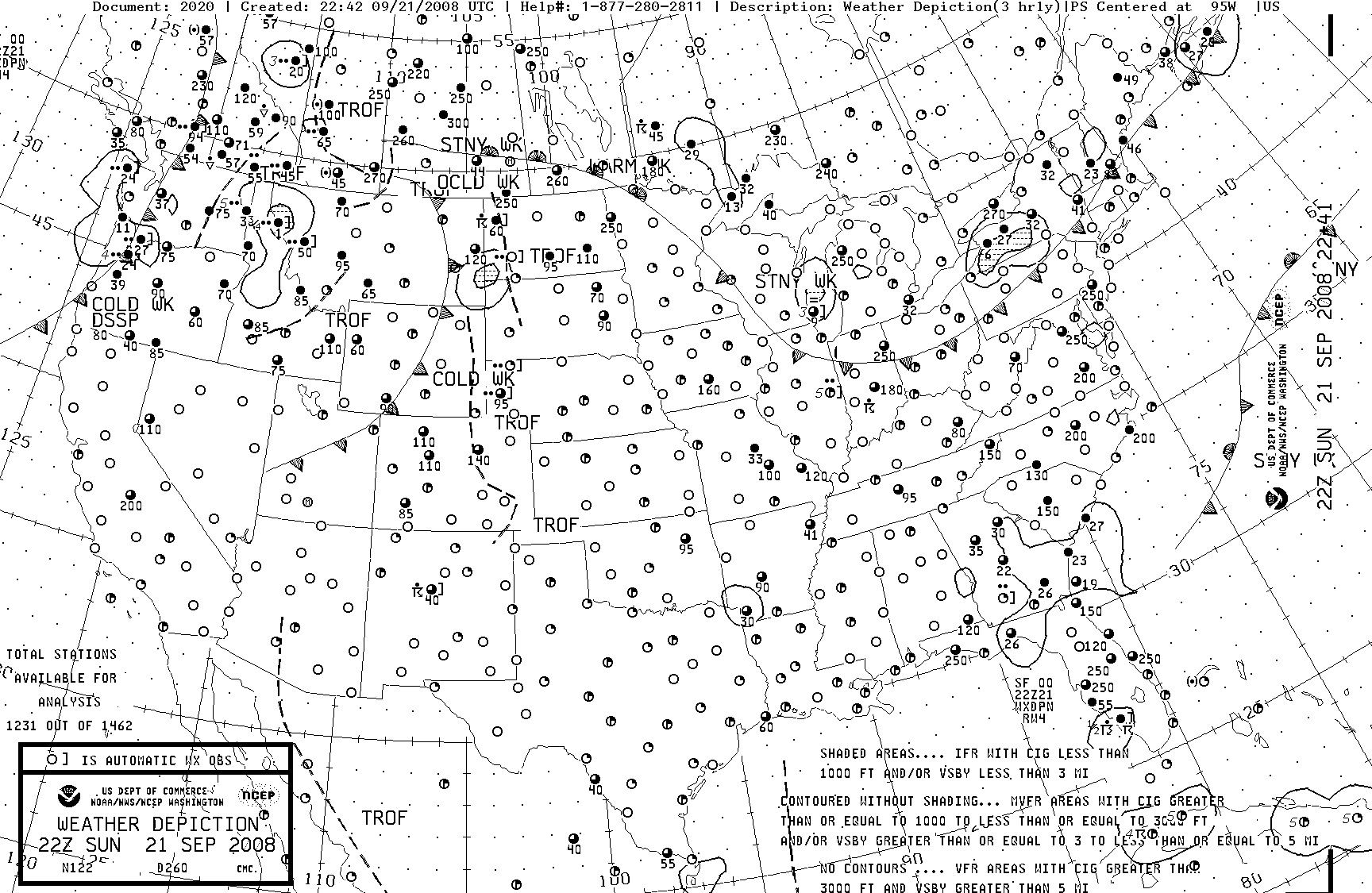
Weather Depiction
GIF
PDF
RADAR Summary
GIF
PDF
Daily US Weather Map
CONSTANT PRESSURE CHARTS
plug-in viewer
850MB
(~ 5,000')
700MB
(~10,000')
500MB
(~FL 180)
300MB
(~FL 300)
200MB
(~FL 390)
Current Conditions:
METARs
METARs
(by ICAO identifier)
METARs
(Plain English)
RADAR
NWS RADAR Site
-
Alternate Site
National RADAR w/ Tops
Image
Loop
PILOT REPORTS
Interactive PIREPs
(ADDS)
SATELLITE
GOES East
(Vis/Fog w/ AFC)
GOES West
(Vis/Fog w/ AFC)
CONUS
Vis
IR(BW)
IR(Col)
WV
International
CONUS
(image map)
En Route Forecast:
Area Forecasts
(FA)
Route Forecasts
(TWEB)
Low Level SIGWX Progs
Mid Level SIGWX Progs
High Level SIGWX Progs
Destination Forecast:
TAF decoder
Individual TAFs
(text)
TAF Graphics
Regional TAFs (text)
(Not Available Yet)
Winds and Temps Aloft (FD):
By Region
Notices to Airmen:
U.S. NOTAM Office
Notices to Airmen Publication
ATC Delays:
National Airspace System Status (FAA Command Center)
Additional Information:
User Customized Graphical Weather
AWC Product Overlays
Center Weather Advisories and Meteorological Impact Statements
Center Weather Service Units
Convective Outlook from the Storm Prediction Center
Day 1
Day 2
Miscellaneous Aviation Weather Products:
International Flight Folder Documentation Program
WAFS FAX products
(TIFF images)
NWS FAX products
(TIFF images)
Aviation Testbed
Experimental Products:
Lightning Probability from MDL
Graphical Area Forecast (FA) Experiment
(GFAX)
GFAX G-AIRMET Demo
Experimental Displays:
TAF Graphics
Graphical Turbulence Guidance (GTG)
Current Icing Potential (CIP)
Forecast Icing Potential (FIP)
Product Overlay Display
Guidance Products:
Turbulence Guidance
Ellrod Index (ETA)
Ellrod Index (RUC)
Information
Aviation Links
End ... AWC SiteMap
