...Thunderstorm Chances Increase Today...
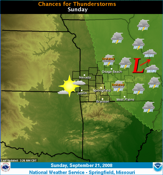
A frontal boundary will continue to slowly sag south into southwest and south central Missouri by later this afternoon. Instability will increase this afternoon as temperatures warm back into the low 90s behind the front and into the mid to upper 90s ahead of the front. The front will act as a focusing mechanism for thunderstorm redevelopment this afternoon and evening. Some of these storms may become severe. South of the front...temperatures will likely reach the mid to upper 90s again with heat indices from 100 to 104 degrees.
Return to News Archive