| Chetco River |
 |
|
 |
| Coastal Boating Guide Links |
|
Coastal Bars, Bays & Rivers
|
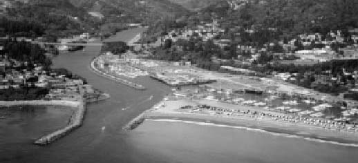
| Chetco River |
|
Danger Areas
A. West jetty rock area. This area is dangerous because of many rocks and shoaling. At high tide the rocks are covered by water and the area appears navigable but is extremely dangerous. Avoid this area at all times.
B. Jetty and shoal areas. These areas are extremely dangerous at all times because of submerged rocks and breakers. Two rocks in this area may be seen at low tide. Avoid this area at all times.
Range Markers
The range marker consists of a red rectangular shape with a black vertical stripe mounted on a skeleton tower. By steering a course that keeps the two range markers in line, you will remain within the channel.
Rough Bar Advisory Sign
Positioned on the Coast Guard fuel dock facing north-
northwest.
Bar Condition Reports
KURY (910 kHz). Hourly or more often if the bar is rough.

Click here for larger, 300 DPI chart
|
|
|
|