PUEBLO AVIATION WEATHER
Check out the latest edition of "The Front" - A Regional Newsletter dedicated to Aviation Weather
Aviation Weather Center Standard Briefing
Terminal Aerodome Foecasts
Pueblo KPUB
000
FTUS45 KPUB 211100
TAFPUB
TAF
KPUB 211130Z 211212 VRB05KT P6SM SCT200
     FM1600 18010KT P6SM SCT200
     FM2100 17012KT P6SM SCT100 SCT150=
Colorado Springs KCOS
000
FTUS45 KPUB 211100
TAFCOS
TAF
KCOS 211130Z 211212 01006KT P6SM SCT150
     FM1600 18012KT P6SM FEW100 SCT200
     FM2000 19015KT P6SM VCTS SCT080CB BKN120
     FM0300 02008KT P6SM FEW120 SCT200=
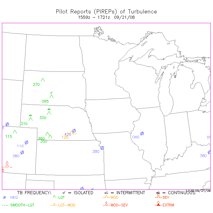
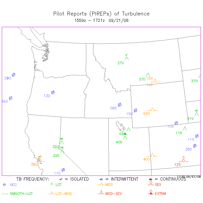
Pilot Reports (PIREPs)
| Aircraft Icing |
U.S. | NE - SE NC - SC NW - SW |
Sky Conditions | U.S. | NE - SE NC - SC NW - SW |
|---|---|---|---|---|---|
| Turbulence | U.S. | NE - SE NC - SC NW - SW |
Experimental product for soaring guidance, Southern Front Range
METARS:
Pueblo
Colorado Springs
Denver
La Junta
RADAR AND SATELLITE
Radar
|
IR Satellite
|
Vis Satellite
|


WATCHES AND WARNINGS
 Latest Watches And Warnings
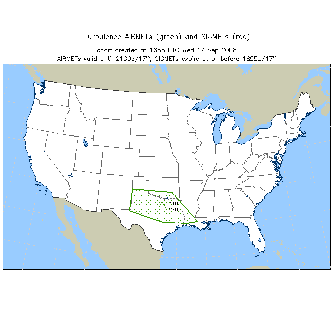
AIRMETS/SIGMETS
Plots of AIRMETS / SIGMETS
Text AIRMETS / SIGMETS by Center
Interactive AIRMET/SIGMET Java Tool

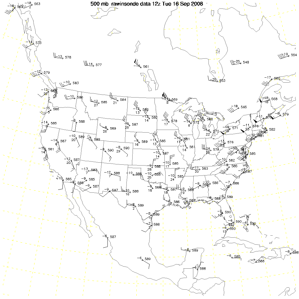
OBSERVED UPPER AIR WINDS
(COURTESY RAP/NCAR)
SURFACE OBSERVATIONS
(COURTESY RAP/NCAR)
 :
:
NOTAMS:
https://www.notams.jcs.mil/geo/radiusForm.html
Constant Pressure Plots From the Storm Prediction Center

Other Aviation Links |