|
 |
|
EnviroMapper for Water
 |
Welcome to the newly redesigned EnviroMapper for Water!
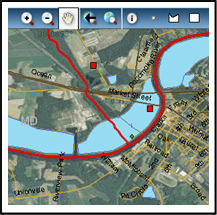
Click on the graphic to the left to enter.
EnviroMapper for Water is a web-based Geographic Information System (GIS) application
that dynamically displays water quality and other environmental information about
bodies of water in the United States. This interactive tool allows you to create customized maps that portray the nation's
surface waters along with a collection of water quality related data from the
national level down to community level.
The redesigned tool provides the ability to:
- Geographically display a variety of EPA water program data
- Pan, zoom, label and print maps
- Link to water program web reports after identifying specific features of interest
- Generate specific water quality related reports based on an area of interest
Have you always wondered about the health of a river near where you live? Now you can find out by creating a map using EnviroMapper for Water.
|
|