Watersheds Part 3
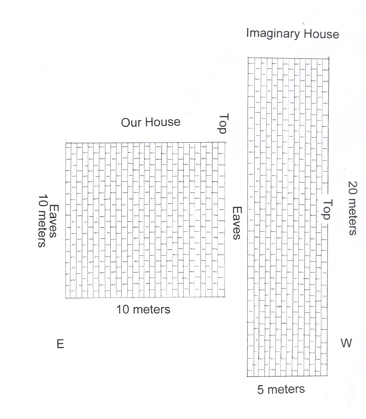
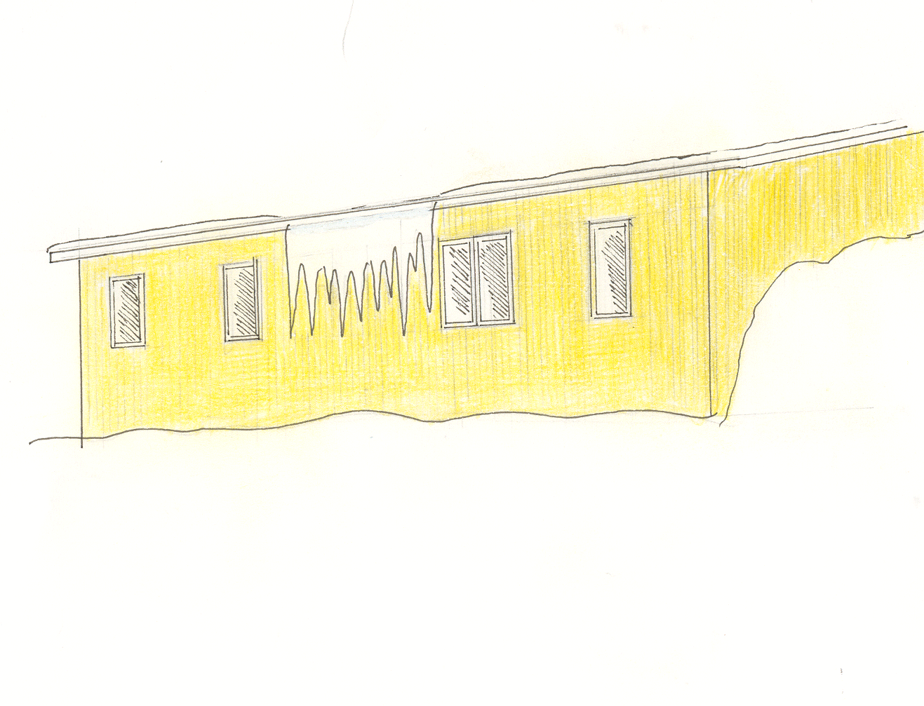
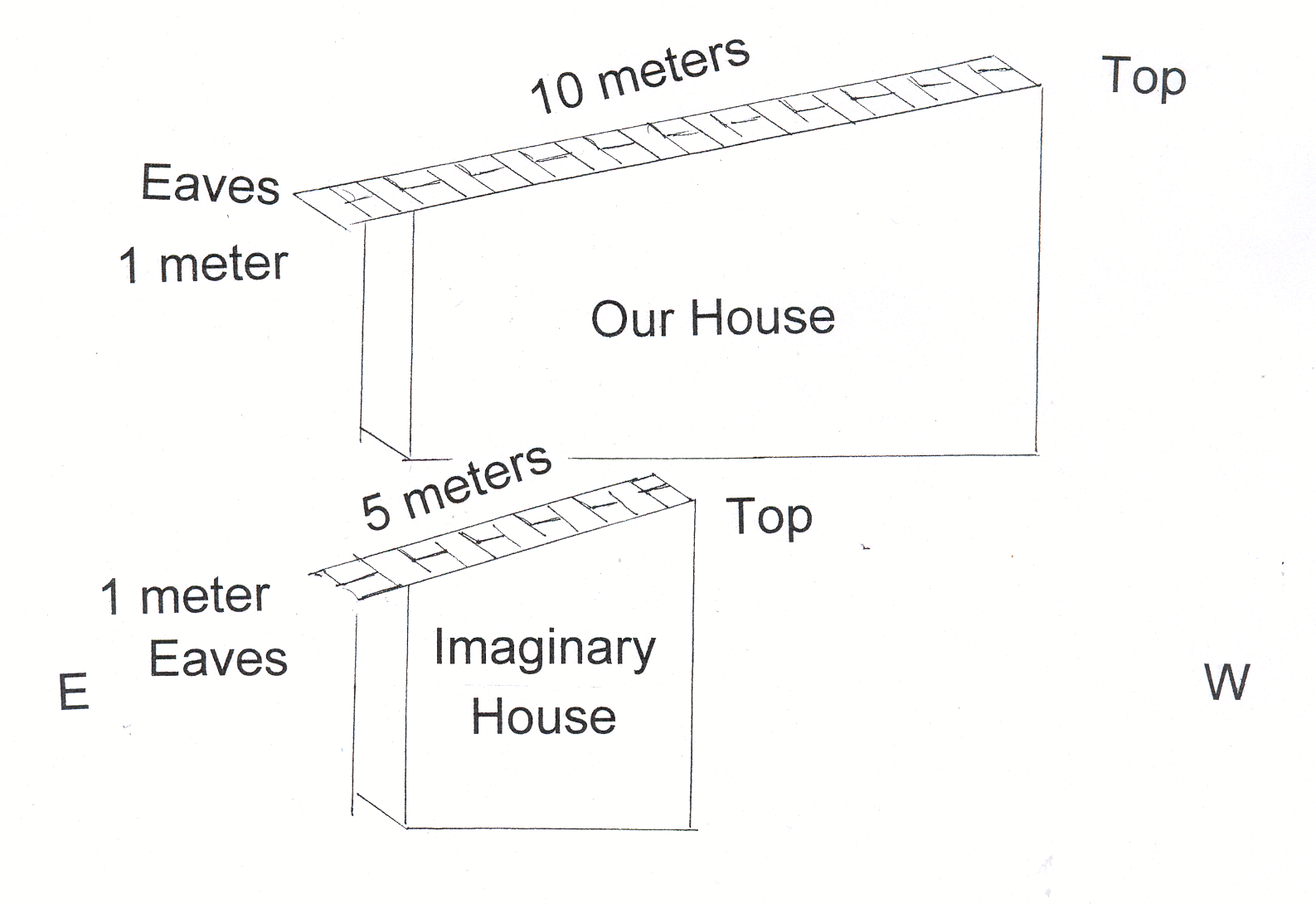
Tuesday, January 29th, 2008On the surface, we have something similar called “watersheds.” If the water isn’t soaking into the ground, hills act like our roofs, and the water flows on the surface until it hits a stream or river.
If you look at a stream, it is surrounded by higher ground. If you include all the ground that is feeding that stream, this area is the stream’s watershed. Let’s think a bit about what we know regarding watersheds:
- If the amount of precipitation is the same, more water flows out of bigger watersheds. Like bigger roofs shed more water.
- In big watersheds, it takes time for the water to flow out. Unlike our roof example, we cannot assume that the flow will be fastest when there is heavy rain upstream. In fact, it will take awhile for the rain to reach the outlet or mouth of the watershed.
- If the rain is light and the ground is dry, the ground might “soak up” the rain – and you might not see a change in the river or stream flowing out of its watershed. (This works in our roof example only if you are unfortunate enough to have a very leaky roof!).
Figure 4 shows an example of a watershed that I have studied. This is the Walnut River watershed, southeast of Wichita, Kansas. All the water falling on the area outlined flows into the Walnut River, which empties at the bottom of the picture.

Figure 4. The Walnut River watershed, which lies east of Wichita, Kansas, USA. Gray lines are contours; a red solid line outlines the watershed, and blue solid lines show the Walnut River and its tributaries.
This watershed measures 100 km from north to south, and about 60 km from east to west – a lot larger than the roofs.
A few years ago, scientists at Northern Illinois University and Argonne National Laboratory estimated the water budget of this watershed.
What does this mean? In simple terms:
All the water coming into the watershed = All the water going out of the watershed
It would be easy to do this if all you had to worry about was:
Rain falling in the watershed = Rain flowing out of the watershed
But it’s much more complicated, since
- The water might evaporate before it leaves the watershed, and
- Water will soak into the soil, and
- Water might flow deeper underground – that is, the watershed might “leak.”
In fact, all of these things happened in the Walnut River watershed. And these things can be complicated.For example, the amount of water evaporating or soaking into the soil changes with the surface. In Figure 5, grasslands are shown in green. Much of the area not colored is covered with crops (mostly winter wheat).
What would happen to rainfall in the late summer when the grass covers the ground but the winter wheat has been harvested? Do you think more water will run off the fields of harvested wheat? What about plowed fields?
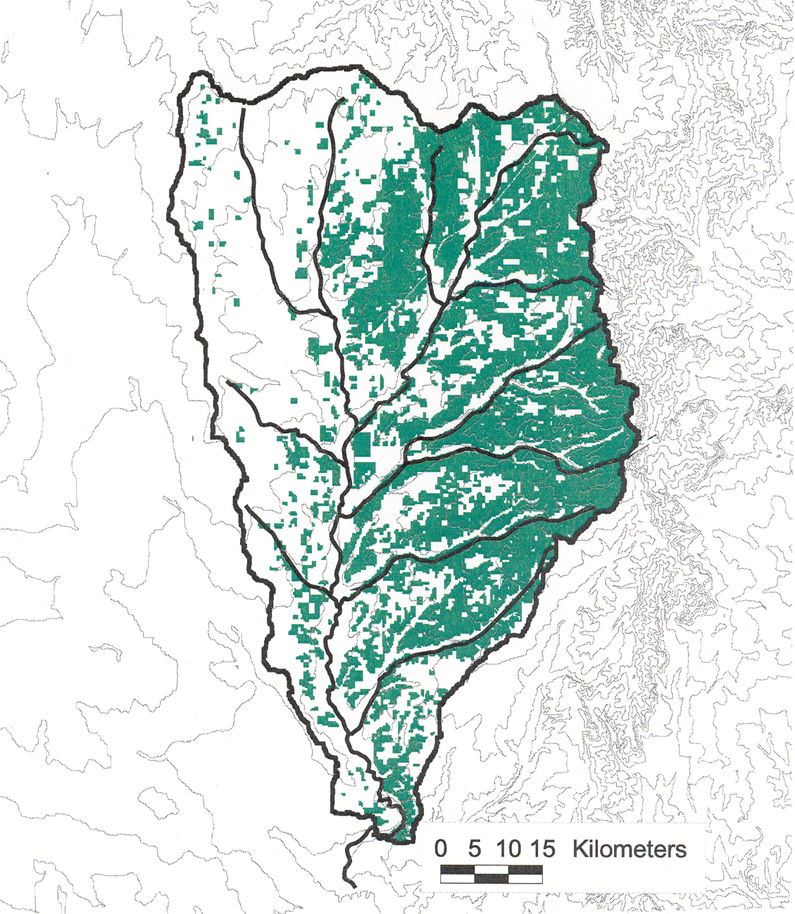
Figure 5. Contour map of the Walnut River watershed (outlined) with grasslands shaded in green.
Now think about the cities and towns. Figure 6 shows some of the larger towns in the same area.
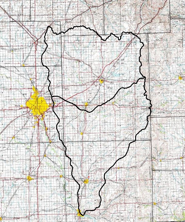
Figure 6. Map showing the upper (top) and lower (bottom) Walnut River watershed. Each small square is a mile (1.6 km) on a side.
Everywhere there is yellow, there is a city. The big yellow spot to the left (west) is Wichita. Much of Wichita is covered with concrete. Now think about what happens with a heavy rain? How much water would soak into the ground in Wichita, compared to the grassy areas farther to the east?
Now, think about the future. How much water would soak in if there were more cities, and the cities were bigger?
Clearly, what we do can affect the amount of water leaving the watershed.
Think about the watershed where you live. And watch for more about watersheds in the future: Visit the GLOBE Watershed Dynamics Earth System Science Project (ESSP) to find out more about this project and announcements for upcoming workshops. This project will be examining the flow of water through a watershed and how humans are impacting runoff and stream flow.