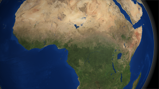
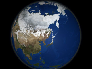
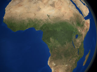
The Blue Marble Next Generation data set provides a monthly global cloud-free true-color picture of the Earth's land cover at a 500-meter spatial resolution. This visualization of the data set shows seasonal variations such as snowfall, spring greening and droughts in a seamless fashion, thereby heightening awareness of changes in the Earth's climate. Here we tour the globe, viewing seasonal land cover over many continents. This data set is derived from imagery taken in 2004 by the MODIS instrument on the Terra satellite.
This animation shows a global rotation of seasonal changes in landcover. Landcover fades from month to month, and is displayed at a rate of two months per second. This version has a date bar indicating the month being shown.
Duration: 1.1 minutes
Available formats: 320x240 (30 fps)
MPEG-1
8 MB
640x480 (30 fps)
MPEG-1
33 MB
720x480 (29.97 fps)
MPEG-2
54 MB
320x240
JPEG
17 KB
80x40
PNG
13 KB
720x486 (29.97 fps)
Frames (DateOverlay)
720x486 (29.97 fps)
Frames (LandcoverWdate)
How to play our movies
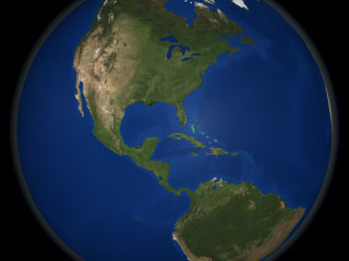
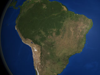
This image shows seasonal landcover over the Americas in August 2004.


