![]()
|
All links courtesy of the Aviation Digital Data Service. |
||||||
|
Terminal Aerodrome Forecasts (TAF's):
Java graphical display |
||||||
Route and Area Forecasts: |
||||||
| Area Forecast for Illinois AIRMET's/SIGMET's | ||||||
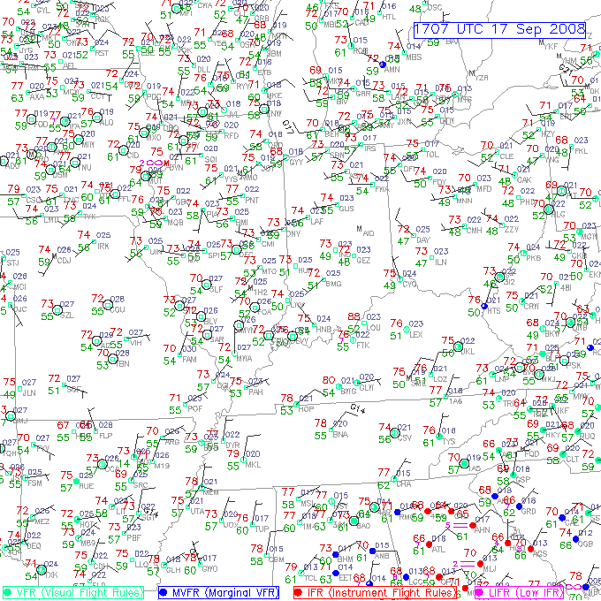
Observed Weather: |
||||||
|
Pilot Reports (PIREP's) Surface Observations: |
||||||
|
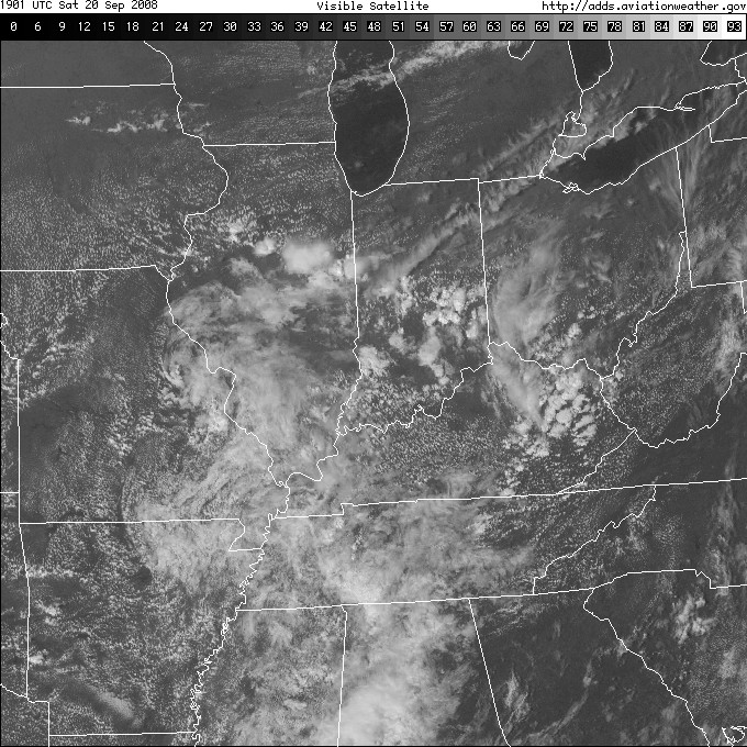
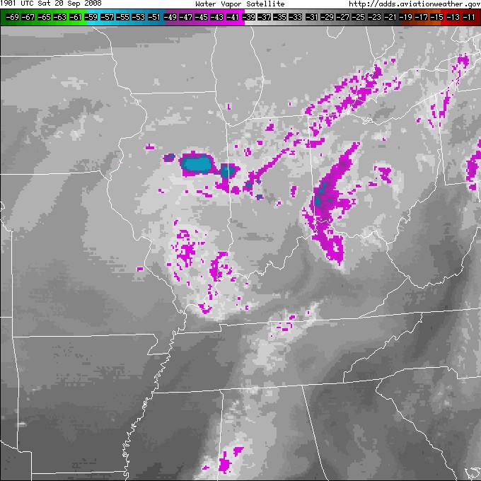
Satellite Data:
|
||||||
|
Radar Images:
(click to enlarge) |
||||||
 National Image (click here for radar loop) Lincoln Radar Image |
||||||
|
||||||
