Index:
NHC Advisories
Tropical Outlook
Surface Observations
Tropical Skew-T's
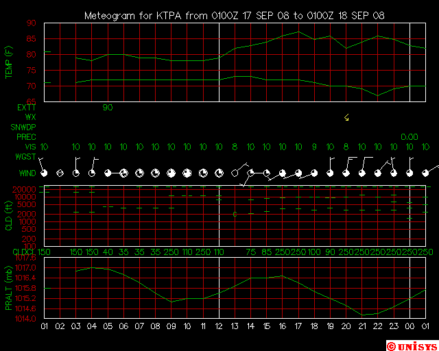
Meteograms
Buoy and Ship Data
Wave Hts. & Forecasts
Sea-Surface Temperature
Reconnaissance Flights
Satellite Pictures
Satellite Loops
Scatterometer Data
Radar Images
Radar Loops
Wx Forecast Models
Shear Maps
Ensemble Forecasts
NOGAPS Model
ETA Model
NGM Model
AVN Model
ECMWF Model
MRF Model
Canadian Model
UKMET Model
Other Hurricane Info
Other Hurricane Links
Hurricane Names

FREE The Atlantic Tropical Weather Center's Official Tracking Map - Click here
 Purchase Hurricane Flags at Hurricaneflags.com!
|

***Updated for 2008***Latest Products from NHC/NWS
*** Forecast Track Maps of All Atlantic Systems from TSR ***- Tropical Cyclone Discussion---
- No current Alt. Site, Alt. Site, Alt. Site, Alt. Site, Alt. Site
- No current Alt. Site, Alt. Site, Alt. Site, Alt. Site, Alt. Site
- No current Alt. Site, Alt. Site, Alt. Site, Alt. Site, Alt. Site
- No current Alt. Site, Alt. Site, Alt. Site, Alt. Site, Alt. Site
- No current Alt. Site, Alt. Site, Alt. Site, Alt. Site, Alt. Site
- Marine Advisory/Forecast---Links Activate During Activity
- No current Alt. Site, Alt. Site, Alt. Site, Alt. Site, Alt. Site
- No current Alt. Site, Alt. Site, Alt. Site, Alt. Site, Alt. Site
- No current Alt. Site, Alt. Site, Alt. Site, Alt. Site, Alt. Site
- No current Alt. Site, Alt. Site, Alt. Site, Alt. Site, Alt. Site
- No current Alt. Site, Alt. Site, Alt. Site, Alt. Site, Alt. Site
- Strike Probabilities---Links Activate During Activity
- No current Alt. Site, Alt. Site, Alt. Site, Alt. Site, Alt. Site
- No current Alt. Site, Alt. Site, Alt. Site, Alt. Site, Alt. Site
- No current Alt. Site, Alt. Site, Alt. Site, Alt. Site, Alt. Site
- No current Alt. Site, Alt. Site, Alt. Site, Alt. Site, Alt. Site
- No current Alt. Site, Alt. Site, Alt. Site, Alt. Site, Alt. Site
- Public Advisory---Links Activate During Activity
- No current, Alt. Site, Alt. Site, Alt. Site, Alt. Site, Alt. Site
- No current, Alt. Site, Alt. Site, Alt. Site, Alt. Site, Alt. Site
- No current, Alt. Site, Alt. Site, Alt. Site, Alt. Site, Alt. Site
- No current, Alt. Site, Alt. Site, Alt. Site, Alt. Site, Alt. Site
- No current, Alt. Site, Alt. Site, Alt. Site, Alt. Site, Alt. Site
- Special Tropical Disturbance Statement or Alt. Site, Alt. Site
- Tropical Cyclone Position Estimate or Alt. Site (Issued when hurricanes are in radar range)
- HPC Advisories when TCs are dissipating over the United States
- Atlantic or Pacific Advisory Archive , Alt. Site
- General Tropical Weather Advisories
- Tropical Cyclone Local Statements, Alt. Site
- Tropical Cyclone Special Update or Alt. SiteAlt. Site
- Short-Range or Long-Range or Model Comparison US Weather Discussions from HPC/NCEP
- Tropical Weather Outlook, Alt. Site, Alt. Site, Alt. Site : En Espanol
- Tropical Weather Discussion, Alt. Site, Alt. Site
- FSU Weather Server
- Alternate Site to Advisories (IWIN), College of Dupage Tropics Page
- Hurricane Coordinates for the 2005 Season, Historical Tropical Cyclone Coordinates
- If all else fails, go to Texas A & M and request the tropical data by typing in nhc for station identifier, then click to other data, changing the menu bar to #3, Tropical Weather/Storm Stmts. Hit Submit Request and you are finished!
- NCEP Tropical Desk or Alt. Site
- High Seas Forecast, Alt. Site
- Monthly Tropical Weather Summary
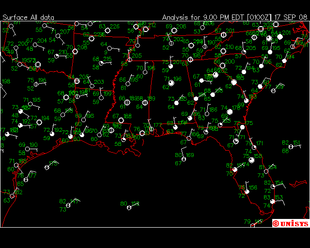
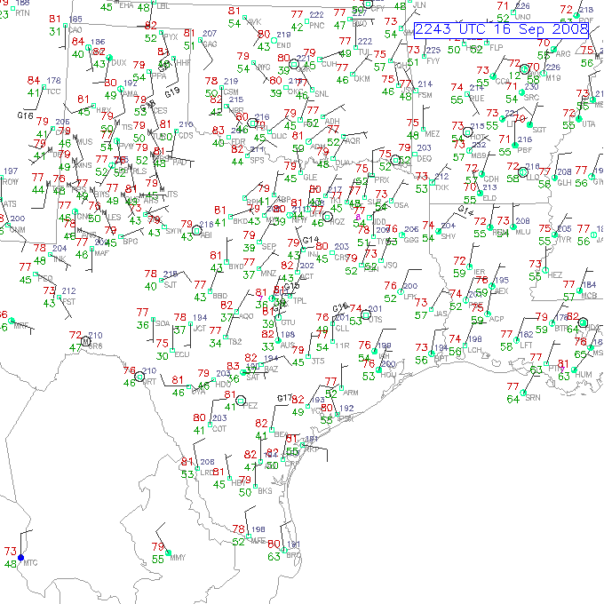
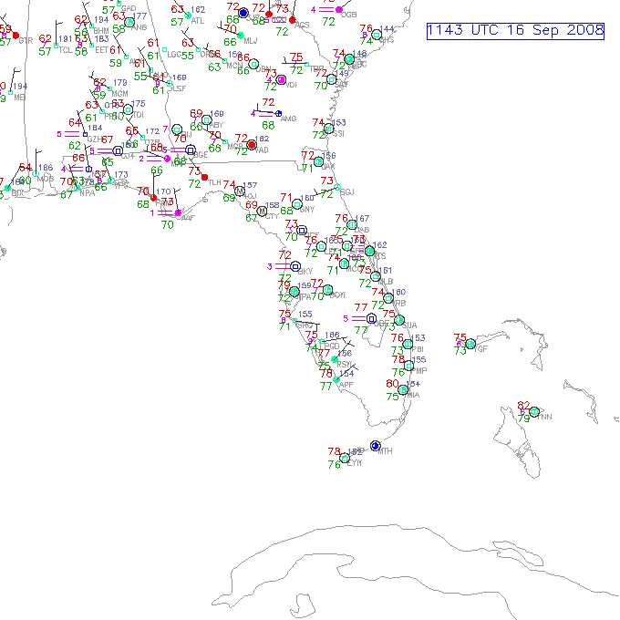
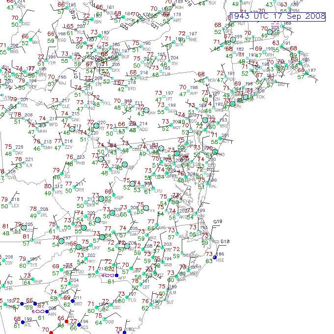
Surface Observations
- MADIS FSL Mesonet
- Plot of Caribbean Sea, Alt. Site
- Surface Maps of the Tropics from TAFB/NHC
- Plot of Gulf Coast and Florida or Alternate Site, Alt. Site
- Plot of TX & LA or LA, MS, AL, West FL or FL, GA
- Plot of GA, SC, NC, VA, MD, DE or VA, MD, DE, NJ, NY, RI, CT, MA or Extreme NE US
- Plot of Mexico & Bay of Campeche or Alternate Site
- Plot of Mid-Atlantic or Alternate Site
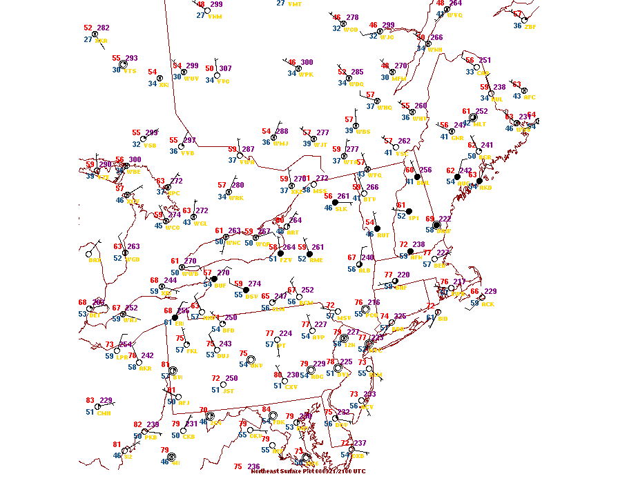
- Plot of Northeast or Alternate Site
- Various Caribbean Surface Reports Here are some Caribbean three letter identifiers to search for: SVMG=Isla de Margarita, TTPP=Trinidad, TTCP=Tobago, TGPY=Grenada, TBPB=Barbados, TVSV=St. Vincent, TLPL,C=St. Lucia, TFFF=Martinique, TDPR=Dominica, TFFR=Guadeloupe, TAPA=Antigua, TKPK=St. Kitts, TNCM=St. Marteen, TISX=St. Croix, TJSJ=San Juan, TXKF=Hamilton, Bermuda, MWCR=Grand Cayman, TNCC=Curacao surface observations click on international weather conditions.
- surface obs from ucar
- News, Weather Info from the Caribbean, Another Site, Virgin Islands Monitoring, St. Croix Weather Reports
- Forecasts for the Caribbean Latest Weather Roundup from Puerto Rico/US Virgin Islands
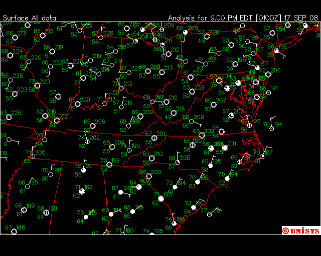
- US Surface Analysis
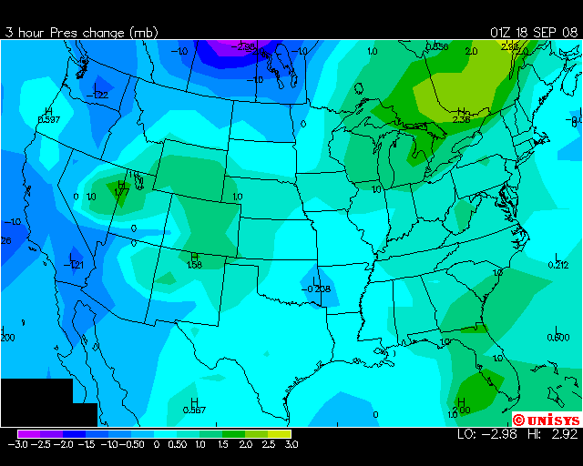
- 3 Hour Pressure Tendency Map
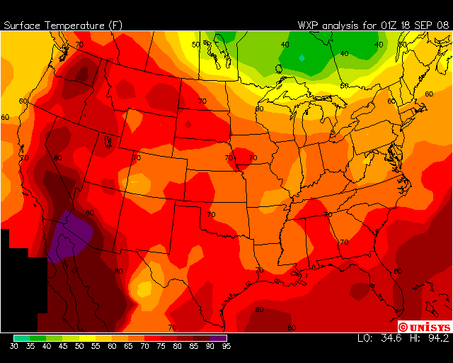
- US Temperature Contour or Alternate Site
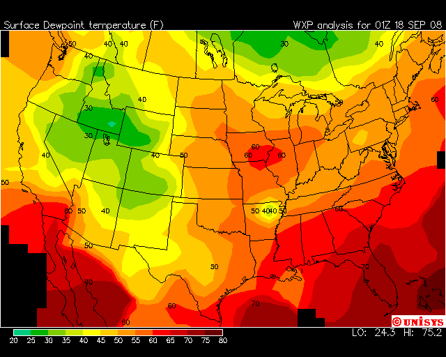
- US Dewpoint Contour or Alternate Site
- Upper-Air Skew-T Soundings for the US or for Mexico & the Caribbean (UWyoming), Alt. Site
- Skew-T's for North America (OSU) or Alt. Site (Unisys) or (UCAR)
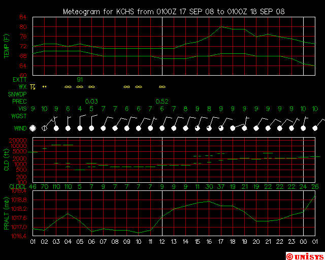
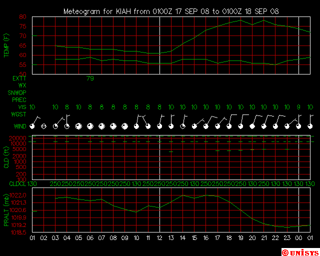
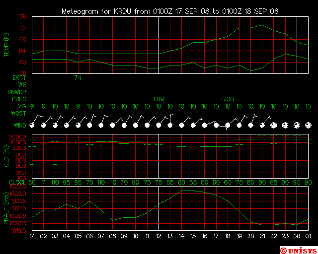
- Meteograms
If you are aware of any great sites that we are missing, or have any comments or suggestions about our site, please email us at hurricaneflags@yahoo.com.
- Atlantic Tropical Weather Center, Home Site
- Atlantic Tropical Weather Center, Page 2
- Atlantic Tropical Weather Center, Page 3
- Atlantic Tropical Weather Center, Page 4
- Atlantic Tropical Weather Center, Page 5
- Atlantic Tropical Weather Center, Page 6