  |
||
|
|
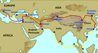
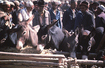
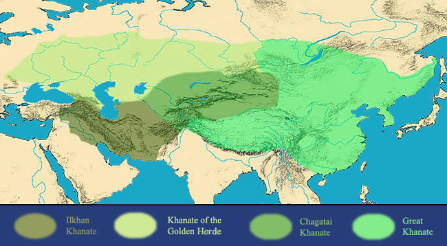
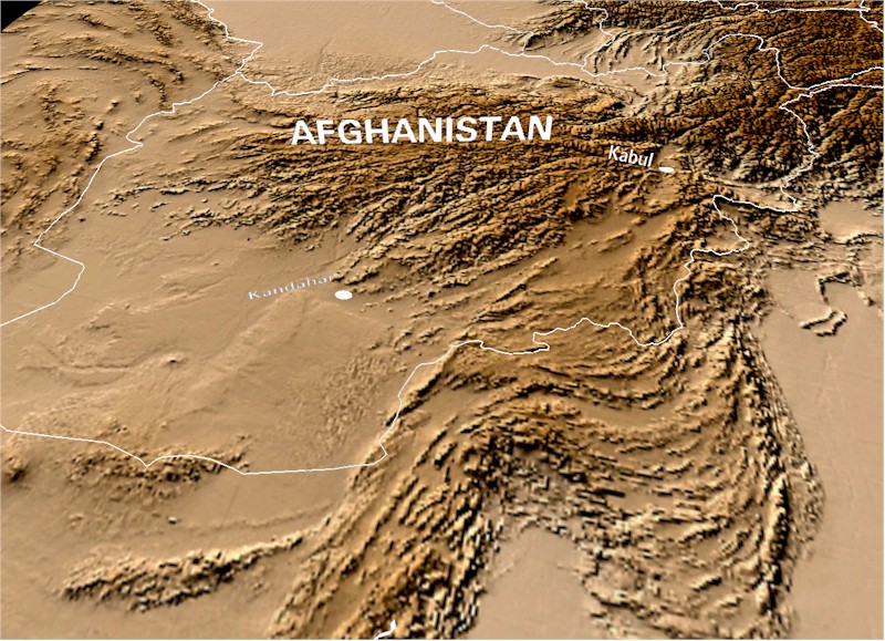
On the Road with Marco Polo—Curriculum Unit Overview—…to this day there has been no man, Christian or Pagan, Tartar or Indian, or of any race whatsoever, who has known or explored so many of the various parts of the world and of its great wonders as …Marco Polo. IntroductionIn the 13th century, a young Venetian named Marco Polo set out with his father and uncle on a great adventure. Following a series of trade routes, they traveled across the vast continent of Asia and became the first Europeans to visit the Chinese capital (modern Beijing). Marco so impressed the reigning emperor of China, Kublai Khan, that he was appointed to the imperial court. For the next 17 years, Marco was sent on missions to many parts of Kublai's sprawling empire. The Polos finally returned to Venice via the sea route. Marco later wrote a book about his experiences, which inspired new generations of explorers to travel to the exotic lands of the East.In this curriculum unit, students will become Marco Polo adventurers, following his route to and from China in order to learn about the geography, local products, culture, and fascinating sites of those regions. Students will record their "journey" by creating journal entries, postcards, posters, and maps related to the sites they explore. The EDSITEment Marco Polo Journey Map, with its guiding questions, may be used either as a culminating exercise or a method of reviewing previous lessons and introducing new ones. Guiding QuestionsWhat routes did Marco Polo follow to China and back?What sorts of natural environments did he travel through? What were the major products of the places he visited? Learning ObjectivesAfter completing this lesson, students will be able to:
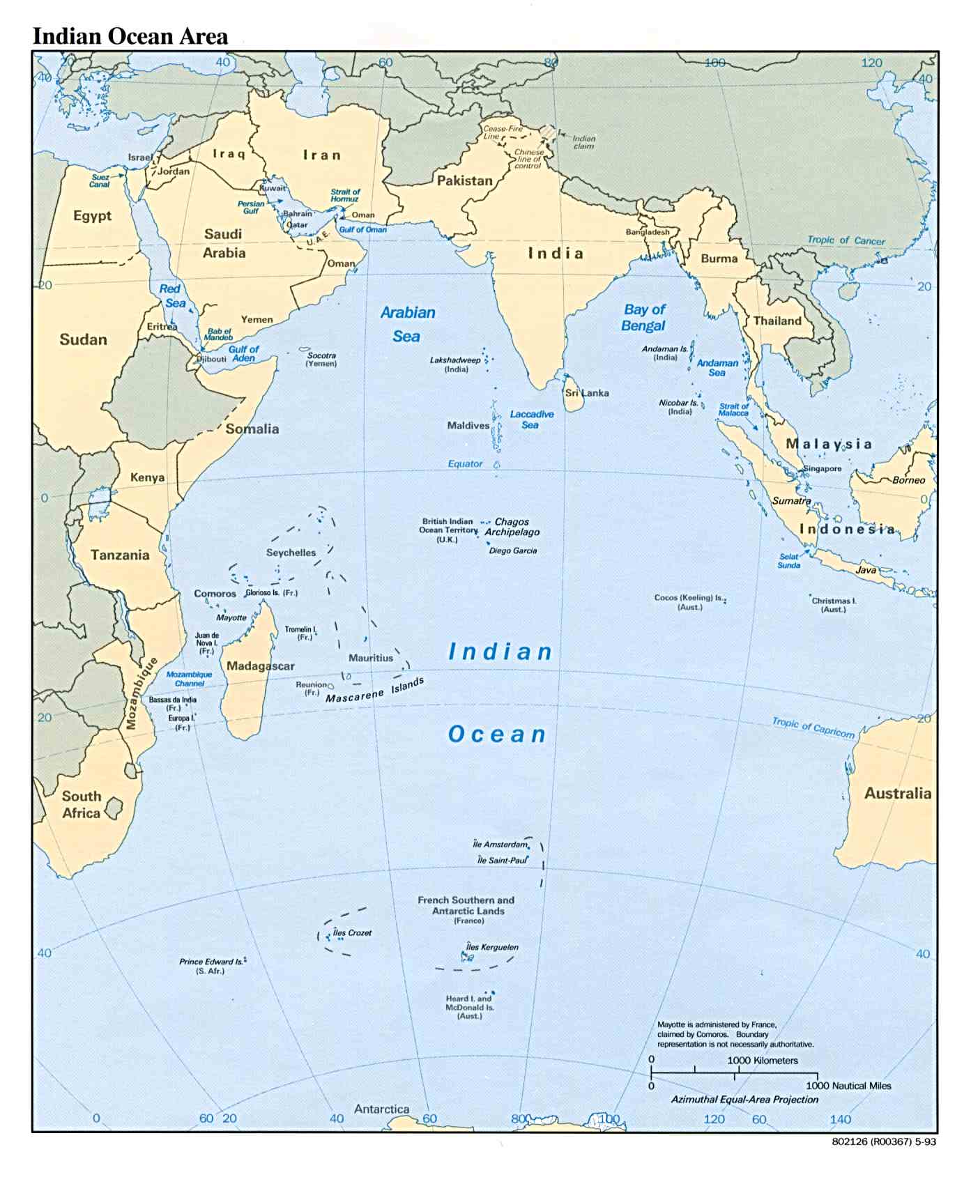
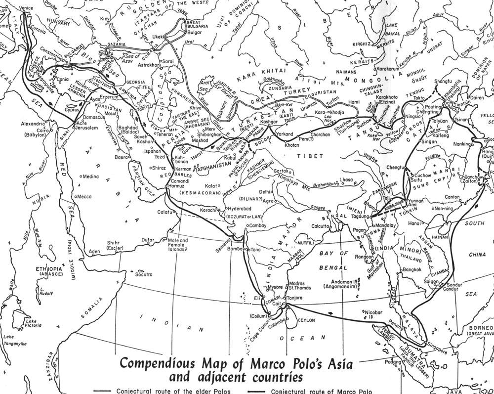
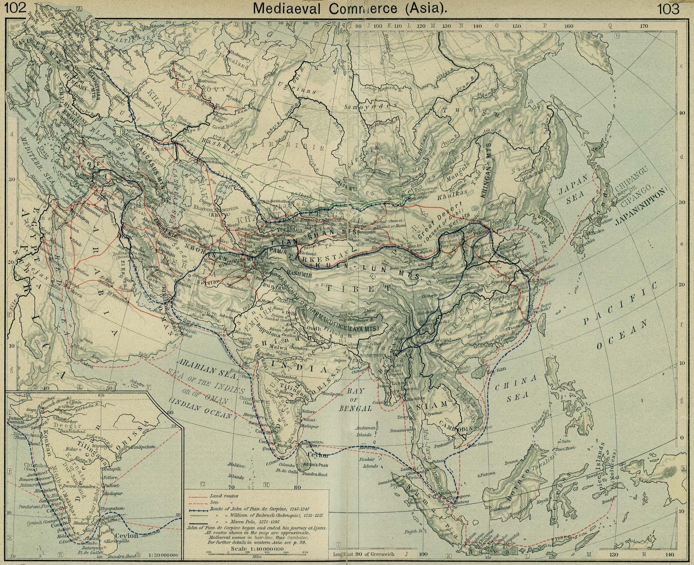
Preparing to teach this lessonRead through the entire lesson plan and become familiar with the content and resources. Bookmark relevant websites for later reference. Download and duplicate the map of China available through EDSITEment-reviewed resource Xpeditions for Activity 5 and the Map of the Indian Ocean Area available through EDSITEment-reviewed resource SARAI for Activity 6. It would be very helpful to have a large map of the world in your classroom as well as a set of atlases.As you progress through the lessons, you may want to speak to your students about the changing status of maps, and the various ways maps can be used to represent a geographic and political area. Since students may find themselves confused by the large number and types of maps in these lessons, you may want to pick one or two to serve as reference points against which other maps are compared (your classroom atlas or a large map of the world might be a good choice). A good online map to use as an overall guide is the Map of Marco Polo's Route available through EDSITEment-reviewed resource Asia Source Review the EDSITEment Marco Polo Interactive Map. You may use the map either as a culminating exercise or as a way of reviewing material from the previous day's lesson before introducing new material. Additional background materials can be viewed at the following websites:
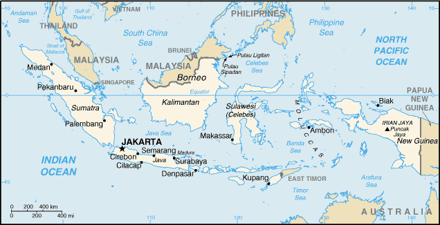
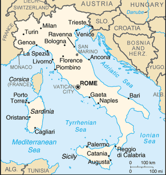
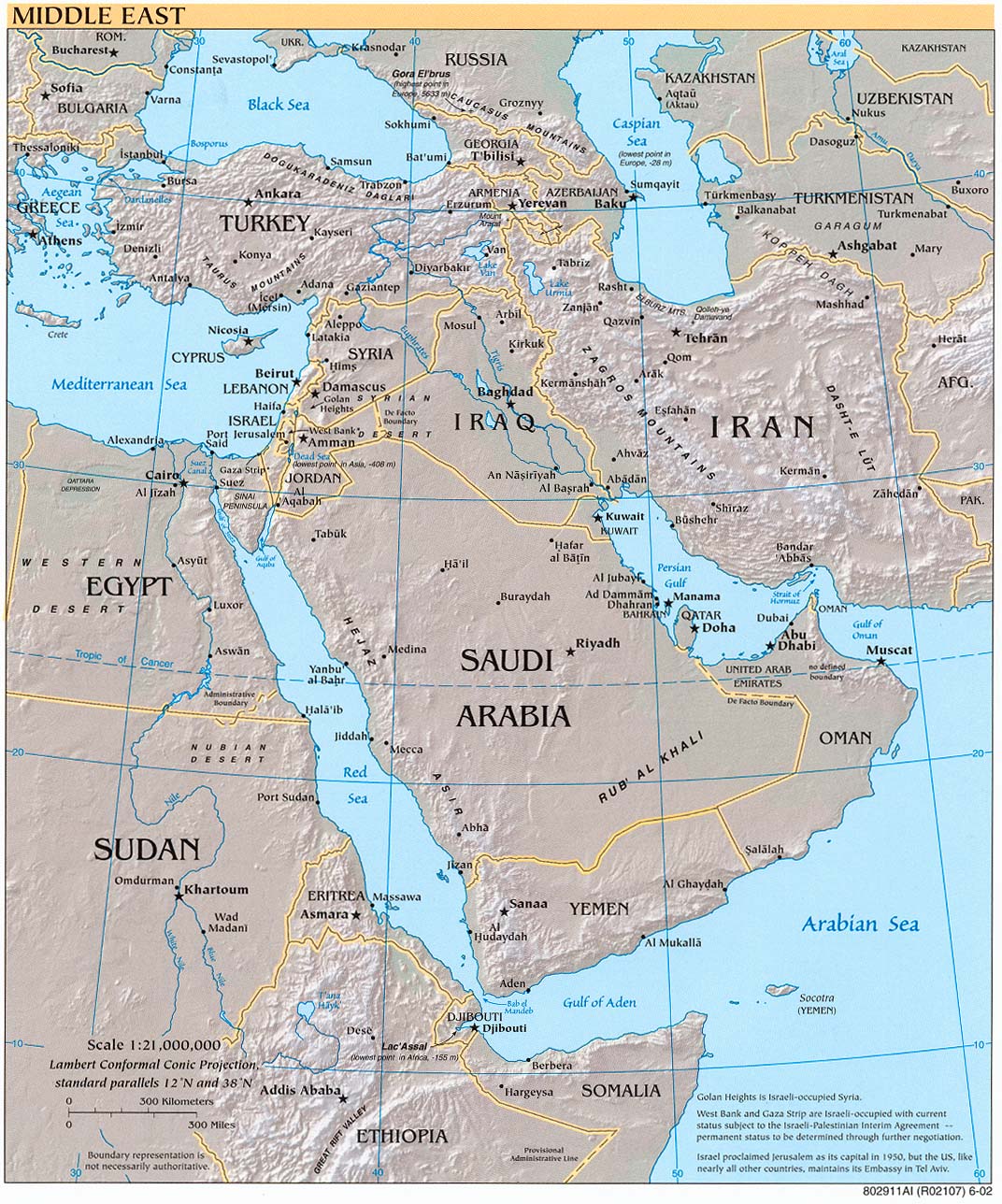
Unit Lesson Plans:Lesson 1: A Boy in 13th Century VeniceLesson 2: From Venice to HormuzLesson 3: From Hormuz to KashgarLesson 4: Crossing the Deserts of ChinaLesson 5: Marco Polo in ChinaLesson 6: Sea Voyage to IndiaLesson 7: From Hormuz to VeniceLesson 8:
Homecoming—Review of Marco Polo's Travels and
|
||||||||||||
  |
||
| EDSITEment contains a variety of links to other websites and references to resources available through government, nonprofit, and commercial entities. These links and references are provided solely for informational purposes and the convenience of the user. Their inclusion does not constitute an endorsement. For more information, please click the Disclaimer icon. | ||
| Disclaimer | Conditions of Use | Privacy Policy Search
| Site
Map | Contact
Us
| ||