|
Example Overflight Maps
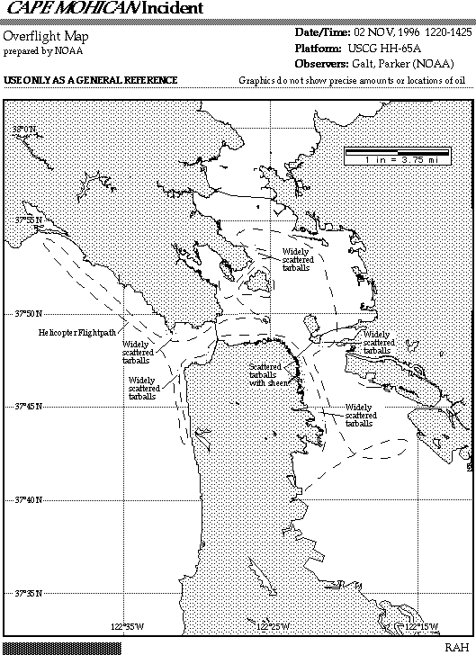
On October 28, 1996, the M/V Cape Mohican released about 2,000 barrels of Intermediate Fuel Oil (IFO-180) into Dry Dock #2 at the San Francisco Dry Dock Company in San Francisco. About 200 barrels of the oil overflowed the dry dock and entered the water.
At the request of the U.S. Coast Guard On-Scene Commander, NOAA's Office of Response and Restoration (OR&R) sent a team of scientists to aid in the spill response. One of the team's tasks was to overfly the affected area and prepare maps showing the locations of oil types, response vessels, and other important features.
Here are some of the overflight maps created by the team. (Click your browser's Back button to return to this page after viewing a map.)
Back to the main Oil Observation Job Aid page
|
|
|
|
