Local forecast by
"City, St" or zip code |
Search by city or zip code. Press enter or select the go button to submit request |
|
Current Conditions » Satellite Imagery
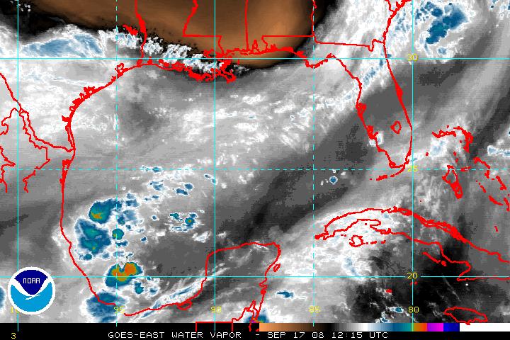
Tropical Atlantic
Basin
|
 |
Infrared (IR) | Visible (VIS)
| Water Vapor (WV)
IR loop
| VIS loop
| WV loop
|
|
|
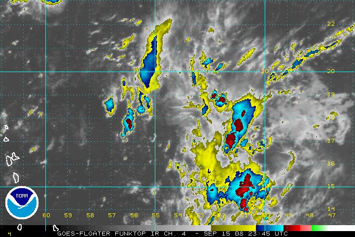
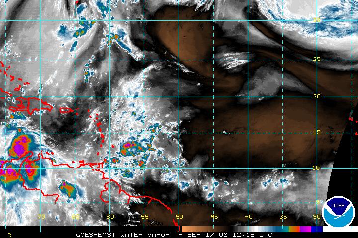
Tropical Floater #1
|
|
Tropical Floater #2
|
 |
|
 |
IR
| VIS
| WV
IR
loop | VIS
loop | WV
loop |
|
IR
| VIS
| WV
IR
loop | VIS
loop | WV
loop |
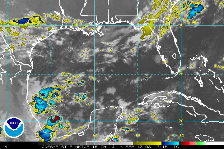
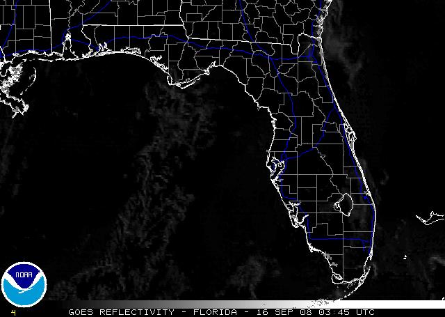
Florida
|
|
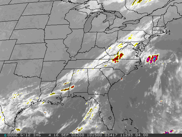
Eastern U.S.
|
 |
|
 |
IR | IR2 |
VIS |
Albedo
| Reflectivity
IR loop
| IR2
loop | VIS loop
| Alb
loop | Ref loop
|
|
IR | VIS | WV
|
Full Disk Imagery
|
|
Other Sectors
|
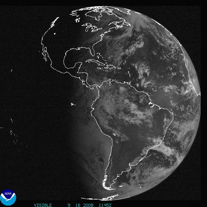
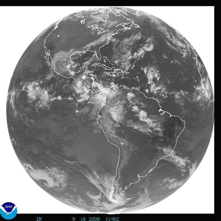
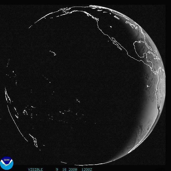
The Americas
VIS,
IR
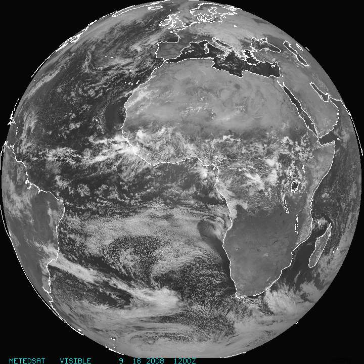
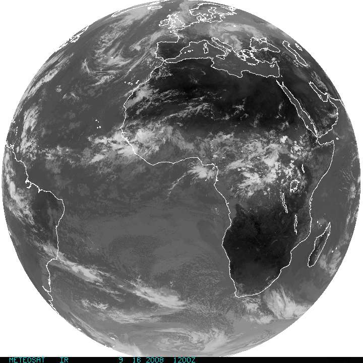
Europe/Africa VIS,
IR
Indian Ocean
VIS,
IR
Pacific
VIS,
IR
|
|
North America
VIS,
IR,
WV
Western U.S. VIS, IR, WV
Tropical Eastern Pacific
VIS,
IR,
WV
|
|
Custom High Resolution Satellite Imagery (courtesy of
NASA)
|
|
Visible |
Infrared
| Water
Vapor |
GOES Operational Status Bulletins
|
 National Weather Service Forecast Office


