
 |
 |
|
|
 |
 |
 |
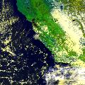 |
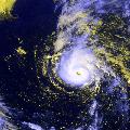
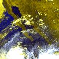
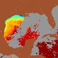
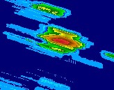
| GOES East | GOES West | GOES SST | AVHRR |
| FTP GOES Data | FTP GOES Data | FTP SST Data and Metadata | FTP AVHRR Data |
 |
 |
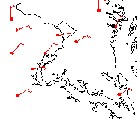 |
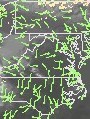
| GOES Winds | TRaP | Surface Data |
| FTP Winds Data and Metadata | FTP TRaP Data | FTP Surface Data |
| GOES | SST | AVHRR/Polar | Winds | TRaP | Precipitation Products | Surface Data | Satellite Information |
|
Contact Information: |
||
|
You are Here: http://www.gis.ssd.nesdis.noaa.gov/index.html
|