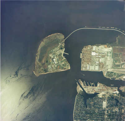
 One of the Aerial photos taken during assessment of Hurricane Georges near Pascagoula, Mississippi. This was a first attempt at using NOAA Office of Aircraft Operations capabilities to capture high resolution photographs following extreme events. These photographs are being further examined to assess the utility of using such platforms for determining wind and inundation effects, immediately following tropical cyclones. |