Skip Navigation Links
NOAA logo - Click to go to the NOAA homepage National Weather Service Forecast Office   NWS logo - Click to go to the NWS homepage
National Weather Service Forecast Office, Jacksonville, Florida


NWS Jacksonville Home » Satellite Data

 Create Your Own Satellite Pictures
(Courtesy of NASA's Global Hydrology & Climate Center.)

Make the following selections and click on "Go!" to create a satellite picture or loop...

Type: Area: Frames:

Enhancement: Map:


- OR -

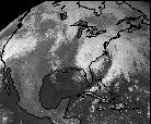
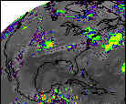
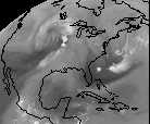
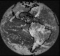
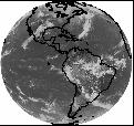
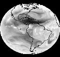
Select a weather satellite thumbnail image to view data from that sensor...

North America Imagery (GOES-8)
GOES-8 CONUS Visible icon
1 km Visible
GOES-8 CONUS Infrared icon
Infrared
GOES-8 CONUS Water Vapor icon
Water Vapor

North and South America, Atlantic, and East Pacific Imagery (GOES-8)
GOES-8 Visible icon
Visible
GOES-8 Infrared icon
Infrared
GOES-8 Water Vapor icon
Water Vapor

GOES weather satellite images courtesy of the Global Hydrology and Climate Center and the NASA Ames Research Center with reprocessing performed at NASA Marshall Space Flight Center Global Hydrology and Climate Center in Huntsville Alabama.

Also visit the Geostationary Satellite Server.

Satellite focal point Questions about satellite meteorology?
Send e-mail to Andrew Shashy.