Local forecast by
Search by city or zip code. Press enter or select the go button to submit request
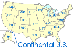
National:
-Select Type-
Visible
Visible (Loop)
Infrared
Infrared (Loop)
Water Vapor
Water Vapor
Regional:
-Select Type-
Visible
Visible (Loop)
Infrared
Infrared (Loop)
Water Vapor
Water Vapor
Other Links: Day1
| Day
2 | Day
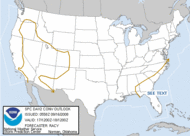
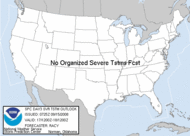
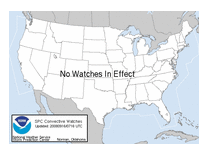
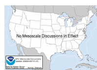
3 SPC Watches SPC Mesoscale Discussions SPC composite map
SPC National Maps:
-Thermodynamic-
SBCAPE
100mb
MLCAPE
MUCAPE
/ LPL Height
SB
Lifted Index
Mid
Level Lapse Rates
Low
Level Lapse Rates
Normalized
CAPE
Downdraft
CAPE
LFC
Height
LCL
Height
LCL-LFC
RH
-Wind Shear-
850-300mb
mean wind
0-6km
Shear Vector
0-8km
Shear Vector
Effective
Shear
BRN
Shear
0-1km
SR Helicity
0-3km
SR Helicity
Effective
SR Helicity
0-1km
Shear Vector
850
& 500 mb Winds
-Composite Indices-
Supercell
Composite
Supercell
Composite (left-moving)
Sig.
Tornado (fixed layer)
Sig.
Tornado (effective layer)
Sig.
Hail Parameter
Derecho
Composite
Craven/Brooks
SigSvr
3km
EHI
1km
EHI
3km
VGP
MCS
maintenance
-Multi-Parameter Fields-
MUCAPE
/ eff. bulk shear
MULI
/ 850 and 500 mb winds
LCL
hght / 0-1 km SRH
0-3
km LR / 0-3 km MLCAPE
3km
Cape & Sfc Vort
sfc
dewpoint / 700-500 mb LR
Hail
Parameters
-Heavy Rainfall-
Precipitable
Water
850
mb Moisture Transport
Upwind
Propagation Vector
-Winter Weather-
Surface
Wet Bulb Temperature
Freezing
Level Info.
Critical
Thickness
800-750mb
EPVg
650-500mb
EPVg
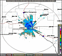
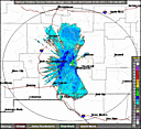
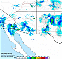
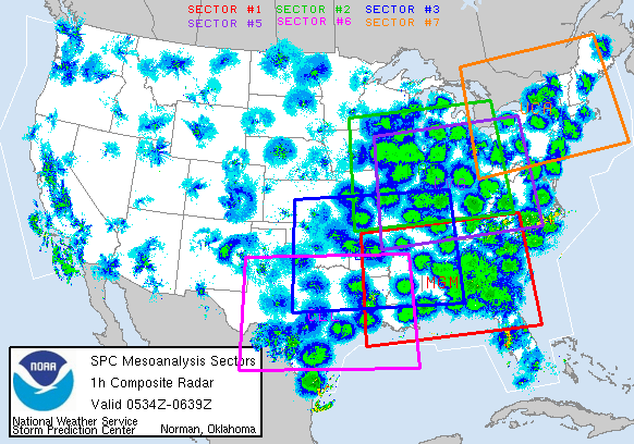
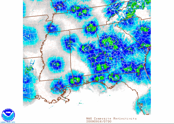
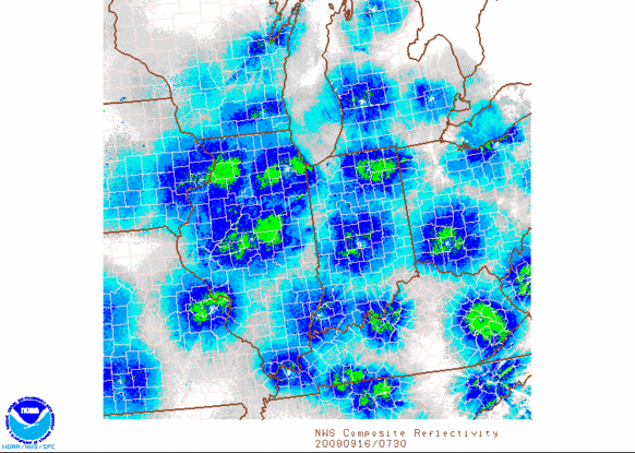
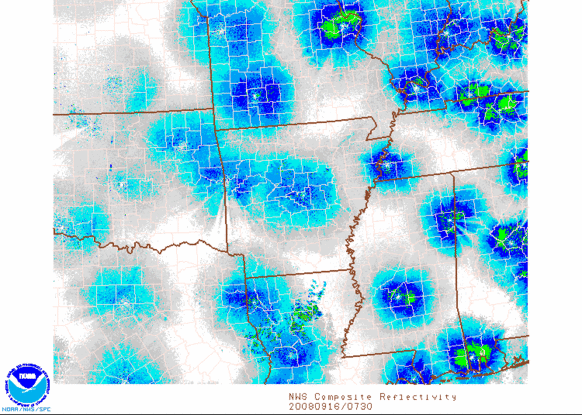
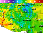
SPC Mesoanalysis Sectors: (higher-resolution versions of National Maps)
Forecasted/Observed River Stages:
Gila River
-Gila
River at a Glance
-near
Gila
-near
Redrock
-near
Virden
Rio Grande
-Rio
Grande at a Glance
-near
Caballo
-at
Leasburg Dam
-near
Mesilla
-near
El Paso
-near
Fort Quitman
Mimbres River
-Mimbres
River at a Glance
-near
Mimbres
Tularosa Creek
-Tularosa
Creek at a Glance
-near
Bent
Main El Paso NWS River Page: River & Lake
AHPS
Local Data:
Main
EPZ Climate Page El Paso Normals:
-Select Month-
January
February
March
April
May
June
July
August
September
October
November
December
El Paso Temp Records:
-Select Month-
January
February
March
April
May
June
July
August
September
October
November
December
Most Recent El Paso NWS Climate Products:
-Select Product-
Daily
Climate Report
Monthly
Climate Report
NM
State Summary
TX
State Summary
El
Paso Prelim Cli Data
Deming
Prelim Cli Data
T
or C Prelim Cli Data
Silver
City Prelim Cli Data
Ruidoso
Prelim Cli Data
Alamogordo
Prelim Cli Data
Las
Cruces Prelim Cli Data
here
Full
text product page
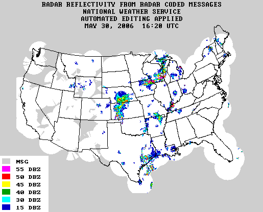
NCEP Model Analyses
and Forecasts page SPC SREF Page
HPC Home Page
HPC Rainfall Page
Climate Prediction Center (CPC) Outlooks:
-Select One-
6-10
Day Temp
6-10
Day Precip
6-10
Day Text
8-14
Day Temp
8-14
Day Precip
8-14
Day Text
Monthly
Monthly
Text
Seasonal
CPC Home Page


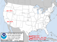 Day
1 Outlook
Day
1 Outlook![[Color]](https://webarchive.library.unt.edu/eot2008/20080917070940/http://www.hpc.ncep.noaa.gov/sfc/namussfcwbg.gif)
![[B/W]](https://webarchive.library.unt.edu/eot2008/20080917070940/http://www.hpc.ncep.noaa.gov/sfc/namussfcbw.gif)
![[Color]](https://webarchive.library.unt.edu/eot2008/20080917070940/http://www.hpc.ncep.noaa.gov/sfc/usfntsfcwbg.gif)
![[B/W]](https://webarchive.library.unt.edu/eot2008/20080917070940/http://www.hpc.ncep.noaa.gov/sfc/usfntsfcbw.gif)