|
The Fierce
Winds Slams into Eastern Washington on June 21, 2005
During the evening of Tuesday
June 21, a pair of thunderstorm complexes traveled across extreme eastern Washington.
What made these thunderstorms so unusually was not the rain or hail they contained,
but the fierce winds they produced. The outflow from these high based thunderstorms
measured over 60kts from the NWS Doppler weather radar. As the storm traveled
over the Columbia Basin and the Palouse, the winds pick up dust, dirt and sand
producing a black back drop of the approaching storm.
Here are some top wind reports
from that evening...
THE 77 MPH GUST AT THE SPOKANE
INTL AIRPORT IS A NEW OFFICIAL MAXIMUM
RECORD GUST. THE OLD RECORD WAS SET IN JANUARY 9 1972 WITH A SPEED
OF 67 MPH.
| SPOKANE INTL AIRPORT
(ASOS) |
77 MPH |
623PM |
| NATIONAL WEATHER SERVICE-SPOKANE |
58 MPH |
624PM |
| ESCURE (RAWS) |
61 MPH |
820PM |
| OTIS ORCHARDS (SPOTTER) |
66 MPH |
825PM |
| RALSTON (SPOTTER) |
30 MPH |
443PM |
| SPOKANE (SPOTTER) |
28 MPH |
735PM |
| FISH LAKE (SPOTTER) |
50+MPH |
645PM |
| PLAIN (SPOTTER) |
30 MPH |
500PM |
| RITZVILLE (SPOTTER)
|
50 MPH |
730PM |
| FAIRCHILD AFB |
56 MPH |
526PM |
| MOSES LAKE (ASOS) |
40 MPH |
753PM |
| COEUR D`ALENE (SPOTTER) |
40 MPH |
730PM |
The view from the Spokane
NWS office of round one of the wind storm, roughly at 630 pm. The Spokane Airport
reports winds up to 77 mph.
The view from the Spokane
NWS office of round two of the wind storm, roughly at 830 pm. The Spokane Airport
reports winds up to 49 mph.
Other damage
 Large
street sign down on Highway 2 (2E Airway Heights) Large
street sign down on Highway 2 (2E Airway Heights)
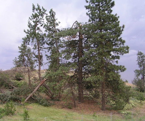
 Large
tree limb down 3NE Airway Heights Large
tree limb down 3NE Airway Heights
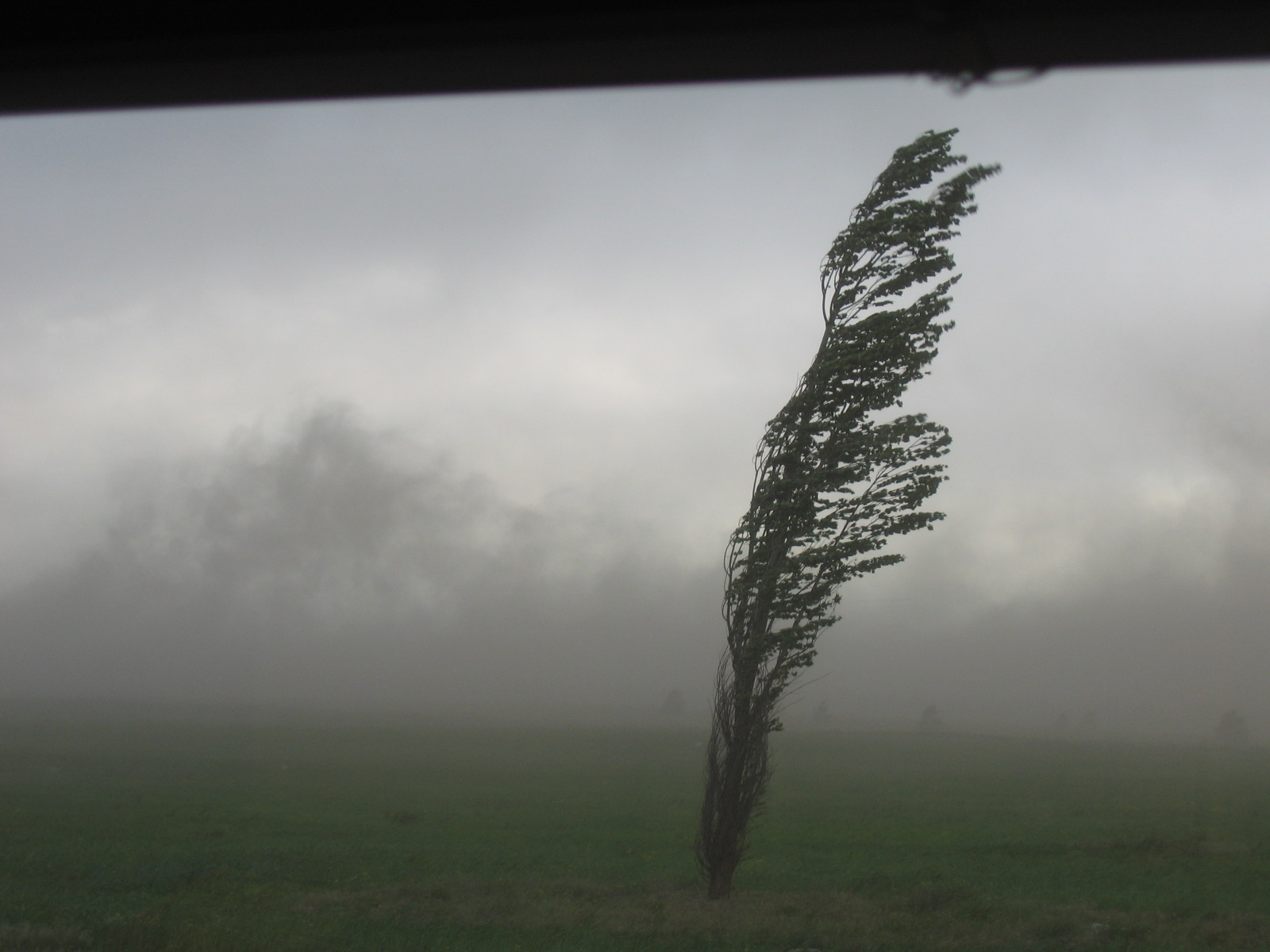
 Large
tree top down 4 ENE Airway Heights. Large
tree top down 4 ENE Airway Heights.
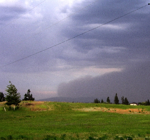 Approaching
dust cloud looking northeast at Mt. Spokane (round #2) from 4NE Airway Heights. Approaching
dust cloud looking northeast at Mt. Spokane (round #2) from 4NE Airway Heights.
|