Jan 10, 2007
Heavy Snow Event of January
10, 2007
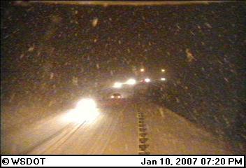
A very localized snowstorm took place near the Spokane metro area on the evening of January 10th. Snow rates of 2-3"/hour were observed in some of the convective bands.
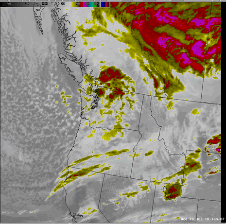
An infrared satellite loop of the event shows how the storm moved into the area from western Washington. As it crossed the Cascade mountains it lost some of its organization, but redeveloped over eastern Washington. Instead of continuing its eastward progression, the storm stopped and remained stationary for several hours during the night.
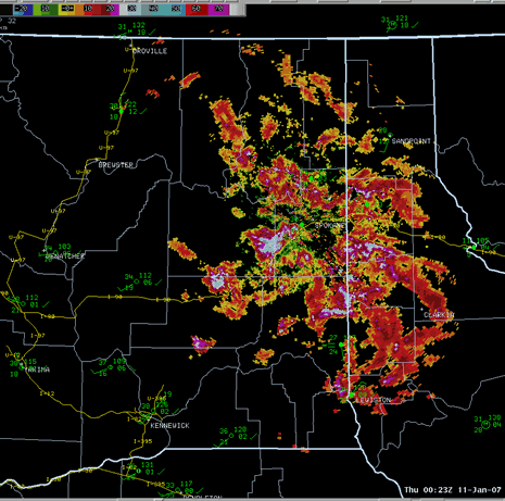
A loop of the Spokane radar shows
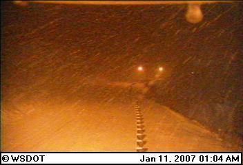
the evolution of this storm. On the afternoon of the 10th (start of the loop), scattered snow showers were spread over northeast Washington. During the evening, these showers became organized into more intense bands. The lack of movement of some of these bands resulted in snow accumulations of around 3" in just over an hour. As the evening approached midnight, a deformation band of snow developed on the northern side of the storm. A few hours later, the arctic air mass moving down from the north was able to finally push this storm to the south as it weakened.
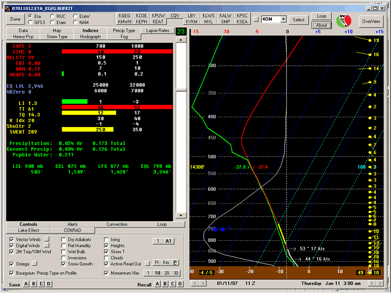
The forecast sounding from the WRF model shows a very unstable atmosphere. Similar to the snow event over the Palouse on 4 Jan 07, the maximum omega (upward motion) was located in the lower levels, near the dendritic layer (yellow portion of the sounding). This favored the formation of the fluffy dendrite snow crystals. Snow ratios with this event were very high. A 25 to 1 ratio was measured at the NWS office with 6.6" of snow and only 0.29" of liquid.
However, unlike the Palouse event during the previous week, this event featured much more convective precipitation from the models. In the Palouse event, the vast majority of the precipitation in the models was generated by the stable stratiform scheme. In this event, more than 50% of the precipitation was from the convective scheme.
The map below shows the snow reports from the overnight event. Obviously this was a fairly localized event with some rather sharp gradients in the snow accumulation. The northwest side of the Spokane metro area picked up 4-6", while over southern Spokane only 1-2" were observed.

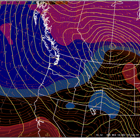
The 500mb height and vorticty loop below shows a deep cold trough digging over the area.
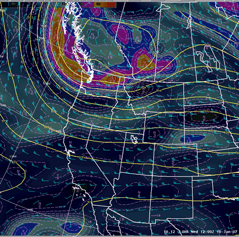
At 850mb, the start of the loop on the morning of the 10th shows a deep low over the Dakotas that had moved through the area the previous day. A Pacific cold front extended from this low southwestward to California. Meanwhile, Arctic air was poised to move into the area from Canada. As the day progressed, the arctic air moved southward slowly but was hung up while the aforemention low spun up over the area. Eventually the 850mb front moved south of the US/Canadian border and pushed the low southward into Oregon. The radar loop above shows the east-west deformation band which formed along the arctic front. As this deformation band moved through Spokane, the winds shifted and increased from the northeast, marking the passage of the arctic front.
Conclusions
- The atmosphere behind the previous day's cold front was very unstable.
- A small scale short wave moved into the area from western Washington initiating convective snow showers.
- The arctic front moving down from the north helped to organize the convection into a deformation band which moved through the area around midnight.
- Snow ratios around 25:1 were common with the very fluffy nature of the convective snow.
|