Natural Hazards
|
“Hurricanes Katrina, Rita, and now Wilma have given us all a lesson about the destructive force of natural hazards. We are fortunate that all USGS employees are safe. USGS is committed to rapidly providing our scientific expertise for the recovery efforts, this is not only a scientific endeavor, but a matter of public safety and public health.” P. Patrick Leahy |
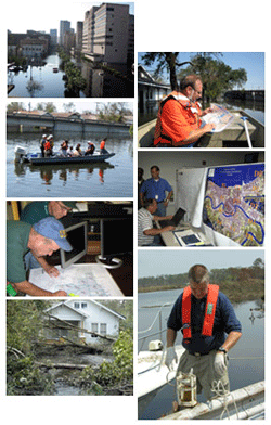
The U.S. Geological Survey continues to mobilize equipment and personnel to gather the scientific data and information on the impact of Hurricanes Katrina, Rita, and Wilma.
USGS scientists will be:
Coastal Impacts
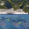 |
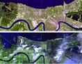
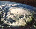
Satellite Imagery and other Geospatial Data
News Releases
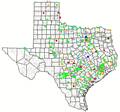
Monitor Streamflow Conditions as Hurricane Rita Moves Inland
 |
|
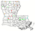 |
Louisiana
|
Publications
Additional USGS Hurricane Information
 |
Federal Resources
 |

![]() U.S. Department of the Interior |
U.S. Geological Survey
U.S. Department of the Interior |
U.S. Geological Survey
URL: http://www.usgs.gov/hazards/hurricanes/kat_rit_wil/default.asp
Page Contact Information: Ask USGS
Page Last Modified: Friday, August 29, 2008