Skip Navigation Linkswww.weather.gov 
NOAA logo - Click to go to the NOAA homepage National Weather Service Forecast Office   NWS logo - Click to go to the NWS homepage    
Las Vegas, Nevada
navigation bar decoration    
 
 
Current Hazards
 
 
Current Conditions


Forecasts


Climate


Weather Safety


Miscellaneous


NWS Las Vegas


Contact Us


Monsoon tracking page for Southern Nevada

NOTE: Much of this material was adapted from work originating at WFO Tucson


Monsoon Statistics What is the Monsoon? Tracking the Monsoon

Tracking the Monsoon

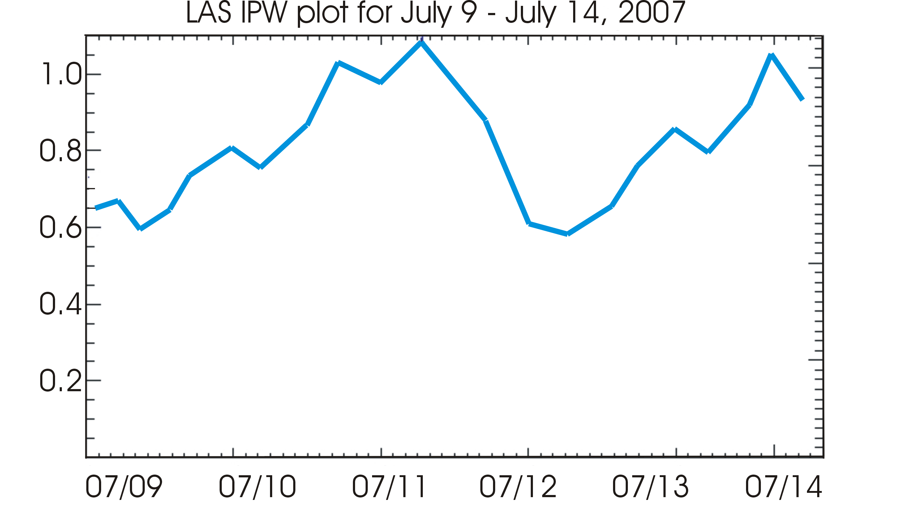
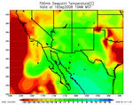
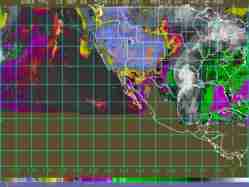
GPS Precipitable Water Vapor (info) Model 700 mb Dewpoint (info) Satellite Precipitable Water Imagery (info)
Station precipitable water image 700 mb moisture image from the latest RUC model run Latest precipitable water imagery
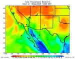
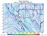
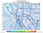
Model Precipitable Water (info) Model 700 mb Winds (info) Model 500 mb Winds (info)
Model precipitable water  image from the latest RUC model run 700 mb wind  image from the latest RUC model run 500 mb wind  image from the latest RUC model run
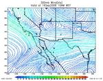
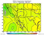
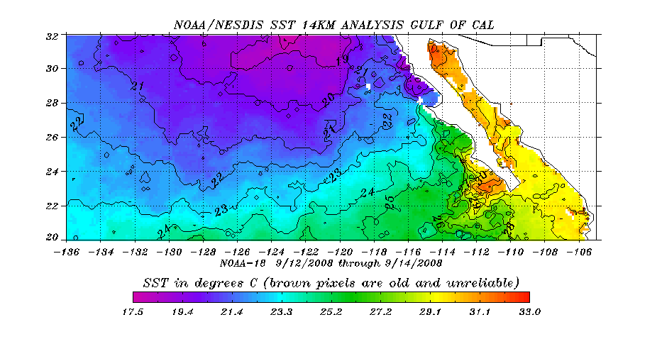
Model 300 mb Winds (info) Model 500 mb Heights (info) Gulf of California Sea Surface Temperatures (info)
300 mb wind  image from the latest RUC model run 500 mb geopotential height image from the latest RUC model run Latest satellite sea surface temperatures of Gulf of California
Satellite Water Vapor Imagery (info) Past 1 hour estimated rainfall total from radar (info) Past 3 hour estimated rainfall total from radar
Latest water vapor imagery 1 hour estimated rainfall total from radar 3 hour estimated rainfall total from radar
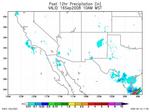
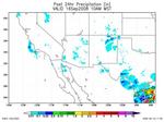
Past 6 hour estimated rainfall total from radar Past 12 hour estimated rainfall total from radar Past 24 hour estimated rainfall total from radar
6 hour estimated rainfall total from radar 12 hour estimated rainfall total from radar 24 hour estimated rainfall total from radar
 
Upper Air Plots (info) Rainfall data
Tucson Phoenix
Flagstaff Desert Rock
Albuquerque El Paso
   
Clark county Other Regional Systems
Las Vegas Valley Mohave County
Clark County Sectors Data courtesy of Arizona Department of Water Resources and the U.S. Bureau of Reclamation
Clark and Mohave County Maps Nevada 24hr precipitaion map
Data courtesy of Clark County Regional Flood Control District S. California 24hr precipitation map.

Webmaster
US Dept of Commerce
National Oceanic and Atmospheric Administration
National Weather Service
Las Vegas Weather Forecast Office
7851 S Dean Martin Dr.
Las Vegas, NV 89139-6628

Tel: (702) 263-9744

Disclaimer
Information Quality
Credits
Glossary
Privacy Policy
Freedom of Information Act
About Us
Career Opportunities

National Weather Service Mission: "The National Weather Service (NWS) provides weather, hydrologic, and climate forecasts and warnings for the United States, its territories, adjacent waters and ocean areas, for the protection of life and property and the enhancement of the national economy. NWS data and products form a national information database and infrastructure which can be used by other governmental agencies, the private sector, the public, and the global community."