Most Popular Links
Snow Conditions
with measurements made by Cooperating Agencies based on the Measurement Schedule. The schedule contains
information about California's 265 active snow courses and 117 active snow sensors which measure water content
of the snow pack.
Snow Course Information
- Monthly snow course report: Latest | Previous (produced around the first of January | February | March | April | May | June)
- Snapshot of pending monthly snow course data
- Individual snow course historical data
- List of active snow courses sorted by basin | alphabetically
- Description of a snow survey
Snow Sensor Information
- Daily Summary of snow water equivalents at automatic snow sensor locations: Latest | Previous
- Statewide summary of snow water equivalents: Latest | Previous
- Daily summary of snow depth at automatic snow depth locations: Latest | Previous
- Daily regional snowpack plots from snow sensors: Current | Previous
- Snow sensor control (field verification) measurements: Current | Previous
- Latest Real-time Snow Water Content Data or narrow by River Basin
- Individual snow sensor historical data
- List of active snow sensors sorted by basin
- Relationship between snow water content and snow depth
- Photo of a snow sensor "pillow"
- Peak snowmelt forecast
- Rain and Snowmelt Guidance Plots issued jointly with the NWS California-Nevada River Forecast Center
Other Snow Information
- Daily Lahontan Region SNOTEL report from Natural Resources Conservation Service (NRCS): Latest | Previous
- Individual SNOTEL historical data
- Satellite based snow maps from National Operational Hydrologic Remote Sensing Center
- Seasonal snowmelt runoff forecasts
- Bulletin 120 "Water Conditions in California" archives
- Western Snow Conference
- Avalanche bulletins from the CSAC
- Road conditions
Snow Sensor Plots
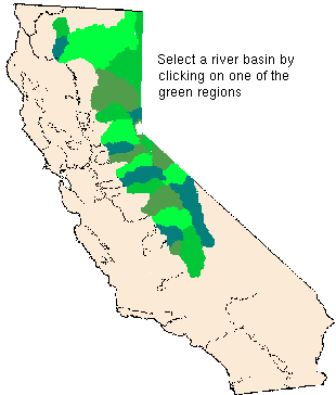
Select a river basin using these links or the map below for 14 day plots of snow water content & precipitation:- North Coast Region: Trinity & Scott Rivers | Eel River Area
- Sacramento River Region: Sacramento River above Lake Shasta | Feather River | Yuba & American Rivers
- San Joaquin River Region: Mokelumne & Stanislaus Rivers | Tuolumne & Merced Rivers | San Joaquin River
- Tulare Region: Kings River | Kaweah & Tule Rivers | Kern River
- Lahontan Regions: Surprise Valley Area | Truckee River below Lake Tahoe | Lake Tahoe Basin | Carson & Walker Rivers | Mono & Owens Lake Basins
![]() California Cooperative Snow Surveys
California Cooperative Snow Surveys