Skip Navigation Links weather.gov 
NOAA logo-Select to go to the NOAA homepage NOAA's National Weather Service   Select to go to the NWS homepage
Storm Prediction Center
navigation bar left  
  navigation bar end cap


USA.gov is the U.S. Government's official Web portal to all Federal, state and local government Web resources and services.

Aug 25, 2009 0730 UTC Day 3 Severe Thunderstorm Outlook
Updated: Tue Aug 25 07:06:46 UTC 2009  (Print Version)
Probabilistic to Categorical Outlook Conversion Table (Effective Feb 14, 2006).
  |  
SPC Day 3 0730Z Categorical Outlook SPC Day 3 0730Z Categorical Outlook Legend
 Forecast Discussion
   SPC AC 250703
   
   DAY 3 CONVECTIVE OUTLOOK  
   NWS STORM PREDICTION CENTER NORMAN OK
   0203 AM CDT TUE AUG 25 2009
   
   VALID 271200Z - 281200Z
   
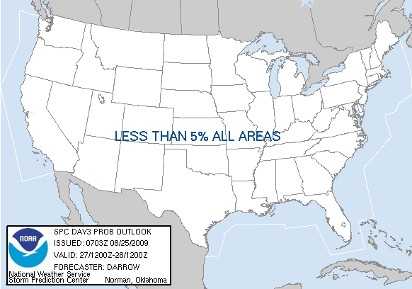
   ...NO SVR TSTM AREAS FORECAST...
   
   ...SYNOPSIS...
   
   DURING THE DAY3 PERIOD THE GREATEST CONCENTRATION OF DEEP CONVECTION
   WILL CONGREGATE FROM THE SRN ROCKIES...NEWD INTO THE MID MS
   VALLEY...AND ACROSS PORTIONS OF THE SERN U.S.  BOTH OF THESE AREAS
   WILL REMAIN SUFFICIENTLY MOIST/BUOYANT FOR THUNDERSTORM
   DEVELOPMENT...MAINLY DURING THE AFTERNOON/EVENING HOURS...WITHIN AN
   OTHERWISE WEAK FLOW REGIME.  IN THE ABSENCE OF STRONGER FLOW
   ALOFT...OR PERHAPS STEEPER LAPSE RATES...IT APPEARS THE THREAT FOR
   ORGANIZED SEVERE THUNDERSTORMS WILL REMAIN QUITE LOW.
   
   ..DARROW.. 08/25/2009
   
   CLICK TO GET WUUS03 PTSDY3 PRODUCT

   NOTE: THE NEXT DAY 3 OUTLOOK IS SCHEDULED BY 0730Z

        
Top/Latest Day 1 Outlook/Today's Outlooks/Forecast Products/Home
Weather Topics:
Watches, Mesoscale Discussions, Outlooks, Fire Weather, All Products, Contact Us

NOAA / National Weather Service
National Centers for Environmental Prediction
Storm Prediction Center
120 David L. Boren Blvd.
Norman, OK 73072 U.S.A.
spc.feedback@noaa.gov
Page last modified: August 25, 2009
Disclaimer
Information Quality
Credits
Glossary
Privacy Policy
Freedom of Information Act (FOIA)
About Us
Career Opportunities