|
Day 4-8 Convective Outlook Issued on Aug 25, 2009
Updated: Tue Aug 25 08:30:05 UTC 2009
| D4 | Fri, Aug 28, 2009 - Sat, Aug 29, 2009 |
D7 | Mon, Aug 31, 2009 - Tue, Sep 01, 2009 |
| D5 | Sat, Aug 29, 2009 - Sun, Aug 30, 2009 |
D8 | Tue, Sep 01, 2009 - Wed, Sep 02, 2009 |
| D6 | Sun, Aug 30, 2009 - Mon, Aug 31, 2009 |
(All days are valid from 12 UTC - 12 UTC) |
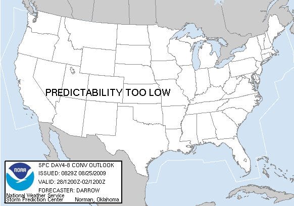
Note: A severe weather
area depicted in the Day 4-8 period indicates a 30% or higher probability
for severe thunderstorms within 25 miles of any point.
PREDICTABILITY TOO LOW means severe storms are possible.
However, no severe weather areas are included as the severe threat is
less than 30% due to expected limited coverage or uncertainty on the
timing and location of such an event.
POTENTIAL TOO LOW is used when the threat for organized areas
of severe storms appears highly unlikely during the entire period.
   ZCZC SPCSWOD48 ALL
   ACUS48 KWNS 250829
   SPC AC 250829

   DAY 4-8 CONVECTIVE OUTLOOK
   NWS STORM PREDICTION CENTER NORMAN OK
   0329 AM CDT TUE AUG 25 2009

   VALID 281200Z - 021200Z

   ...DISCUSSION...

   LATEST MEDIUM RANGE MODEL GUIDANCE SUGGESTS TROUGHING MAY BECOME
   MORE ESTABLISHED ACROSS THE ERN U.S. BY THIS WEEKEND...LEADING INTO
   EARLY NEXT WEEK.  IF THIS EVOLUTION OCCURS STRONGER FLOW WOULD ONCE
   AGAIN DROP SOUTH ACROSS MUCH OF THE CONUS EAST OF THE ROCKIES
   ENHANCING THE LIKELIHOOD FOR ORGANIZED THUNDERSTORMS.  AT THIS TIME
   THERE IS TOO MUCH UNCERTAINTY REGARDING BUOYANCY AND POTENTIAL
   CONVECTIVE FEEDBACK PRIOR TO STRENGTHENING WIND FIELDS.

   ..DARROW.. 08/25/2009

   CLICK TO GET WUUS48 PTSD48 PRODUCT
|
|