
Forecast Trajectory MapsTransport Modeling & Assessment Group - Silver Spring, MDThe Air Resources Laboratory of NOAA routinely produces trajectory forecasts for certain parts of the country to support air quality forecasting and the AIRMoN program. Below are the current areas for which trajectories are being produced. The forecasts can be viewed by choosing a highlighted region of the country or from the pulldown menus. Choose a location from the regional pulldown menus. 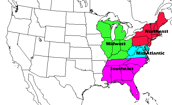 AIRMoN | Northeast U.S. | Southeast U.S. | Mid-Atlantic| Midwest |