


 Soil Water and Temperature System (SWATS)
Instrument Categories: Surface/Subsurface Properties
General Overview
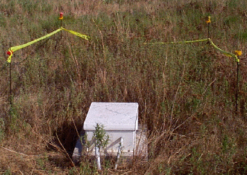
The Soil Water And Temperature System (SWATS) is designed to provide information about the temperature of the soil and the status of water in the soil profile. Sensors installed at various depths below the soil surface provide hourly measurements of soil temperature and estimates of soil-water potential and volumetric water content. SWATS systems are installed at 21 of the ARM SGP CART Extended Facilities (EFs). The SWATS instrument system is comprised of 16 sensors: eight sensors located at different depths in the soil profile, replicated in two profiles.
Primary Measurements Taken
The following measurements are those considered scientifically relevant. Refer to the netCDF File Header Descriptions (Data Object Design Files) for the list of all available measurements, including those recorded for diagnostic or quality assurance purposes.
Available Datastreams
- swats - Soil Water and Temperature Profiling System (SWATS): soil temp & water profiles
- swatspcp - Soil Water and Temperature Profiling System Rain Gauges (SWATSPCP)
Sites / Facilities
Note: Click the "![]() " to expand/collapse the list.
" to expand/collapse the list.
- Southern Great Plains (SGP)
- Ashton, KS (E9)
- Byron, OK (E11)
- Coldwater, KS (E8)
- Cordell, OK (E22)
- Cyril, OK (E24)
- Earlsboro, OK (E27)
- El Reno, OK (E19)
- Elk Falls, KS (E7)
- Halstead, KS (E5)
- Hillsboro, KS (Extended) (E2)
- Lamont, OK (Extended) (E13)
- Larned, KS (E1)
- LeRoy, KS (E3)
- Meeker, OK (Extended) (E20)
- Morris, OK (Extended) (E18)
- Pawhuska, OK (E12)
- Plevna, KS (E4)
- Ringwood, OK (E15)
- Seminole, OK (E25)
- Towanda, KS (E6)
- Tyro, KS (E10)
- Vici, OK (Extended) (E16)
Mentor(s)
Daniel Hartsock
(580) 388-4053
dhartsock@ops.sgp.arm.gov