
 |
 |
 |
|||
CURRENT TIME
(based on your computer's time): |
|||
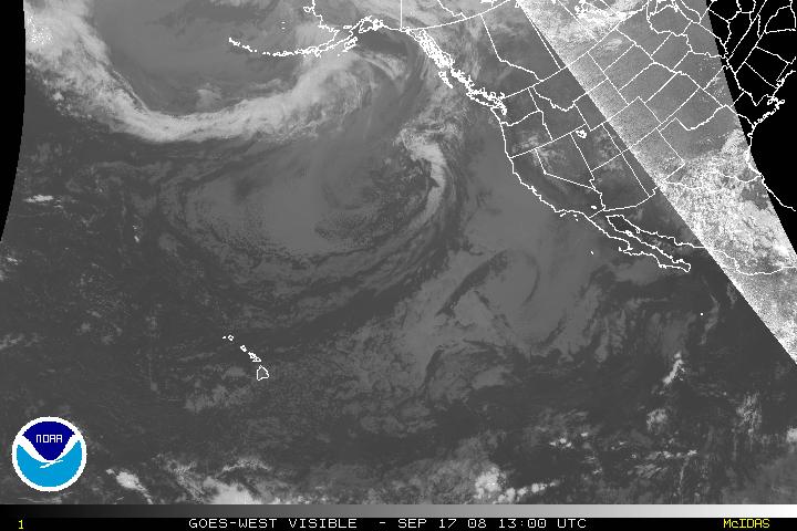
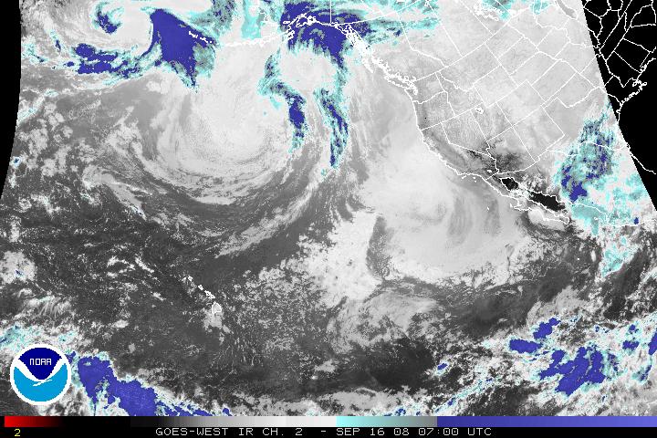
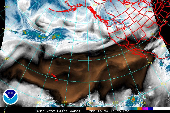
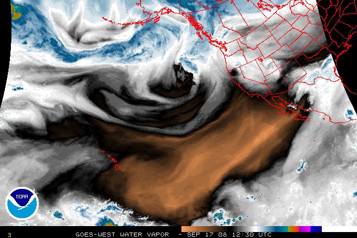
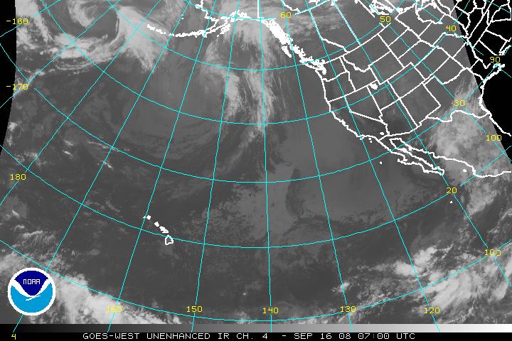
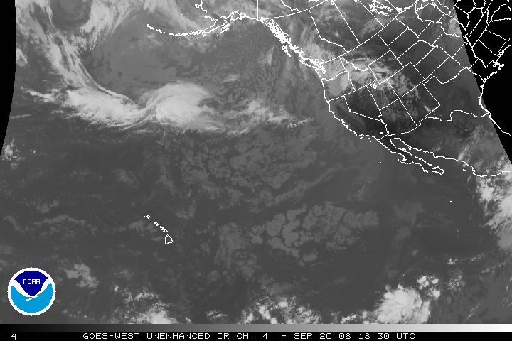
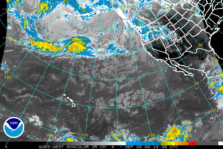
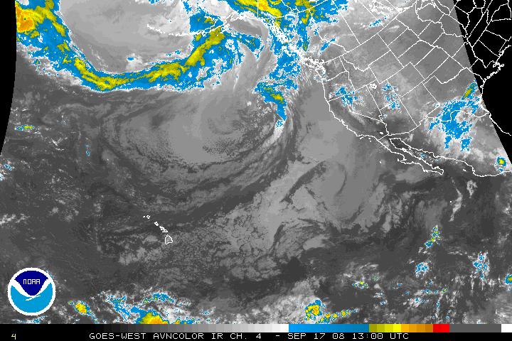
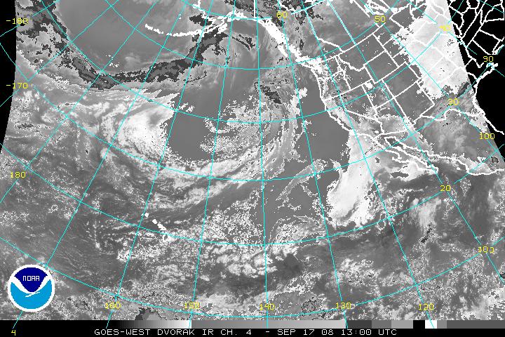
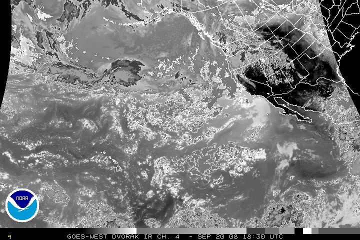
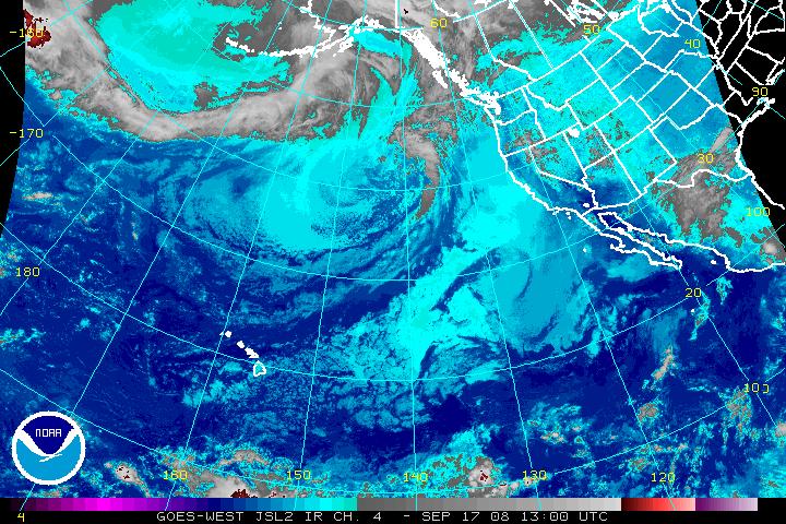
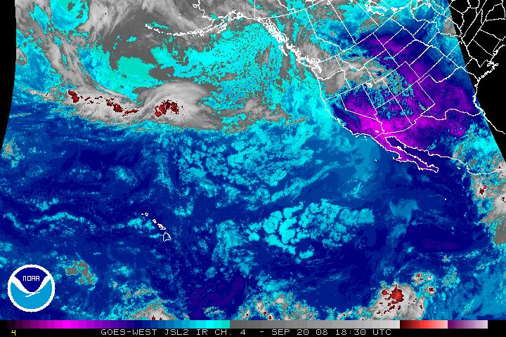
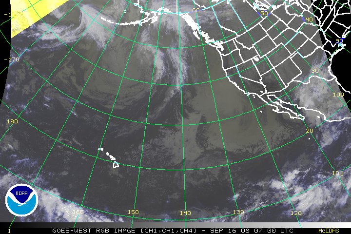
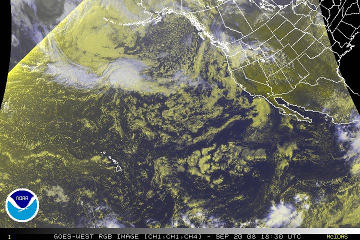
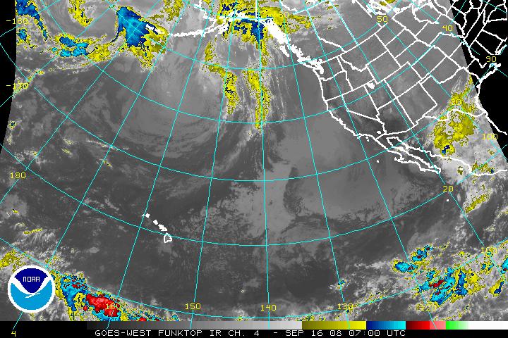
Goes West Imagery - 30 Minutes xx00Z and xx30Z Imagery available about 25 minutes later. 16 km resolution |
| Single Image | Image Loop (Toggle Lat/Lon) |
|
| With Lat/Lon | Without Lat/Lon | |
| Visible | Visible | Visible |
| Shortwave (IR2) | Shortwave (IR2) | Shortwave (IR2) |
| Water Vapor (IR3) | Water Vapor (IR3) | Water Vapor (IR3) |
| Infrared Channel 4 Enhancements | ||
| None | None | None |
| AVN | AVN | AVN |
| Dvorak | Dvorak | Dvorak |
| JSL | JSL | JSL |
| RGB | RGB | RGB |
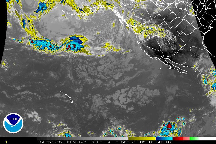
| Funktop | Funktop | Funktop |
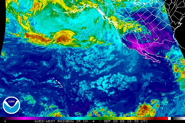
| Rainbow | Rainbow | Rainbow |
|
Contact Information: |
||
|
You are Here: http://www.ssd.noaa.gov/goes/west/nepac.html
|