

Pacific Ocean Perch - Mapping
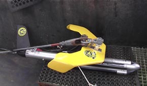
Klein 3000 sidescan sonar unit towed behind the research vessel to map bottom reflectivity.
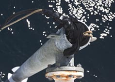
Multibeam sonar mounted to the side of the research vessel used to map the depth of the seafloor.
Five study areas surrounding the Islands of Four Mountains were mapped in summer 2004 using towed sidescan sonar (Klein 3000; 100 kHz) and multibeam sonar (Simrad SM2000, 200 kHz) systems. These acoustic systems determine bottom depth and reflectivity (backscatter indicating bottom hardness/roughness). The processed acoustic data sets were used to construct mosaics of each study area.
|
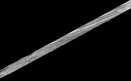
Reflectivity collected by the sidescan sonar system.
|
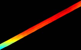
Bathymetry collected with the multibeam sonar system of Samalga Island south site. Depth ranged from 120 m (red) to 140 m (blue).
|
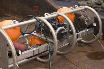
Camera sled towed along the seafloor to collect video used to classify fish habitats in the study areas.
During the summer of 2004 we collected underwater video using a towed camera sled (photo above). Different habitats were delineated from the underwater video (image below).

For example, at the Samalga Island South site three types of habitats were found:
- low relief sandy habitat (see video clip)
- low relief sandy-cobble habitat (see video clip)
- relatively high relief boulder and sand habitat (see video clip)
continue »
|


