Mississippi River Still at Major Flood Level as Flooding Subsides on Many Tributaries
Southern Wisconsin Locations Also Stay at Major Flood Level
Kansas City, Mo., Wednesday, June 25, 2008 – Fed by rain-swollen tributaries, the Mississippi River remains at major flood stage from New Boston Lock and Dam 17 downstream to Chester, Ill. The U.S. Army Corps of Engineers repeated concerns about the possibility of levee failures as prolonged flooding softens their structure and creates “sand boils” where flood waters seep below the levees.
Flooding and flash flooding problems along the Mississippi through St. Louis were compounded Tuesday by thunderstorms that moved through the area bringing heavy rain and lightning that forced officials to stop work on shoring up levees. Up to 8.48 inches of rain were reported overnight in northern Missouri, forcing closure of numerous roads.
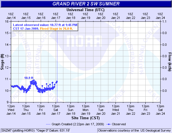
Linneus in Linn County, Mo., reported 7.10 inches of rain between 11:45 p.m. and 3:45 a.m., including 5.22 inches that fell between midnight and 2 a.m. The 8.48-inch rainfall at Linneus helped bring nearly a 15-foot increase in the level of the Grand River near Sumner, Mo.
Northern Missouri and portions of Iowa, Wisconsin, Illinois and Indiana face a possibility of thunderstorms through Friday.
NOAA’s Hydrometeorological Prediction Center map at http://www.hpc.ncep.noaa.gov/noaa/noaa.pdf shows the flooded areas of Iowa, northern Illinois, Michigan and southern Wisconsin to be in an area at risk for severe thunderstorms, today. The convective outlook maps from NOAA’s Storm Prediction Center at http://www.spc.noaa.gov/products/outlook show the areas of expected severe weather through Friday.
“Flood crests are moving downstream on the Mississippi River, now,” said Jim Keeney, weather services program manager at National Weather Service Central Region Headquarters, “but the flooding is far from over in upstream areas. The soil is going to be so wet, even when streams drop below flood level, heavy rains will pose flash flooding problems for weeks.”
Precipitation forecasts are available at http://www.hpc.noaa.gov/qpf/qpf2.shtml.
NOAA’s Advanced Hydrologic Prediction Service national flood map at http://www.weather.gov/ahps shows 23 river gauge sites at Major Flood levels and 22 gauge sites at Moderate Flooding. As has been the case for the past couple of weeks, the major flooding sites are connected from southern Wisconsin to south of St. Louis.
The Mississippi River will be at the major flood level through July 1 on stretches above St. Louis, according to Keeney. The Mississippi began cresting June 22 at Canton Lock and Dam #20 and is expected to crest today and Friday at Grafton, Ill. The St. Louis weather forecast office has issued flood warnings for today affecting several counties in Illinois and Missouri, including: Adams, Calhoun, Jersey, Lewis, Lincoln, Madison, Marion, Pike, Ralls, Randolph, St. Charles, St. Clair, and St. Louis.
The Milwaukee forecast office has flood warnings in effect for major flooding on the Crawfish River at Milford and on the Rock River at or near Jefferson, Fort Atkinson, Newville, Indianford, Afton and Rockton, Wis.
Details on Flood and Flash Flood Warnings and local forecasts for today are available by selecting the desired location on the National Weather Service map at http://weather.gov.
Contact: Public Affairs Specialist Patrick Slattery (816) 268-3135.
Return to Latest News