Local forecast by
"City, St" or zip code |
|
Search by city or zip code. Press enter or select the go button to submit request
|
|
Current Version Previous Versions: 1 2 3 4
Text Only ...METEOROLOGICAL DISCUSSION...ISSUED: 1131 AM CDT FRI SEP 19 2008 VALID: SEPTEMBER 19 THROUGH SEPTEMBER 24 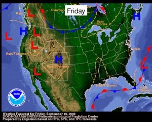 | 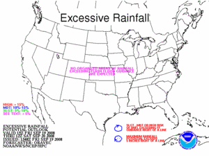 | 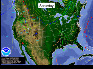
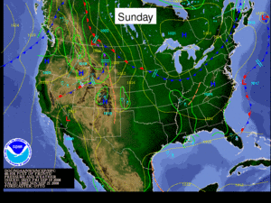 | The large scale upper level ridge that has been keeping us dry the last few days has finally shifted to the east. A low pressure system off the coast of California will shift into the intermountain west, but will stay too far north to bring precipitation to the WGRFC area. Afternoon thunderstorms may POP up in far south Texas late in the period due to the return of tropical moisture. |
...PRECIPITATION FORECAST... 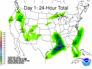 | 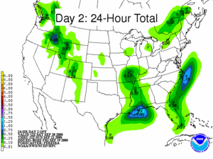 | For Today into Saturday morning, no significant Mean Areal Precipitation (MAP) amounts are forecast for the WGRFC area. | For Saturday into Sunday morning, no significant MAP amounts are forecast for the WGRFC area. | 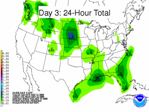 | 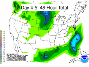 | For Sunday into Monday morning, no significant MAP amounts are forecast for the WGRFC area. | For Monday into Wednesday morning, MAP amounts of 0.25 to 0.50 inch are forecast for deep South Texas. | |
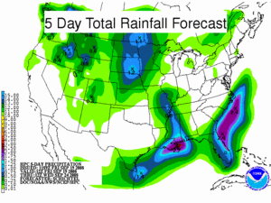 | The rainfall that is forecast across the WGRFC region the next 5 days will produce little or no significant runoff. |
...HYDROLOGIC DISCUSSION... 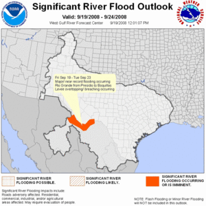 | 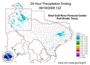 |
 | ...Rio Grande Basin...
...Major Flooding...
Decreases in reservoir releases from Luis Leon in Mexico has reached the Presidio area and we are seeing a decreasing trend in stage heights at International Bridge (PRST2). The trend of decreasing releases from Luis Leon should continue for the next few days. We have received reports that not all of the Luis Leon releases are moving past the PRST2 location due to overland flow in Mexico from levee breaches along the Rio Conchos. This diverted flow is re-entering the Rio Grande upstream of the furthest downstream Presidio gage (PRDT2) which lead to the increase in stage height the last 24 hours at PRDT2. The stage height has stabilized at PRDT2 and will begin to fall within the next 24 hours. Even with the decreasing stage heights in the PRST2 and PRDT2 forecasts, both locations will remain in the major flood category throughout the forecast period. As the peak floodwave from Presidio moves downstream, moderate to major flooding is occurring downstream of Presidio through the Big Bend National Park. Significant flooding is occurring at Presidio International Bridge (PRST2), Presidio 5SE (PRDT2), Lajitas (TGAT2), Castolon (CSTT2), Johnson Ranch (TELT2), Boquillas (BOQT2), and Heath Canyon (HECT2). Downstream of the park, some minor to moderate flooding is forecast along the Rio Grande above Lake Amistad. Lake Amistad is making gate releases, which will result in the river remaining near flood stage downstream at Del Rio (DLRT2) and Laredo (LDOT2). ...Neches Basin...
...Minor Flooding...
Higher flows continue at a few locations on the Neches River system. Neches (NCST2) continues in minor flood, but a very slow recession is forecast as discharges from Lake Palestine slowly decrease. On the lower end of the system, Sour Lake (SOLT2) is experiencing a flat crest in the minor flood category that will continue into the weekend. Light rainfall forecast over the basin the next five days should not impact current flows or generate any new river flooding. ...San Jacinto Basin...
...Higher Flow Non-Flood Forecasts...
The San Jacinto river system continues to slowly recede. Higher flows continue, however, only Humble (HMMT2) and Luce Bayou at Huffman (HFFT2) remain above criteria. These locations are being impacted by higher than normal levels at Lake Houston. As lake levels continue to drop, HFFT2 and HMMT2 will continue very slow recessions and will fall below criteria levels this weekend. With no significant rain in the forecasts, conditions across the area should continue to improve. ...Remainder of WGRFC Basins...
Light amounts of rainfall are forecast over portions of southern Texas through the first of next week. With no significant rainfall forecast, no new or additional river flooding is expected over the WGRFC area the next five days. |
|


