Do you have a weather picture from central or southeast Illinois that you would like to share?  The National Weather Service in Lincoln is looking for pictures that represent the various weather extremes that occur over our County Warning Area (in an area generally bounded by Galesburg, Danville, Lawrenceville, and Jacksonville; click on the link for a map).  If you are interested in participating in our photo gallery, please send your photo to the Webmaster at W-ILX.webmaster@noaa.gov

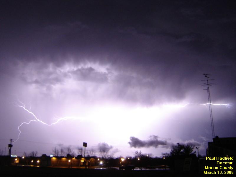
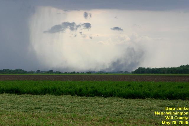
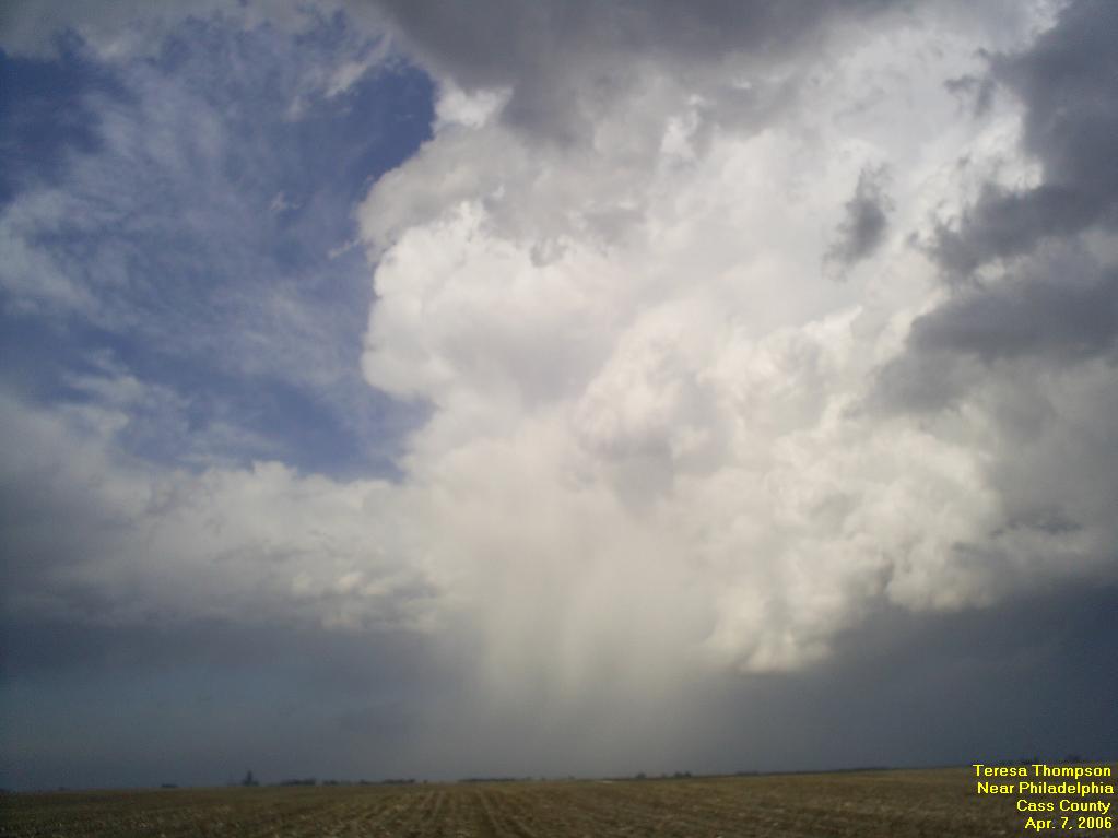
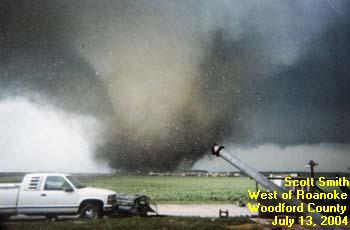
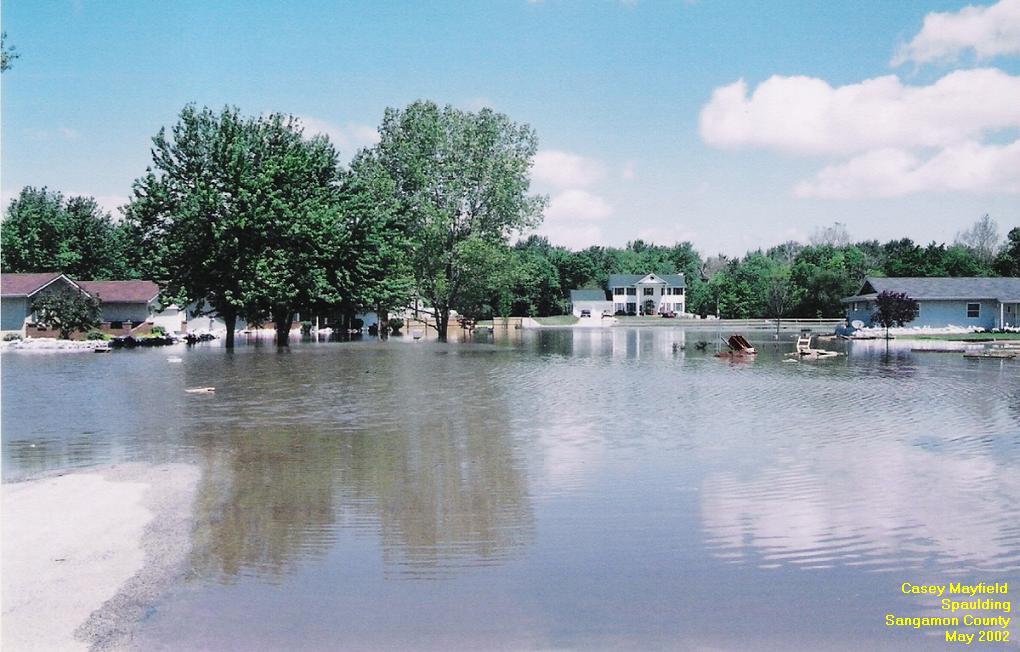
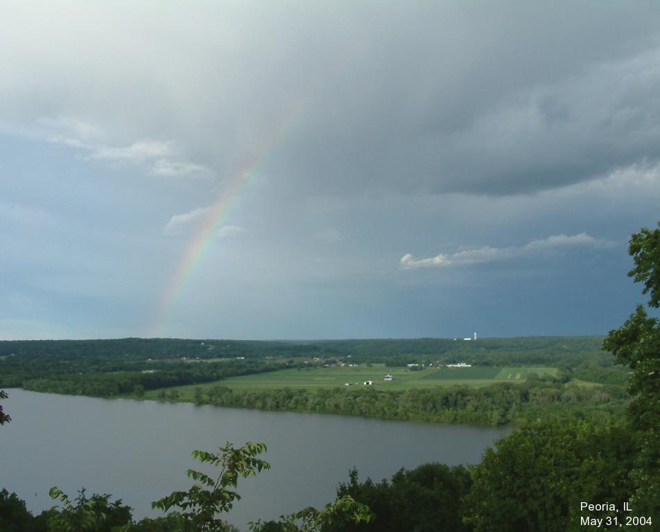
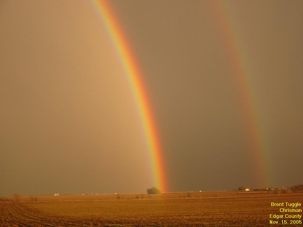
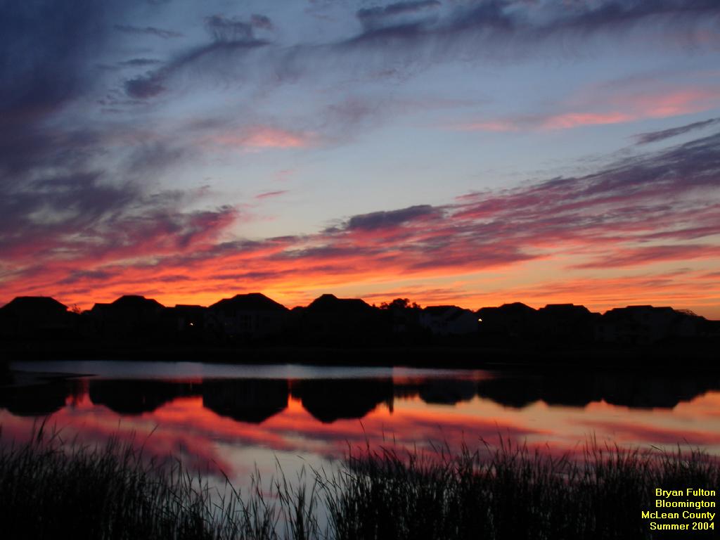
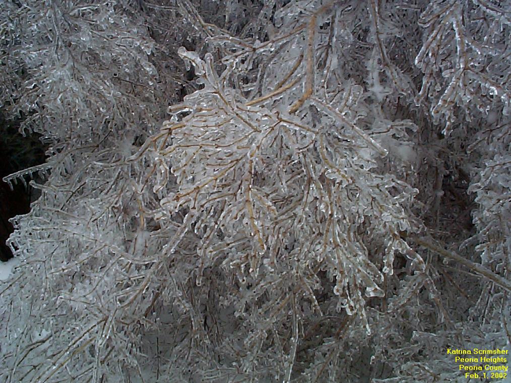
All pictures must be in a digital format (jpeg, gif, or png image).  We would prefer that images be kept to a maximum size of 1024 x 768 pixels.  We also ask you to include the date and nearest city of the weather event captured on film. If you'd like your name included, please provide that as well. Thanks for participating!

All photos used with permission of the photographer.
 

Newest Additions:

Building thunderstorms near Decatur.  Photo by Paul Hadfield. Tornado (in oval) northwest of Decatur on 3/11/06.  Photo by Paul Hadfield. Lightning over Decatur, 3/13/2006.  Photo by Paul Hadfield. Lightning strike near Decatur, 3/11/2006.  Photo by Paul Hadfield. Lightning over Decatur, 11/5/2005.  Photo by Paul Hadfield. Downburst near Wilmington, 5/29/2006.  Photo by Barb Janke.
Snowfall in Ogden, 12/8/2005.  Photo by Larry Woller.  Thunderstorm near Philadelphia, 4/7/2006.  Photo by Teresa Thompson.  Rainbow east of Wenona, 5/29/2006.  Photo by Barb Janke.  3 foot snowdrift near Rosamond, 3/21/2006.  Photo by Markes Rodgers.  Lightning bolt near Toluca, 6/25/2006.  Photo by Barb Janke. 

Tornadoes and Funnel Clouds:
Tornado (in oval) northwest of Decatur on 3/11/06.  Photo by Paul Hadfield. Tornado near Roanoke, 5/30/2003.  Photo by Mike Oltman.  Tornado destroying Parsons Plant west of Roanoke, 7/14/2004.  Photo by Scott Smith.  F4 tornado west of Roanoke, 7/14/2004.  Photo by Justin Weber.  Tornado near Secor, 5/30/2004.  Photo by Chris Novy.  Tornado near Camp Grove, 4/20/2004.  Photo by B. Heidenreich
Thunderstorms:
Downburst near Wilmington, 5/29/2006.  Photo by Barb Janke.  Thunderstorm downburst near Wilmington, 5/29/2006. Photo by Barb Janke.  Thunderstorm downburst near Wilmington, 5/29/2006.  Photo by Barb Janke.  Thunderstorm downburst near Wilmington, 5/29/2006.  Photo by Barb Janke.  Thunderstorm near Philadelphia, 4/7/2006.  Photo by Teresa Thompson.   Gust front near Toluca, 6/25/2006.  Photo by Barb Janke. 
Lightning:

more

Lightning over Decatur, 3/13/2006.  Photo by Paul Hadfield. Lightning strike near Decatur, 3/11/2006.  Photo by Paul Hadfield. Lightning over Decatur, 11/5/2005.  Photo by Paul Hadfield. Lightning near Toluca, 6/25/2006.  Photo by Barb Janke.  Lightning bolt near Toluca, 6/25/2006.  Photo by Barb Janke.  Lightning over Decatur, 4/14/2006.  Photo by Paul Hadfield.
Cloud Formations:
Building thunderstorms near Decatur.  Photo by Paul Hadfield. Cumulonimbus cloud seen in Champaign County, 6/14/2001.  Photo by Andrew Ziegler.  Thunderhead over Douglas County, as seen from Rantoul, July 2005.  Photo by Shane Csiki. Towering cumulus cloud near Macon, 5/23/2004.  Photo by Paul Hadfield.  Clouds illumuniated by sunset at the Lincoln NWS office, 6/5/2005.  Photo by Chris Geelhart, NWS.   Thunderstorm near Decatur, 6/4/2004.  Photo by Paul Hadfield. 
Winter Weather:
3 foot snowdrift near Rosamond, 3/21/2006.  Photo by Markes Rodgers.  Snowfall in Ogden, 12/8/2005.  Photo by Larry Woller. A winter scene in southern Christian County, 12/18/2005.  Photo by Markes Rodgers. Snow roller east of Petersburg, 2/11/2003.  Photo by Paul White.  Ice on equipment at Lincoln NWS, 1/5/2005.  Photo by Chris Geelhart, NWS.  Thanksgiving morning in Bloomington, 11/24/2004.  Photo by Patrick Steadman. 
Storm Damage:

more

Tornado track near Chenoa, 5/24/2004.  Photo by Roger Stoller.  Damage from South Pekin tornado, 5/10/2003.  Photo by Chris Geelhart, NWS.  Vehicle destroyed at Parsons Plant, 7/14/2004.  Photo by Chris Geelhart, NWS.  Remains of a home west of Roanoke, 7/14/2004.  Photo by Chris Geelhart, NWS.
Flooding:
Flooded road in Lawrenceville, 5/15/2002.  Photo by Dan Kelly, NWS.  Water flows over Peoria Rd in Springfield, 5/14/2002.  Photo by Dan Smith, NWS.  Little Wabash River flooding near Effingham, 1/5/2005.  Photo by Andrew Kunzeman.  Sangamon River flooding in Spaulding, May 2002.  Photo by Casey Mayfield.
Rainbows:

more

 
Rainbow near Elwin, 4/7/2006.  Photo by Paul Hadfield.  Rainbow east of Wenona, 5/29/2006.  Photo by Barb Janke. Rainbow over Illinois River near Peoria, 5/31/2004.  Photo by John Carlson.  Double rainbow near Taylorville, 6/13/2004.  Photo by Mike Ley.  Double rainbow near Chrisman, 11/15/2005.  Photo by Brent Tuggle.  
General:

more

 
Sunset over Peoria, 10/27/2004.  Photo by John Carlson.    Twilight over Bloomington, summer 2004.  Photo by Bryan Fulton. Sunset over Canton, 9/29/2004.  Photo by Bob Cebuhar.  Sunrise near Bement, 8/30/2005.  Photo by Greg Grady. Morning ground fog at Lincoln 8/1/2005.  Photo by Dan Kelly, NWS. Sunrise in Champaign County, 8/19/2005.  Photo by Andrew Ziegler.

  • NOAA's National Weather Service
  • Central Illinois Weather Forecast Office
  • 1362 State Route 10
  • Lincoln, IL 62656
  • 217-732-3089 (8:30 am to 4 pm weekdays)
  • Page Author: ILX Webmaster
  • Web Master's E-mail: w-ilx.webmaster@noaa.gov
  • Page last modified: 27-Jul-2006 1:44 PM UTC
USA.gov is the U.S. government's official web portal to all federal, state and local government web resources and services.