U.S. Geological Survey
Back to USGS Homepage
Click image above to visit site
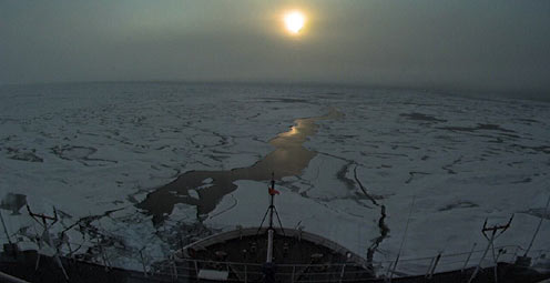
Mapping an Unexplored Arctic Region
A scientific expedition this fall will map the unexplored Arctic seafloor where the U.S. and Canada may have sovereign rights over natural resources such as oil and gas and control over activities such as mining. Access photos, trip journey, and video in the Arctic Chronicles blog.
Click image above to visit site
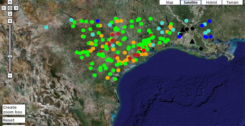
Track Hurricane Ike on the USGS Water Hazards Map
This interactive tool can be used to track storm surge and floods in real-time on Google Maps before, during and after the storm.
Click image above to visit site
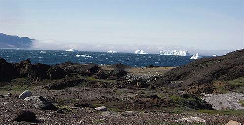
First Arctic Oil and Gas Resources Assessment
The U.S. Geological Survey has completed the first publicly available assessment of the Arctic in its entirety to estimate how much of the world's undiscovered, technically recoverable oil and gas resources are there.
Click image above to visit site
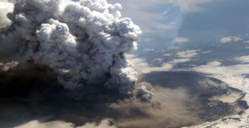
Ash in the Flight Path
A new vent recently erupted on Volcano Okmok in Alaska, sending ash into the sky up to 50,000 feet. Flights were diverted on the heavily traveled North Pacific air corridor. Track this eruption and learn about Alaska's many volcanoes at the Alaska Volcano Observatory's Web site.
Click image above to visit site
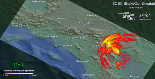
The Great ShakeOut
A hypothetical magnitude 7.8 earthquake will start The Great Southern California ShakeOut, a week of special events featuring the largest earthquake drill in U.S. history on November 13, 2008. What we do now, before a big earthquake, will determine what our lives will be like after.
Click image above to visit site
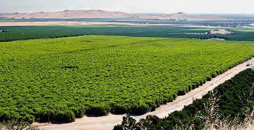
How Much Water and Where?
Scientists have proposed a strategy to study the Nation's ground-water supply; the strategy is designed to provide regional information for State and local resource managers as well as the building blocks for a national assessment.
Click image above to visit site
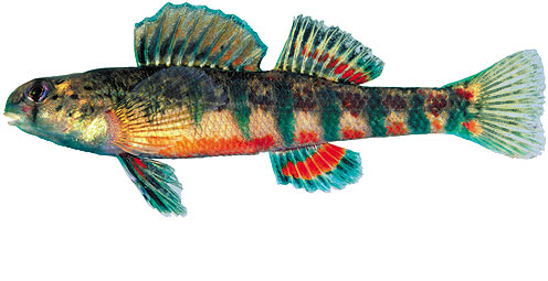
Silent Streams?
Nearly 40 percent of fish species in North American streams, rivers and lakes are now in jeopardy, according to the most detailed evaluation of the conservation status of freshwater fish in the last 20 years.
Click image above to visit site
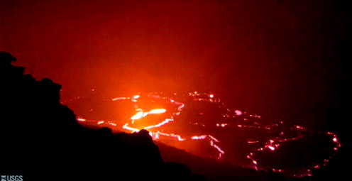
Keep Up With Kilauea
Time lapse movies, web cams, status reports, maps, and images are just a few of the great resources available at the Hawaiian Volcano Observatory Web site. Browse the vast information and unique images offered at this site.
Click image above to visit site
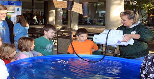
Earth Science Week 2008
The USGS encourages young people to learn about the geosciences by getting away from the television, off the computer, and out of doors. Earth Science Week 2008: "No Child Left Inside", will be held October 12-18, 2008.

Click image above to visit site
Snake Invaders
The ecological and economic damage caused by invasive Brown Treesnakes is truly staggering. Learn about the life of a USGS Brown Treesnake Rapid Response Team coordinator and the effort to defend snake-free islands against these unwanted, highly adaptable invaders.
Click image above to visit site
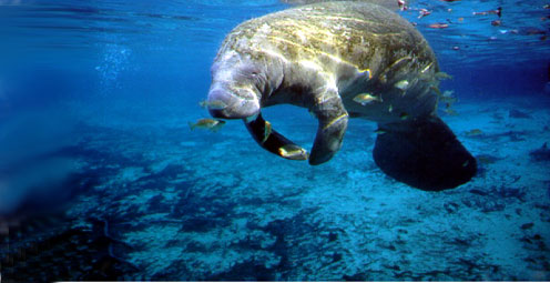
On the Gene Scene with the USGS
The USGS helps answer genetics questions for the management of fish and wildlife, and their habitat and conservation. Visit our new Genetics and Genomics site to see the cutting-edge tools and technologies our geneticists put to work.
Click image above to visit site
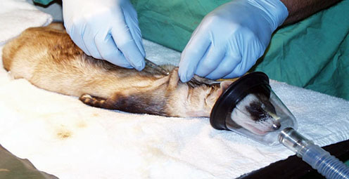
Black Plague for Black-Footed Ferrets
To help control an extensive outbreak of sylvatic plague in endangered black-footed ferrets, biologists are giving some ferrets a vaccination shot.
Click image above to visit site
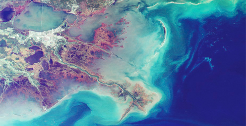
Nutrients Net a Negative in the Northern Gulf
High levels of nutrient delivery to the northern Gulf of Mexico are contributing to a large hypoxic zone, an area where low oxygen levels cause fish to leave the area and can kill bottom-dwelling organisms that can't
leave.
Click image above to visit site
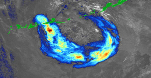
Fire and Ash in Alaska
Kasatochi Volcano is the third volcano to erupt in the Aleutian Islands in three weeks. Scientists are working around the clock to monitor the volcanoes and keep the public and emergency responders informed.
Click image above to visit site
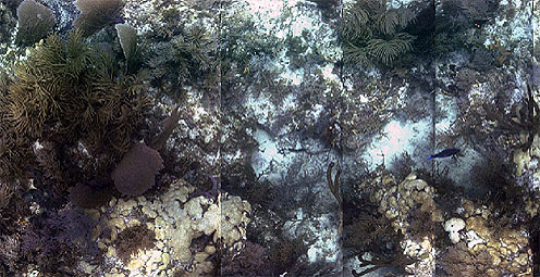
Robotic Reef Research
The USGS has developed the Deep Along-Track Reef-Imaging System (Deep ATRIS), a computer-controlled, boat-towed vehicle that can provide a wealth of information about reef ecosystems for managers and researchers.

Click image above to visit site
President's FY 2009 Budget Request
Information, resources, and more on the President's FY 2009 Budget Request
Click image above to visit site
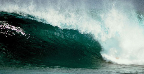
The Power of Observation
The United States Group on Earth Observations (USGEO) is working to connect Earth observations with public health, agriculture, climate, and data management and dissemination.

Click image above to visit site
Global Change Keeping Up With an Ever-Changing Planet
USGS studies the relationships among earth surface processes, ecological systems, understanding current changes in the context of prehistoric and recent earth processes, distinguishing between natural and human-influenced changes, and recognizing ecological and physical responses to changes in climate.
Click image above to visit site
Facing Tomorrow's Challenges
The USGS Science Strategy is a comprehensive report to critically examine the USGS's major science goals and priorities for the coming decade. The USGS is moving forward with these strategic science directions in response to the challenges that our Nation's future faces and for the stewards of our Federal lands.
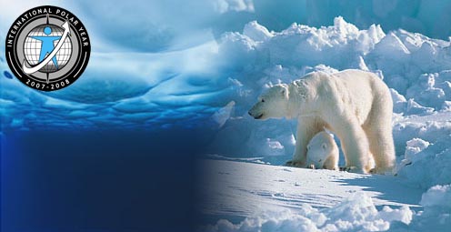
Click image above to visit site
USGS Kicks Off International Polar Year
During the International Polar Year (2007-2008), USGS will be conducting research at both poles, collecting information on polar conditions and studying their interactions with and influence on oceans, the atmosphere, land masses and ecosystems to understand current and forecast future global climate.