skip navigation link

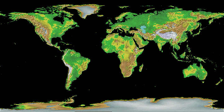
The Global Land One-km Base Elevation (GLOBE) Project

A 30-arc-second (1-km) gridded, quality-controlled global Digital Elevation Model (DEM).

Color-Shaded relief image of GLOBE data

Get GLOBE Data Online | Credits? | Image Gallery | U.S. State Images | Order CD-ROMs

Other Sources and Reviews of DEMs:

The GLOBE Task Team was established by the Committee on Earth Observation Satellites. It is part of Focus I of the International Geosphere-Biosphere Programme - Data and Information System.

Original GLOBE web pages were created and hosted by the World Data Center for Geophysics & Marine Geology, Boulder.