Local forecast by
"City, St" or zip code |
Search by city or zip code. Press enter or select the go button to submit request |
|
|
Get the full picture
What's it look like
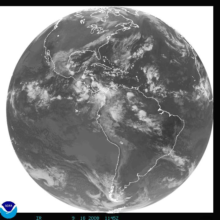
over the continental US
Zoom in on
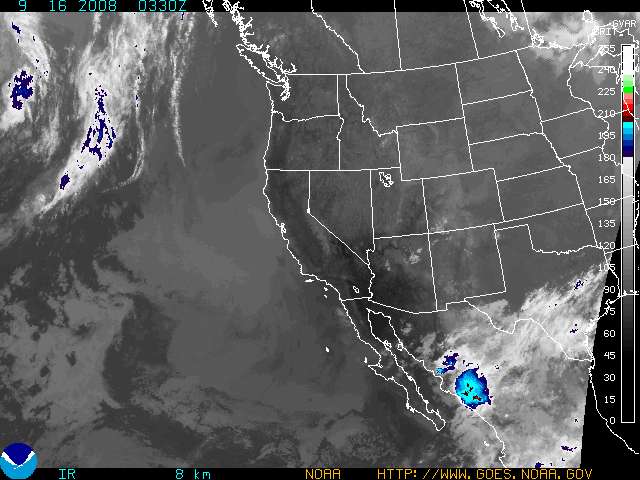
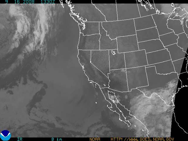
the Southwest
Satellite derived
products
Satellite derived
soundings
Satellite Links
|
|


