How NMFS Uses GIS
Socioeconomic Analysis
The importance of marine resources for people and communities is a major consideration in ecosystem management. GIS is used to map trends in business practices, profile community involvement in fisheries, analyze recreational angler fishing site selection, and most recently, as a tool to monitor and assess impacts from the 2005 hurricane season. GIS is also used to assess the effectiveness of marine protected areas and the impacts of regulations.
 |
||
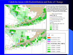
| Aleutian Islands Redistribution of Catch | ||