|
NOAA 99-34 FOR IMMEDIATE RELEASE Contact: Pat Viets 4/27/99 |
|
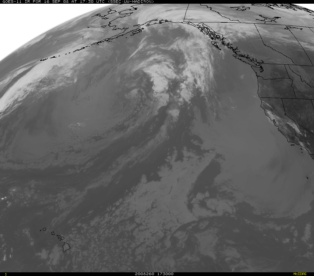
An advanced U.S. weather satellite, which will monitor hurricanes, severe thunderstorms, flash floods and other severe weather, is being prepared for launch May 15 from Cape Canaveral Air Station, the Commerce Department's National Oceanic and Atmospheric Administration and the National Aeronautics and Space Administration announced today. The Geostationary Operational Environmental Satellite is currently being processed for launch at a facility near Cape Canaveral. Now called GOES-L, the satellite will be renamed NOAA GOES-11 once reaching geostationary orbit. "GOES satellites are a mainstay of weather forecasting in the United States," said Gerry Dittberner, NOAA's GOES program manager. "They are the backbone of short-term forecasting, or nowcasting. GOES images of clouds are well-known to all Americans; the images can be seen on television weather forecasts every day." The real-time weather data gathered by GOES satellites, combined with data from Doppler radars and automated surface observing systems, greatly aids weather forecasters in providing better warnings of severe weather. These warnings help to save lives, preserve property, and benefit commercial interests. For example, in 1998, NOAA's National Weather Service had an average lead time of 10.7 minutes for tornado warnings and an average lead time of 50.6 minutes for flash floods. "GOES satellites help our forecasters to see both the big picture and small-scale storm features," said Jack Kelly, director of the National Weather Service. "Since they are designed to be stationary, GOES satellites act as steady eyes on the ever-changing weather and climate." The United States operates two meteorological satellites in geostationary orbit 22,300 miles over the Equator, one over the East Coast and one over the West Coast. NOAA GOES-10, launched on April 25, 1997, is currently overlooking the West Coast out into the Pacific including Hawaii; it is located at 135 degrees West longitude. NOAA GOES-8, launched in April 1994, is overlooking the East Coast out into the Atlantic Ocean and is positioned at 75 degrees West. NOAA GOES-L will be stored on orbit ready for operation when needed as a replacement for GOES-8 or -10. "NOAA GOES-L will ensure continuity of GOES data from two GOES, especially for the Atlantic hurricane season," Dittberner said. NOAA's National Environmental Satellite, Data, and Information Service operates the GOES series of satellites. After the satellites complete on-orbit checkout, NOAA assumes responsibility for command and control, data receipt, and product generation and distribution. The GOES satellites are a critical component of the ongoing National Weather Service modernization program, aiding forecasters in providing more precise and timely forecasts. NASA's Goddard Space Flight Center manages the GOES contract. Goddard manages the design, development, and launch of the spacecraft for NOAA. NASA's Kennedy Space Center is responsible for government oversight of launch operations and countdown activities. NOAA GOES-L, built by Space Systems/Loral, a subsidiary of Loral Space and Communications Ltd., will be launched on an Atlas IIA rocket, built by Lockheed Martin. The final satellite in the current GOES series will be launched as required to support NOAA's dual-satellite geostationary observing system.
Editors Note: GOES information and imagery
are available on the World Wide Web at: http://www.goes.noaa.gov Images from the April 27 GOES-L press conference are available at: |