skip to Main Content
KEO National Oceanic and Atmospheric Administration Pacific Marine Environmental Laboratory NOAA
Kuroshio Extension Observatory (KEO)
  Data from the KEO Mooring Site Nominally at 32.4°N, 144.6°E
Please note that since this is a slack-line mooring, the distance along the mooring line cannot be used as a proxy for sensor depths, which will at times be shallower. Instead, you must use the water pressure, which is measured by several modules, and calculated at the others, to determine sensor depths.

You may find documentation on most of the data file formats in the readme files located here. Example fortran programs to read most of the files are available here


KEO data in OceanSITES NetCDF format (OceanSITES Home):
FTP sites for KEO data in ASCII and OceanSITES NetCDF format:
You can use the links below to browse files in the FTP site, login anonymously to ftp.pmel.noaa.gov and cd keodata, or write a script to download files automatically.

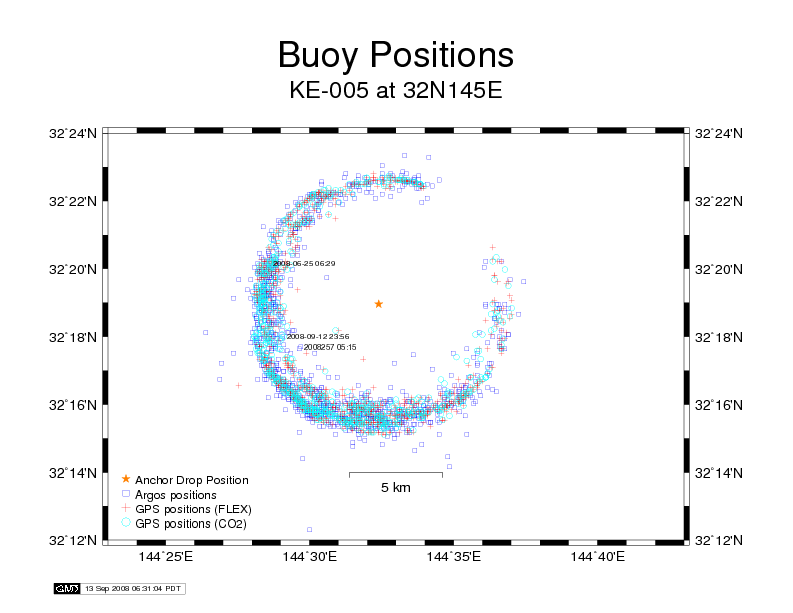
Links to various ASCII files and a Position plot are below:
Real-Time and Delayed-Mode Daily Average Data in ASCII Format:
Surface Met Wind Relative Humidity Solar and Longwave Radiation Rain Rate
Air Temp Sea Surface Temp Water Temp Water Pressure Ocean Current
Salinity Density
sigma-theta
17°C Isotherm Depth Dynamic Height
sea surface referenced to 500db
Heat Content
sea surface to 300m depth
Delayed-Mode High Resolution Data in ASCII Format:
Surface Met Wind Relative Humidity Solar and Longwave Radiation Rain Rate
Air Temp Sea Surface Temp Water Temp
Water Pressure
Ocean Current Salinity
and
Density
Sigma-Theta
Real-Time High Resolution Data in ASCII Format:
Surface Meteorological
Engineering Data in ASCII Format:
Daily Positions Position Plot
Load Cell

  Special Periods
KEO Home | Overview | Technical | Data | Partners | Links | OCS Home
Pacific Marine Environmental Laboratory
7600 Sand Point Way NE
Seattle, WA 98115
KEO web master
DOC | NOAA | OAR | PMEL
Privacy Policy | Disclaimer