NCDC | Contents | Climate | Products | Events | Search | Help
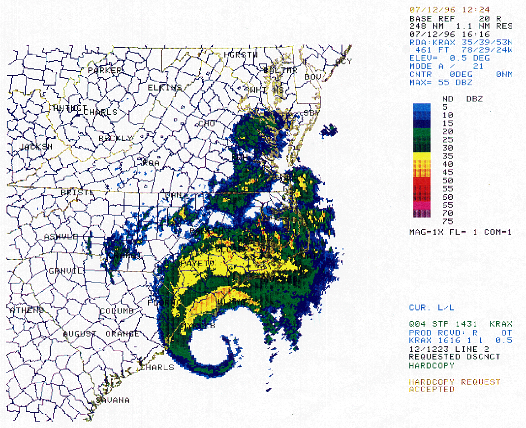
Hurricane Bertha slammed into North Carolina's southern coastline on July 12, 1996 with sustained winds of approximately 105 MPH, and gusts reported as high as 144 MPH (Topsail Beach--unconfirmed). Damages were estimated to exceed $60 million for homes and structures, and over $150 million for agriculture. Corn, tobacco, and other crops received severe damage from the storm. Rainfall totals of over 5 inches were common in eastern NC.
For further information, see the NCDC Storm Data publication for Jul 96, and the NWS special report on the storm.
 Top of Page Top of Page
http://www.ncdc.noaa.gov/oa/reports/bertha/bertha.html
Downloaded Saturday, 20-Sep-2008 15:11:21 EDT
Last Updated Thursday, 01-Jul-2004 13:43:20 EDT by Neal.Lott@noaa.gov
Please see the NCDC Contact Page if you have questions or comments.
|

