Unless otherwise noted, the images linked from this page are located on servers at the Satellite Services Division of the National Environmental Satellite, Data, and Information Service.
Please direct all questions and comments regarding these images to the NESDIS Satellite Services Division at SSDWebmaster@noaa.gov and SABWebmaster@noaa.gov.
Several satellite enhancements are available for the images. To learn more about satellite imagery, The GOES Imager Tutorial and the Satellite Imagery FAQ are available to answer your questions.
|
Atlantic Visible - Loop IR - Loop Water Vapor - Loop |
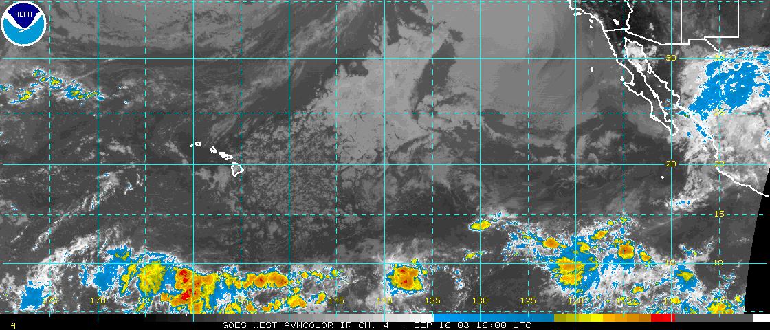
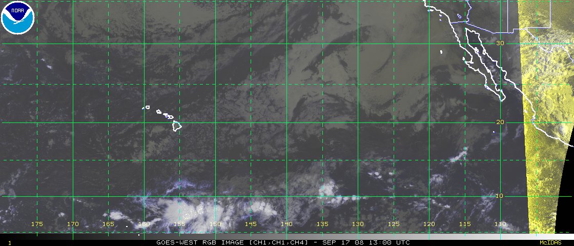
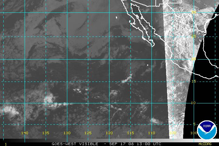
East Pacific Visible - Loop IR - Loop Water Vapor - Loop |
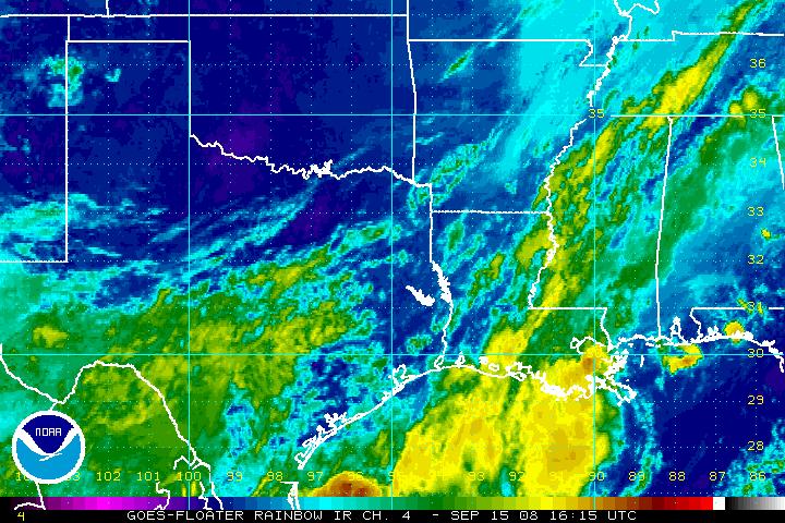
Gulf of Mexico Visible - Loop IR - Loop Water Vapor - Loop |
East Coast US Visible - Loop IR - Loop Water Vapor - Loop |
|
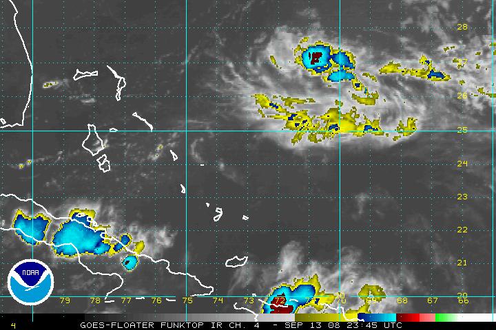
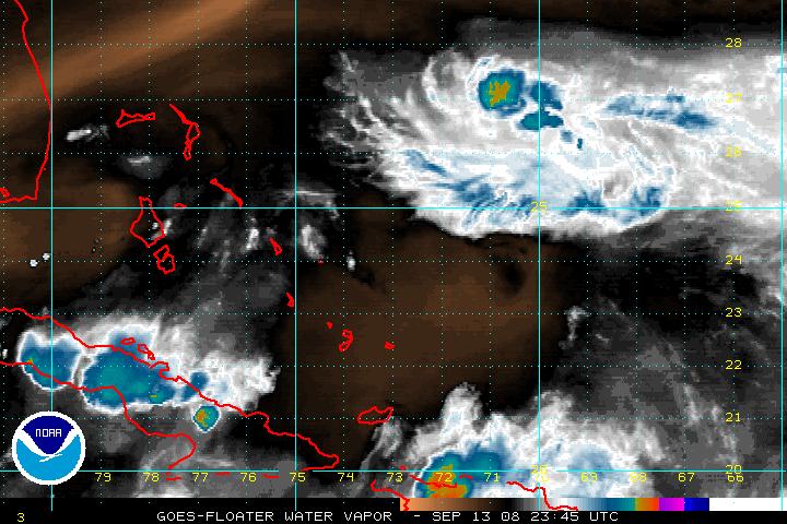
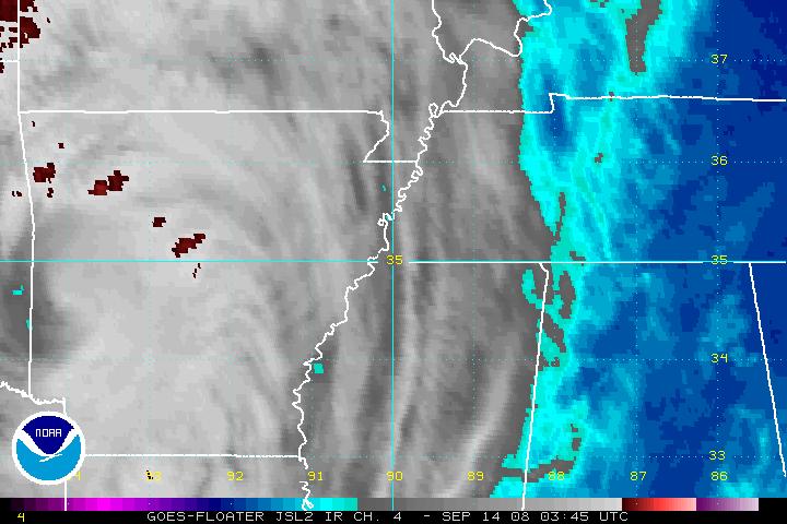
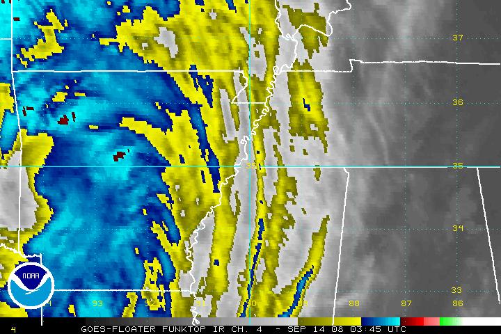
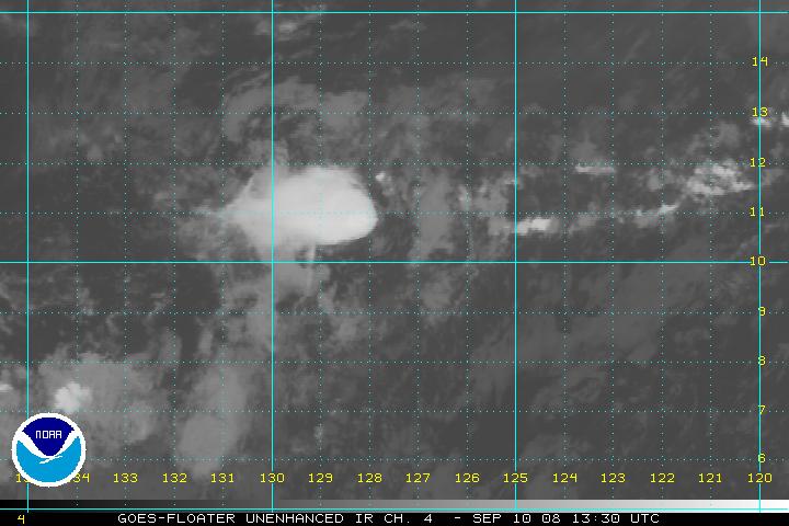
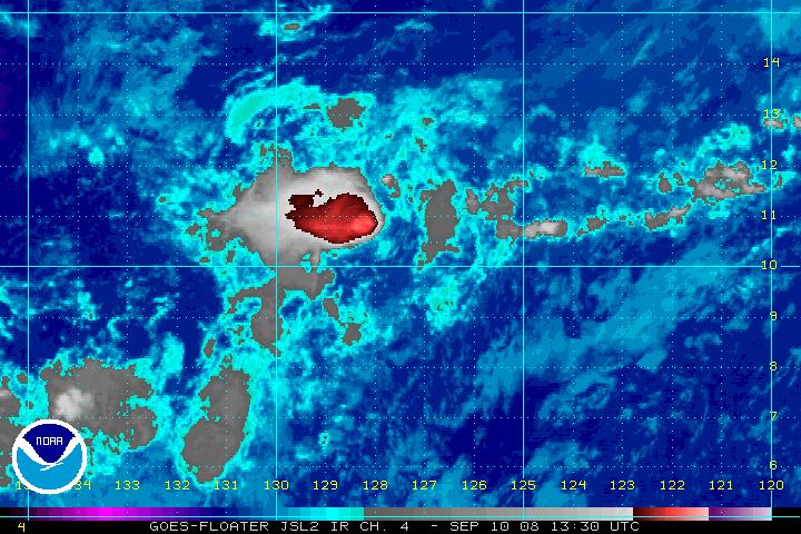
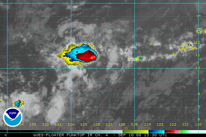
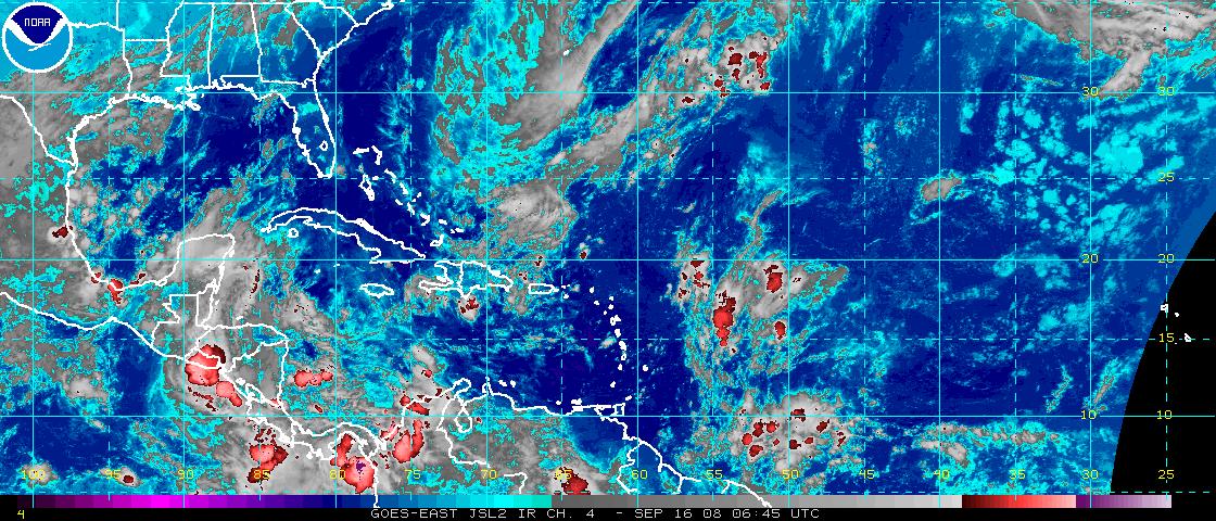
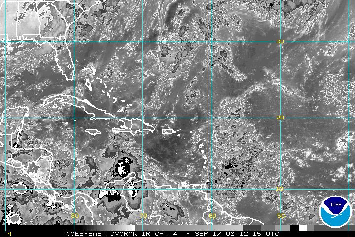
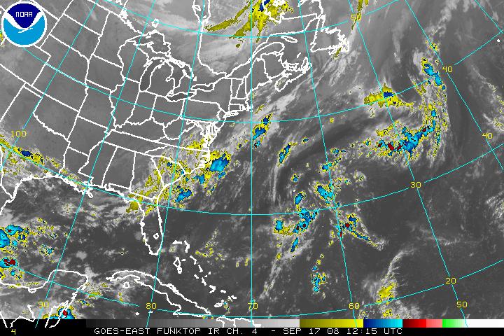
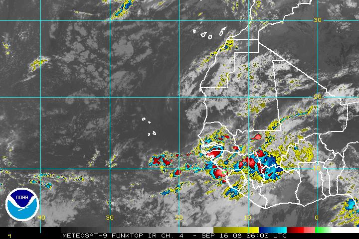
Atlantic Floater 1 Not Active Visible Image - Loop IR AVN Image - Loop IR Shortwave Image - Loop IR Dvorak* Image - Loop IR Unenhanced Image - Loop IR JSL Image - Loop IR RGB Image - Loop IR Funktop Image - Loop IR Rainbow Image - Loop Water Vapor Image - Loop |
Atlantic Floater 2 Not Active Visible Image - Loop IR AVN Image - Loop IR Shortwave Image - Loop IR Dvorak* Image - Loop IR Unenhanced Image - Loop IR JSL Image - Loop IR RGB Image - Loop IR Funktop Image - Loop IR Rainbow Image - Loop Water Vapor Image - Loop |
|
Atlantic Floater 3 Not Active Visible Image - Loop IR AVN Image - Loop IR Shortwave Image - Loop IR Dvorak* Image - Loop IR Unenhanced Image - Loop IR JSL Image - Loop IR RGB Image - Loop IR Funktop Image - Loop IR Rainbow Image - Loop Water Vapor Image - Loop |
Atlantic Floater 4 Not Active Visible Image - Loop IR AVN Image - Loop Shortwave IR Image - Loop IR Dvorak* Image - Loop IR Unenhanced Image - Loop IR JSL Image - Loop IR RGB Image - Loop IR Funktop Image - Loop IR Rainbow Image - Loop Water Vapor Image - Loop |
|
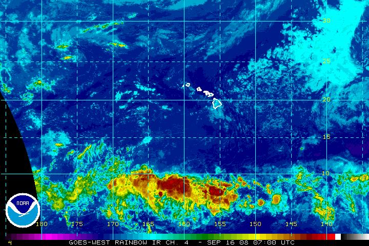
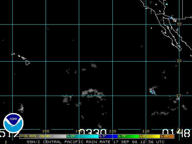
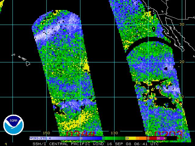
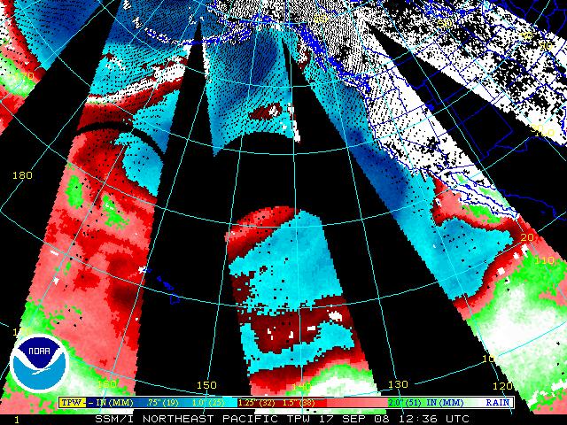
East Pacific Floater 1 Not Active Visible Image - Loop IR AVN Image - Loop IR Shortwave Image - Loop IR Dvorak* Image - Loop IR Unenhanced Image - Loop IR JSL Image - Loop IR RGB Image - Loop IR Funktop Image - Loop IR Rainbow Image - Loop Water Vapor Image - Loop |
East Pacific Floater 2 Not Active Visible Image - Loop IR AVN Image - Loop IR Shortwave Image - Loop IR Dvorak* Image - Loop IR Unenhanced Image - Loop IR JSL Image - Loop IR RGB Image - Loop IR Funktop Image - Loop IR Rainbow Image - Loop Water Vapor Image - Loop |
|
East Pacific Floater 3 Not Active Visible Image - Loop IR AVN Image - Loop IR Shortwave Image - Loop IR Dvorak* Image - Loop IR Unenhanced Image - Loop IR JSL Image - Loop IR RGB Image - Loop IR Funktop Image - Loop IR Rainbow Image - Loop Water Vapor Image - Loop |
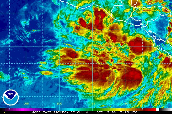
East Pacific Floater 4 Not Active Visible Image - Loop IR AVN Image - Loop IR Shortwave Image - Loop IR Dvorak* Image - Loop IR Unenhanced Image - Loop IR JSL Image - Loop IR RGB Image - Loop IR Funktop Image - Loop IR Rainbow Image - Loop Water Vapor Image - Loop |
|
*The Dvorak Technique and Descriptions of the Image Enhancements are available | |
Atlantic ViewsGOES-East
Atlantic Wide View
|
Pacific ViewsGOES-East
Eastern East Pacific
|
If you are experiencing difficulties accessing the images, try these sites:
Satellite images courtesy of NESDIS Satellite Services Division (NOAA).
IR CIMMS color images, where noted, are courtesy of CIMSS University of Wisconsin-Madison.
Learn More
Satellite Imagery FAQ -
The GOES Imager Tutorial
More Image Sites
GOES-8/10
Full Disk and Composite Images -
GOES Hurricane Sectors -
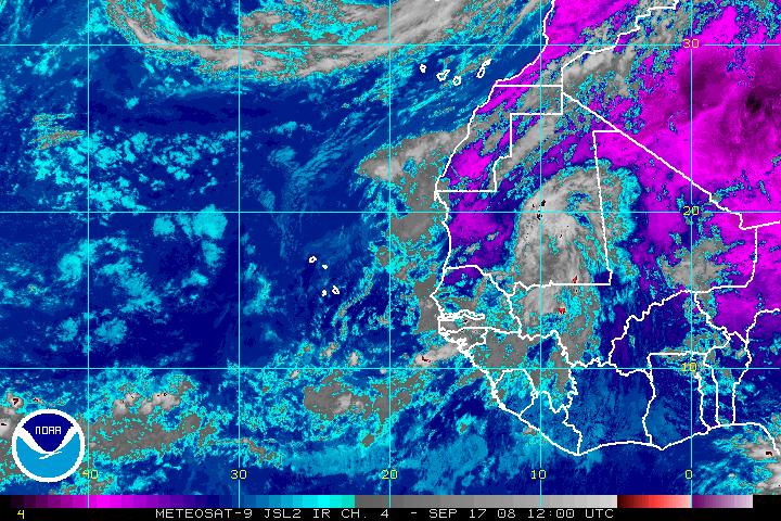
METEOSAT Full Disk E. Atlantic/Africa -
GOES Severe Storm Sector
Real-Time Geostationary and Polar Imagery
Atlantic and Gulf of Mexico -
East and Central Pacific
Get Storm Info
Satellite Imagery -
US Weather Radar -
Aircraft Recon -
Advisory Archive -
Mobile Products -
E-Mail Advisories -
RSS Feeds -
About NHC Products
Tropical Analysis and Forecasting
Atlantic Products -
E Pac Products -
About TAFB Products
Learn About Hurricanes
Hurricane Awareness -
Frequently Asked Questions -
AOML Hurricane-Research Division -
Hurricane Hunters -
The Saffir-Simpson-Hurricane Scale -
Forecasting Models -
Inland Wind Model -
Eyewall Wind-Profiles -
TPC Glossary -
TPC Acronyms -
Storm Names
Breakpoints
Hurricane History
NHC/TPC Archives -
Forecast Verification -
Climatology -
1492-1996 (Atlantic) -
1900-2000 (USA) -
Most Expensive -
Most Intense -
US Strikes by Decade -
US Strikes by State
About Us
About the TPC -
Mission/Vision -
Other NCEP Centers -
TPC Personnel -
NOAA Locator -
Visitor Information -
NHC Library -
WX4NHC Amateur Radio Station
NOAA/
National Weather Service
National Centers for Environmental Prediction
National Hurricane Center
Tropical Prediction Center
11691 SW 17th Street
Miami, Florida, 33165-2149 USA
nhcwebmaster@noaa.gov
Disclaimer
Privacy Policy
Credits
About Us
Glossary
Career Opportunities
Page last modified: Thursday, 04-Sep-2008 16:58:13 GMT