
Rapid Response to Coastal Ports a Key Hurricane Season Goal of NOAA’s Navigation Response Teams
June 17, 2008
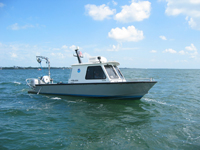
NOAA’s Navigation Response Teams feature sonar equipment used to detect dangerous obstructions on the ocean floor.
High resolution (Credit: NOAA)
With an active hurricane season forecast by NOAA's National Weather Service, planning and preparation is the message both to the general public as well as to key components within NOAA who respond with emergency services support following a storm's passage. Critical to a coastal community's rebound after a major coastal storm hit, is the work of NOAA's Office of Coast Survey's Navigational Response Teams (NRTs). When hurricanes and strong storms make landfall they often bring with them stronger than normal ocean currents that can shift navigational channels and bring debris that can threaten the ability of vessels to navigate safely in these channels.
Working in cooperation with other Federal agencies including the U.S. Coast Guard, the Army Corps of Engineers, and Federal Emergency Management Agency (FEMA), NOAA stands ready to respond quickly to port emergencies with its mobile NRTs.
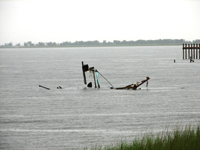
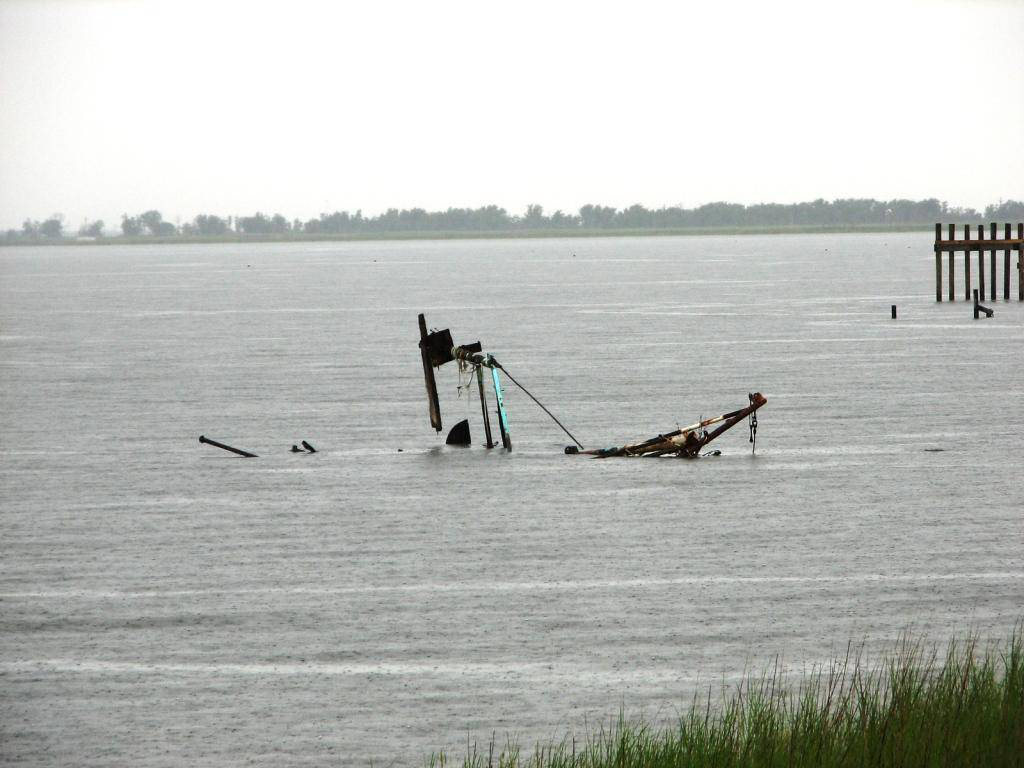
Sunken wreckage near port entrances and coastal waterways endanger commercial traffic from delivering much-needed supplies to hard-hit regions.
High resolution (Credit: NOAA)
"Our goal at NOAA is to ensure safe, healthy and productive coasts," notes John H. Dunnigan, NOAA assistant administrator of the National Ocean Service. "The role of the Office of Coast Survey in responding to the impacts of hurricanes is critical. The quick response of our Navigational Response Teams provides the foundation for getting coastal communities back on their feet quickly by clearing the way for both emergency supplies and normal maritime commerce to resume."
NRTs utilize small boats that can quickly survey ports and channels to update nautical charts allowing marine transportation to resume immediately following a hurricane or other disaster. Each of the six regional NRTs teams around the country consist of a three-person crew that uses some of the latest technology to quickly assess storm damage, identify submerged hazards or obstructions, and work with their federal, state and local community partners to restore safe navigational access.
NOAA NRT boats use sonar technology to locate and chart obstructions for safe navigation. The type of sonar that is used most often — side scan sonar — provides photograph-like imagery of the seafloor to view wreckage and debris below the surface. Some NOAA NRTs also operate a multi-beam sonar, a technology that provides full bottom coverage to create a three dimensional image of the seafloor for ocean depths on nautical charts.
Coastal areas hit hard by hurricanes require this rapid investigation to keep maritime vessel traffic navigating safely. The nation’s economic welfare depends upon the Marine Transportation System with ports and commercial vessel traffic contributing more than $1 trillion annually to the nation’s economy.
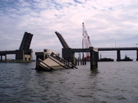
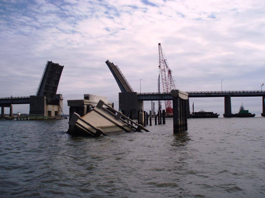
Wrecked Highway 90 Bridge at the mouth of Biloxi Bay, following Hurricane Katrina in 2005.
High resolution (Credit: NOAA)
During the 2005 hurricane season, NOAA NRT boats were critical to the reopening of ports in the Gulf of Mexico following Hurricanes Katrina, Rita, and Wilma. With shipping channels promptly charted, ships were able to get to the disaster region with much-needed supplies.
When not responding to hurricanes and other emergencies, NOAA NRTs provide valuable assistance to navigation safety by checking the accuracy of NOAA’s electronic navigational charts and responding to survey requests. Recent NOAA NRT missions include the discovery of a major shipwreck near the entrance to the Port of Pensacola, Fla. and surveys conducted for the U.S. Navy off Vieques Island, Puerto Rico, a former U.S. Navy training site, to assess the quantity, types, and distribution of dangerous underwater unexploded ordnance leftover from military training operations.
The National Oceanic and Atmospheric Administration, an agency of the U.S. Commerce Department, is dedicated to enhancing economic security and national safety through the prediction and research of weather and climate-related events and information service delivery for transportation, and by providing environmental stewardship of our nation's coastal and marine resources. Through the emerging Global Earth Observation System of Systems (GEOSS), NOAA is working with its federal partners, more than 70 countries and the European Commission to develop a global monitoring network that is as integrated as the planet it observes, predicts and protects.