If you are using
Navigator 4.x
or
Internet Explorer 4.x
or
Omni Web 4.x
, this site will not render
correctly!
Vis > gallery > mesoscale dynamics > Mesoscale Dynamics Visualizations
Mesoscale Dynamics Visualizations
The Blizzard of '93 | |

|
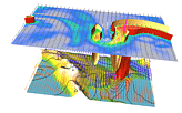
Advanced storm diagnostics developed at GFDL provide important insights into the evolution of intense storms, such as the so-called "Blizzard of '93", which roared up the east coast of the U.S. on 13-14 March 1993, setting new records in terms of snowfall, temperatures, and sea-level pressures. Some additional information is available from the Mesoscale Dynamics group. |
Mesoscale Circulation Modeling | |

|
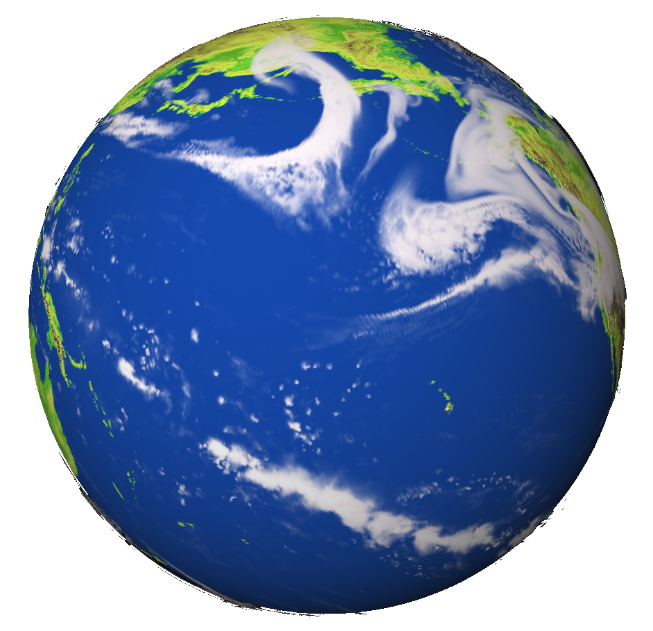
A stand alone explicit convection ZETAC model simulation (TERRA HRG_a) was done for the globe with an astonishing averaged grid resolution of about 10-12 km. Images and animations are available for this in addition to lower resolution experiments (TERRA HRG_00). |
Cyclones and Storms | |

|
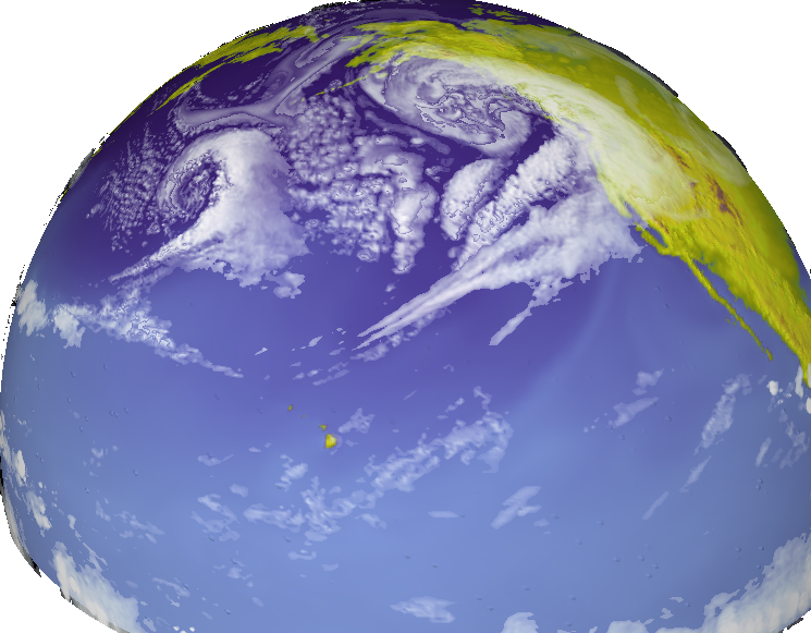
Developed at GFDL, ZETANC is a high resolution, non-hydrostatic, fully compressible model of hemispheric extent. The model is being used for the simulation of the detailed structure of extra-tropical storms and storm tracks. The studies are aimed in particular at a more definitive understanding of the effects of moist convection on storm structure and evolution. |
| More Information | |
| Research Group: | Mesoscale Dynamics |
