Satellite Images
|
| More Satellite Images |
| GOES-East Images: |
|||
|
|||
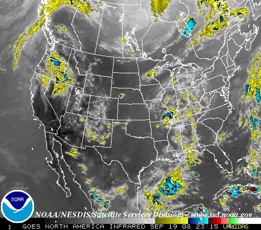
GOES-West Images:
|
For more satellite pictures, go to NOAA's GOES Homepage
A complete listing of other Satellite Data sites (UCAR)
A complete listing of other Satellite Data sites (UCAR)
| Profiler Data |
Wind Profiler Images for Sites across the US
| Upper Air Data |
Latest Upper-Air sounding for Aberdeen (UCAR)
Other Upper Air soundings and plot charts (UCAR)