|
|
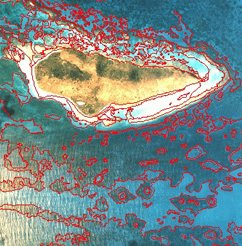
Benthic Habitat Mapping
The NOAA Coastal Services Center develops data in cooperation with local, state, and other federal agencies. These data are generated through both private sector contracts and in-house efforts. This section contains links to the Center's benthic data sets with accompanying FGDC-compliant metadata in a PKZIP format. The data sets were created from aerial photography, sediment profile imagery, sediment grabs, and the RoxAnn™ single-beam acoustic sensor. For more information on these mapping technologies, visit the Mapping Information section. The data sets have been organized by geographic region. To find other benthic data sets on-line, visit the Data Portal. This page provides links to other sources of national, regional, and state-specific coastal benthic data. |