 |
||||
|
|
|
|||


| |
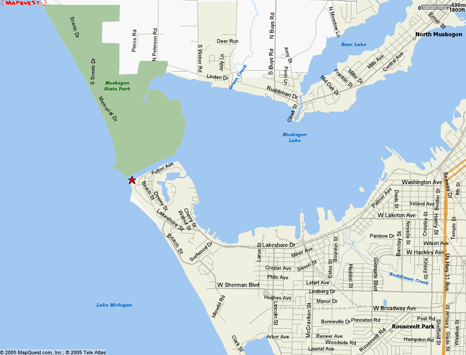
Real-Time Meteorological Observation Network
See Metadata File for full description of instruments and parameters.
| ||||||||||||||||||||||||||||||||||||||||||||||||||||||||||||||||||||||||||||||||||||||||||||||||||||||||||||||||||||||||||||||||||||||||||||||||||||||||||||||||||||||||||||||||||||||||||||||||||||||||||||||||||||||||||||||||||||||||||||||||
|
|
|||||||||||||||||||||||||||||||||||||||||||||||||||||||||||||||||||||||||||||||||||||||||||||||||||||||||||||||||||||||||||||||||||||||||||||||||||||||||||||||||||||||||||||||||||||||||||||||||||||||||||||||||||||||||||||||||||||||||||||||
|
||||||||||||||||||||||||||||||||||||||||||||||||||||||||||||||||||||||||||||||||||||||||||||||||||||||||||||||||||||||||||||||||||||||||||||||||||||||||||||||||||||||||||||||||||||||||||||||||||||||||||||||||||||||||||||||||||||||||||||||||
|
These data are also available from NDBC's Dial-a-Buoy. See http://www.ndbc.noaa.gov/dial.shtml for details. Realtime Data Disclaimer » NWS, Grand Rapids Office: Near-Realtime Marine Weather, includes current conditions and forecasts » NWS, White Lake Office: Near-Realtime Marine Weather, includes current conditions and forecasts » NDBC Great Lakes (West Region | East Region) ImageMap showing U.S. and Canadian Buoys and C-MAN Stations » NOAA CoastWatch Great Lakes NOAAPORT Data, includes all station types » NOAA's NowCoast: Web mapping portal to real-time coastal observations » Detailed Winds and WebCams courtesy of iWindsurf.com » NWS Great Lakes Marine Text Forecasts by Zone » Links to Great Lakes Water Temperature, Wind/Wave Data, & Water Levels » Additional GLERL WebCams » Additional Great Lakes WebCams from GLIN WWW Stats GLIN: Great Lakes Information Network | ||||||||||||||||||||||||||||||||||||||||||||||||||||||||||||||||||||||||||||||||||||||||||||||||||||||||||||||||||||||||||||||||||||||||||||||||||||||||||||||||||||||||||||||||||||||||||||||||||||||||||||||||||||||||||||||||||||||||||||||||

![[Live WebCam Image from Muskegon, MI Met Station Camera 1]](lmfs1.jpg)
![[Live WebCam Image from Muskegon, MI Met Station Camera 2]](lmfs2.jpg)
![[Live WebCam Image from Muskegon, MI Met Station Camera 3]](lmfs3.jpg)
![[Live WebCam Image from Muskegon, MI Met Station Camera 4]](lmfs4.jpg)