Severe Weather Briefing |
| Warning Status | ||
| Watch Warning Map Spotter Outlook 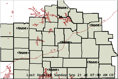
|
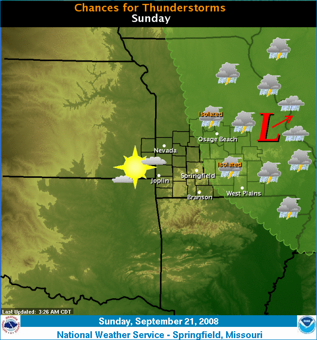
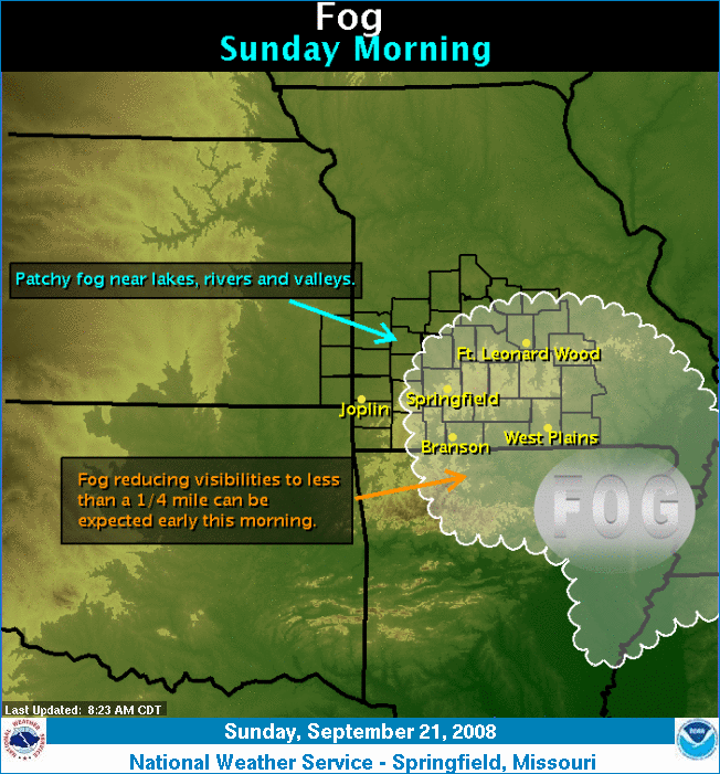 Fog will reduce visibilities across portions of the Missouri Ozarks through mid morning. Those traveling, particularly during the early morning hours, should be alert for drastic changes in visibility. |
|
| Weather Analysis & Observations | |||
 |
Radar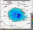 Local | Regional | Nat Local | Regional | Nat |
Satellite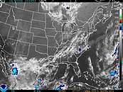 Visible | IR | WV Visible | IR | WV |
|
Surface Analysis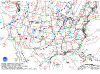 |
Sector Analysis 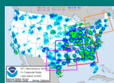 |
||
Storm Reports 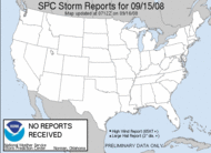 |
Upper Air  |
||
| Outlooks & Watches | |||
 |
Mesoscale Discussions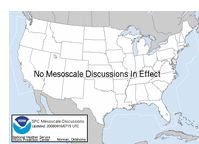 |
Day 1 Outllook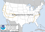 |
|
Watches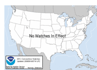 |
Watches & Warning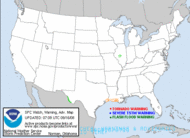 |
||
Day 2 Outlook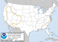 |
Day 3 Outlook |
||