Skip Navigation Links www.weather.gov 
NOAA logo - Click to go to the NOAA homepage National Weather Service   NWS logo - Click to go to the NWS homepage
The Hydrometeorological Prediction Center


Winter Weather Forecasts


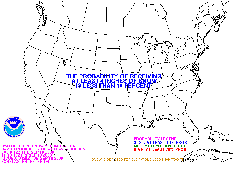
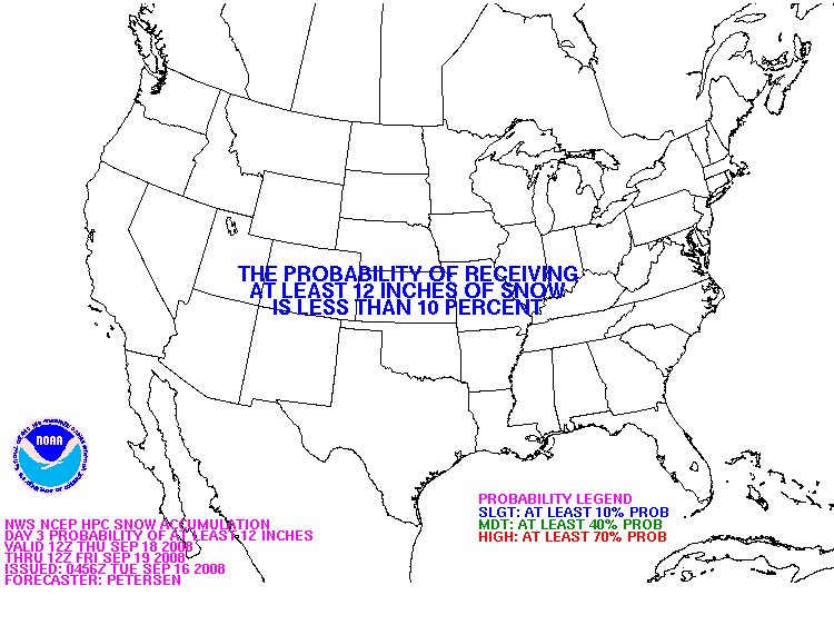
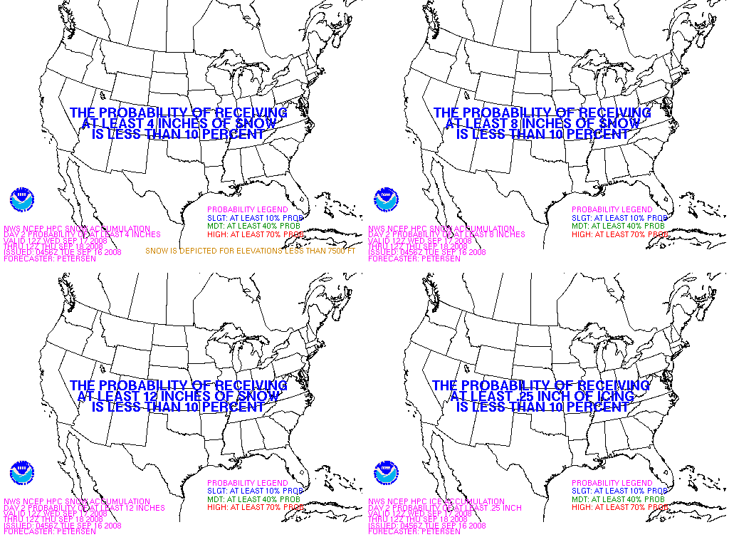
Snowfall Probability Forecasts
Probability of snowfall greater than or equal to 4 inches Day 1 Probability of snowfall greater than or equal to 8 inches Day 1 Probability of snowfall greater than or equal to 12 inches Day 1
Probability of snowfall greater than or equal to 4 inches Day 2 Probability of snowfall greater than or equal to 8 inches Day 2 Probability of snowfall greater than or equal to 12 inches Day 2
Probability of snowfall greater than or equal to 4 inches Day 3 Probability of snowfall greater than or equal to 8 inches Day 3 Probability of snowfall greater than or equal to 12 inches Day 3


Specific (deterministic) snow accumulations for a particular location in the United States can be obtained from the National Weather Service home page. Note, at this site you will have to click the GRAPHICAL FORECAST tab prior to clicking a location on the map.

NCEP monitoring of ongoing or imminent (up to six hours in the future) Hazardous Winter Weather can be found at SPC Mesoscale Discussion Link


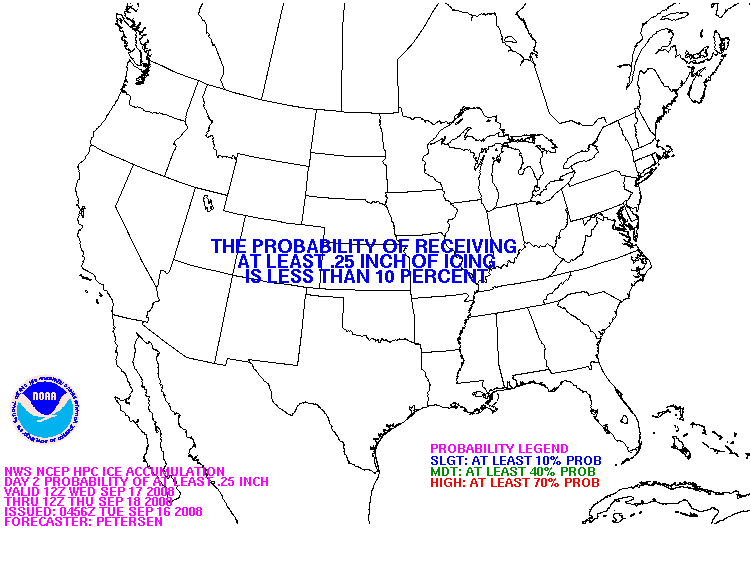
Freezing Rain Probability Forecasts

Day 1 probability of freezing rain greater than or equal to .25 inch. Day 1 Day 2 probability of freezing rain greater than or equal to .25 inch. Day 2 Day 3 probability of freezing rain greater than or equal to .25 inch. Day 3


Composite Charts

Day 1 probability of snow greater than or equal to 4, 8, and 12 inches and freezing rain greater 
            than or equal to .25 inch Day 1 Day 2 probability of snow greater than or equal to 4, 8, and 12 inches and freezing rain greater 
            than or equal to .25 inch Day 2 Day 3 probability of snow greater than or equal to 4, 8, and 12 inches and freezing rain greater 
            than or equal to .25 inch Day 3


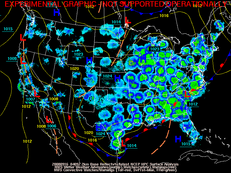
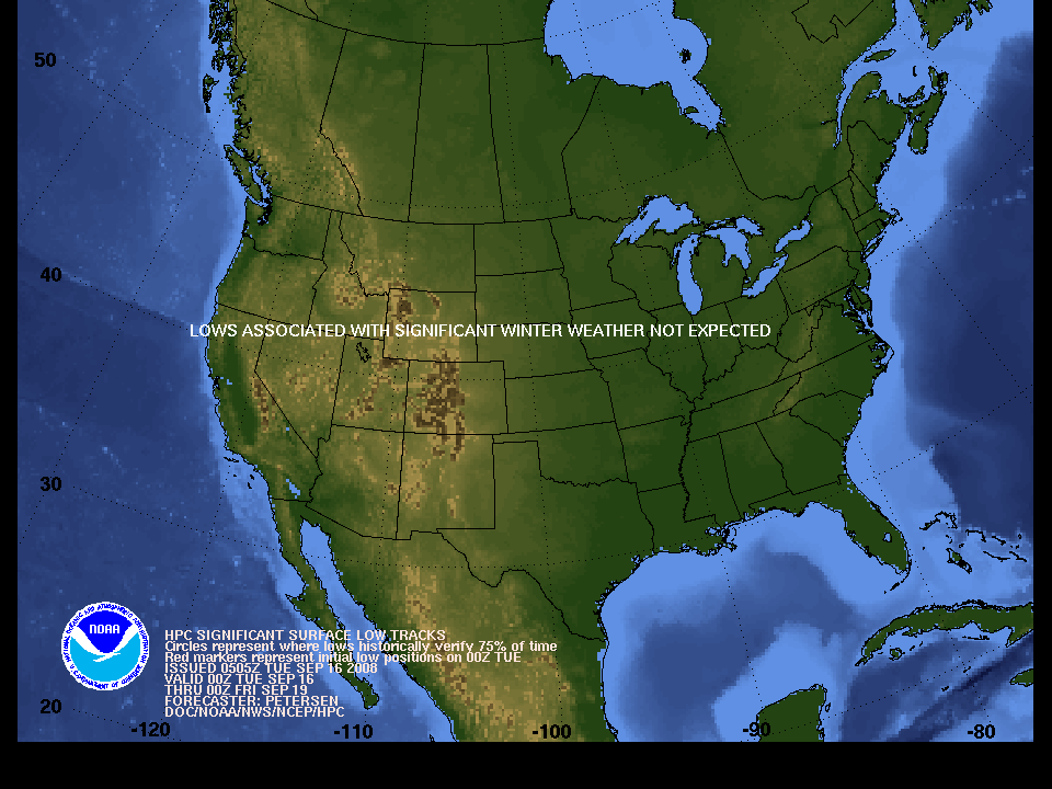
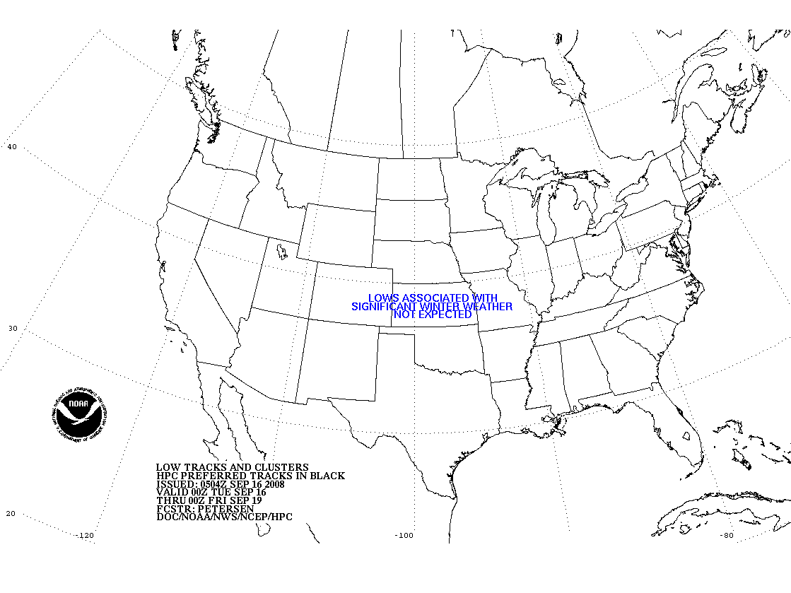
Day 1-3 Surface Low Tracks

Latest HPC surface analysis, NWS Winter Weather Watches/Warnings/Advisories, and radar loop Current Surface Low Positions Day 1-3 forecast of surface low tracks associated with significant winter weather Forecast Surface Low Positions Day 1-3 forecast of surface low tracks associated with significant winter weather Forecast Surface Low Positions (Technical)


Heavy Snow/Icing Discussion

Winter Weather Product Information


Winter Weather Links


NOAA/ National Weather Service
National Centers for Environmental Prediction
Hydrometeorological Prediction Center
5200 Auth Rd
Camp Springs, Maryland 20746
Hydrometeorological Prediction Center Web Team
Disclaimer
Credits
Glossary
Privacy Policy
About Us
Career Opportunities
Page last modified: Friday, 07-Dec-2007 14:15:48 GMT