 |
|||||||||||||||||||||||
|
|
|||||||||||||||||||||||

NOAA Photo Library's Coast & Geodetic Survey Album |
 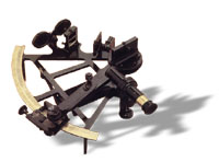
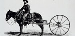
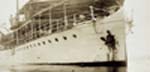
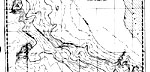
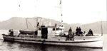
Surveying and mapping in the Coast and Geodetic Survey encompassed seafloor, shoreline, mountain-tops and plains. And for good measure, they also had to keep track of tides and currents that changed the apparent location of shorelines every few hours as well as making some ship passages safe at high tides and dangerous at low tides.
|
||||||||||||||||||||||
|
|||||||||||||||||||||||