All NASS
All USDA
Ag. Census
Pubs at Cornell
NASS on USDA
Alabama
Alaska
Arkansas
Arizona
California
Colorado
Florida
Hawaii
Georgia
Delaware
Idaho
Iowa
Illinois
Indiana
Kansas
Kentucky
Louisiana
Maryland
Michigan
Minnesota
Mississippi
Missouri
Montana
Nebraska
Nevada
New England
New Jersey
New York
New Mexico
North Carolina
North Dakota
Ohio
Oklahoma
Oregon
Pennsylvania
Puerto Rico
South Carolina
South Dakota
Tennessee
Texas
Utah
Virginia
Washington
West Virginia
Wisconsin
Wyoming
Select a State
Alabama
Alaska
Arizona
Arkansas
California
Colorado
Connecticut
Delaware
Florida
Georgia
Hawaii
Idaho
Illinois
Indiana
Iowa
Kansas
Kentucky
Louisiana
Maine
Maryland
Massachusetts
Michigan
Minnesota
Mississippi
Missouri
Montana
Nebraska
Nevada
New England
New Hampshire
New Jersey
New Mexico
New York
North Carolina
North Dakota
Ohio
Oklahoma
Oregon
Pennsylvania
Puerto Rico
Puerto Rico (Spanish)
Rhode Island
South Carolina
South Dakota
Tennessee
Texas
Utah
Vermont
Virginia
Washington
West Virginia
Wisconsin
Wyoming
You are here:
Home
/
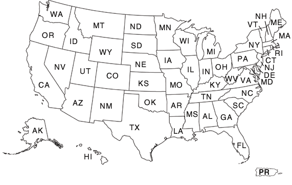
Select the State from the map or from the text below the map.
Alabama
Alaska
Arizona
Arkansas
California
Colorado
Connecticut
Delaware
Florida
Georgia
Hawaii
Idaho
Illinois
Indiana
Iowa
Kansas
Kentucky
Louisiana
Maine
Maryland
Massachusetts
Michigan
Minnesota
Mississippi
Missouri
Montana
Nebraska
Nevada
New Hampshire
New Jersey
New Mexico
New York
North Carolina
North Dakota
Ohio
Oklahoma
Oregon
Pennsylvania
Puerto Rico
Rhode Island
South Carolina
South Dakota
Tennessee
Texas
Utah
Vermont
Virginia
Washington
West Virginia
Wisconsin
Wyoming
NASS Home
|
USDA.gov
|
FEDSTATS
|
Economics Statistics System (ESS)
|
Site Map
|
Translate
|
USA.gov
|
White House
FOIA
|
Accessibility Statement
|
Privacy Policy
|
Non-Discrimination Statement
|
Information Quality
|
Guidance Documents