|
Interesting Stuff 
Weather Cartoon
Weather
Cloud Types
Tornadoes
Hurricanes
How we forecast weather
Introduction
Observations
Analysis
Forecast models
Climate
El Niño y La Niña
The Ozone problem
Global Warming
Planets
|
Current satellite image
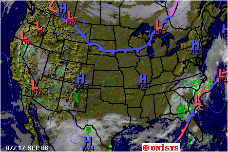
Current satellite image
and surface map (background is elevation
relief)
Click on map to get local data and forecast
-
Pronostico para la Argentina
-
Forecast information was provided by Weather Channel, Unisys, European Center for Weather Forecast,
National Center for Environmental Prediction/NOAA, Climate Prediction Center/NOAA,
NASA, Argentine Weather Service and British Met Office.
-
This web-page was created by a group of students
(The Weather Wizards) from the John Witherspoon Middle School (Spring 1998)
|

