
|
|
| |
NOAA Pacific Services Center
Tsunami Hazard Information ServiceOverview
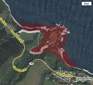
This service was created by the NOAA Pacific Services Center in partnership with the State of Hawai'i. To find out if you are located in a tsunami evacuation zone, enter your address or island area in the search boxes below. Tsunami Evacuation ZonesThe Tsunami Map Viewer returns a map of areas with Tsunami Evacuation Zones based on information that you enter.
|
 The
Tsunami Hazard Information Service provides residents and visitors of
the State of Hawai'i easy, online access to the State’s tsunami
evacuation zone maps as well as information about potential risks,
how to prepare, and what to do in the event of a tsunami.
The
Tsunami Hazard Information Service provides residents and visitors of
the State of Hawai'i easy, online access to the State’s tsunami
evacuation zone maps as well as information about potential risks,
how to prepare, and what to do in the event of a tsunami.