|
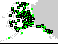 |
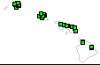
American Samoa · Guam · Puerto Rico/Virgin Islands |
 |
 |
|
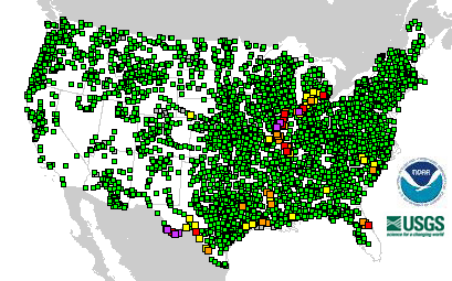
4058 Total Gauges
|
 8 Gauges: Major Flooding 8 Gauges: Major Flooding
|
|
65 Locations in Flood |
 19 Gauges: Moderate Flooding 19 Gauges: Moderate Flooding
|
|
|
 38 Gauges: Minor Flooding 38 Gauges: Minor Flooding
|
 256 Gauges: Observations older than 24 hours 256 Gauges: Observations older than 24 hours
|
 46 Gauges: Near Flood Stage 46 Gauges: Near Flood Stage
|
 12 Gauges: Out of Service 12 Gauges: Out of Service
|
 3679 Gauges: No Flooding 3679 Gauges: No Flooding
|
Last map update: Sat, Sep, 20, 2008 at 02:53:00 am EDT.
|
|

